April 9, 2018
egilsstaðir \ the east
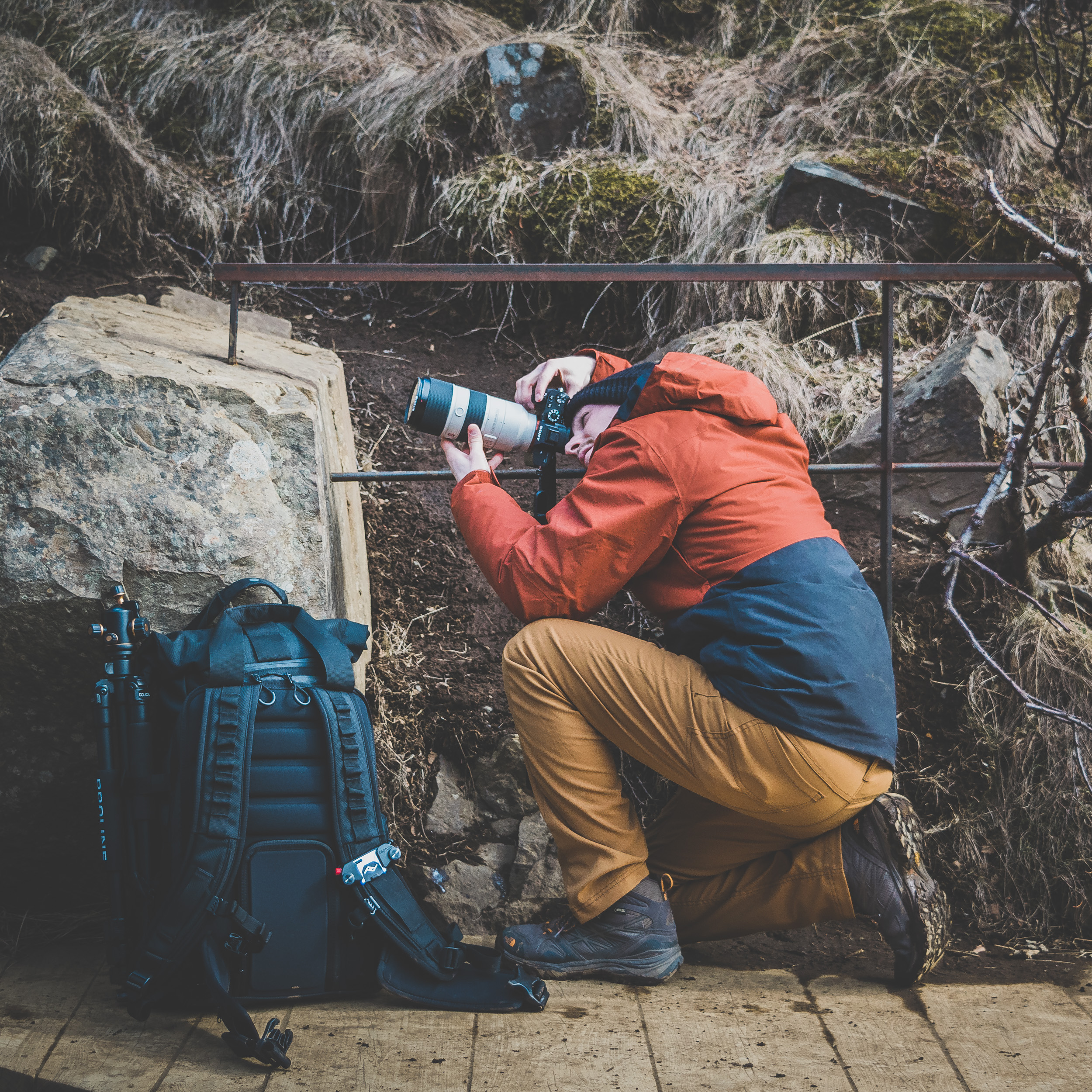
Behind the Scenes:
Our beloved drone broke just three days into our trip.
The Scene:
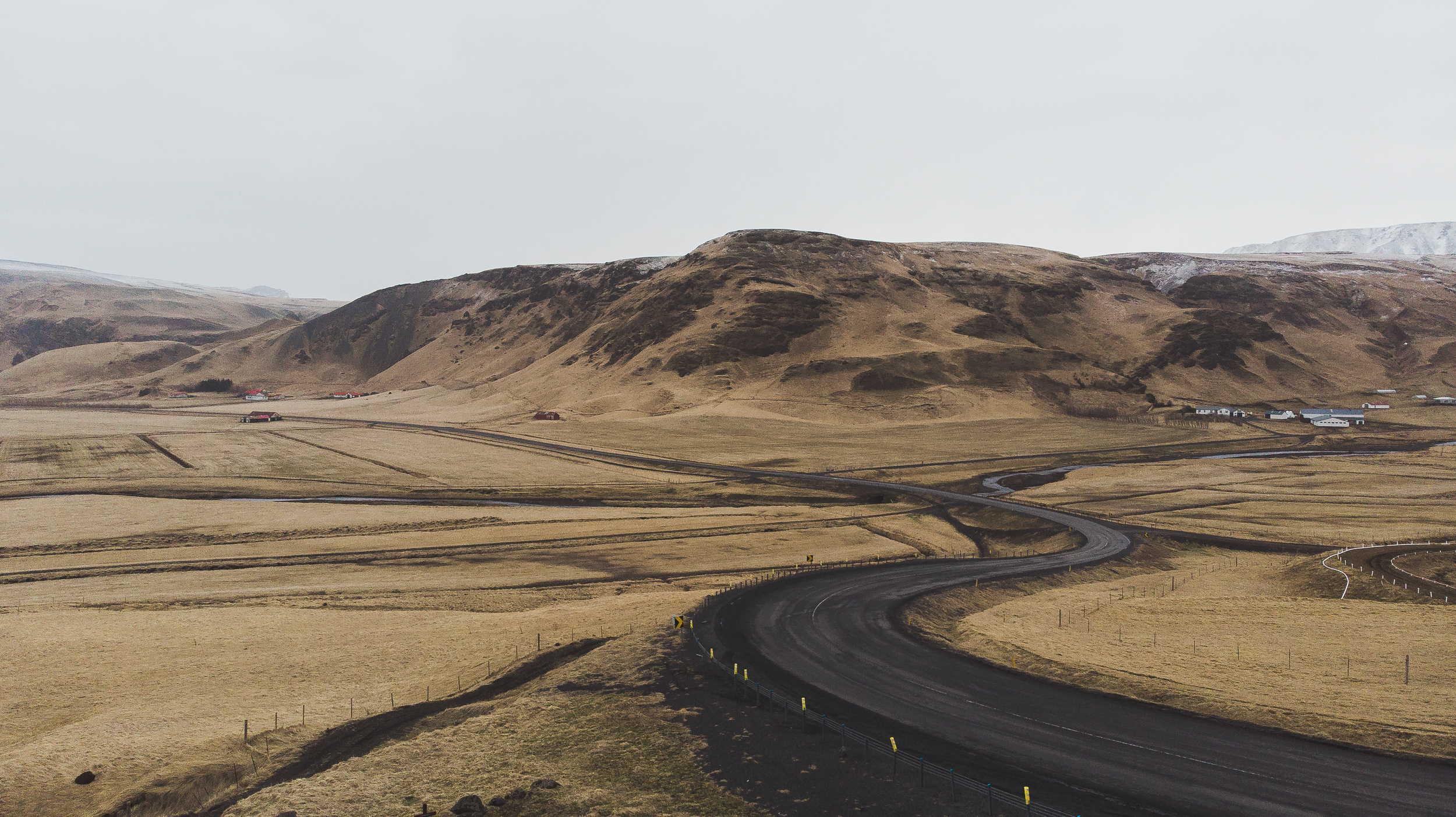
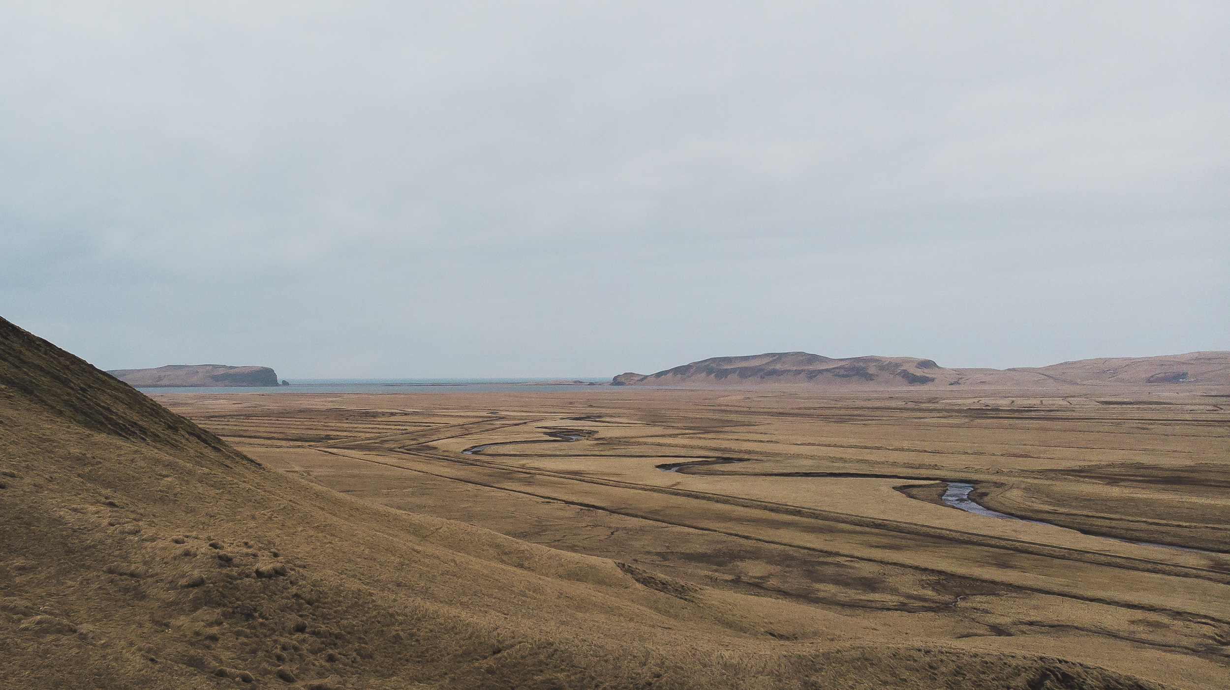
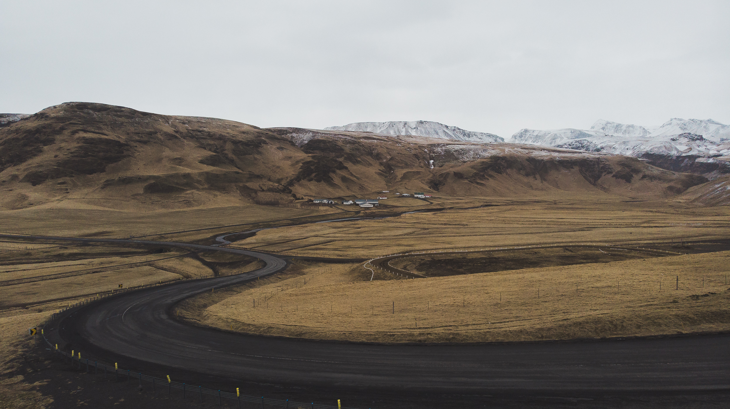
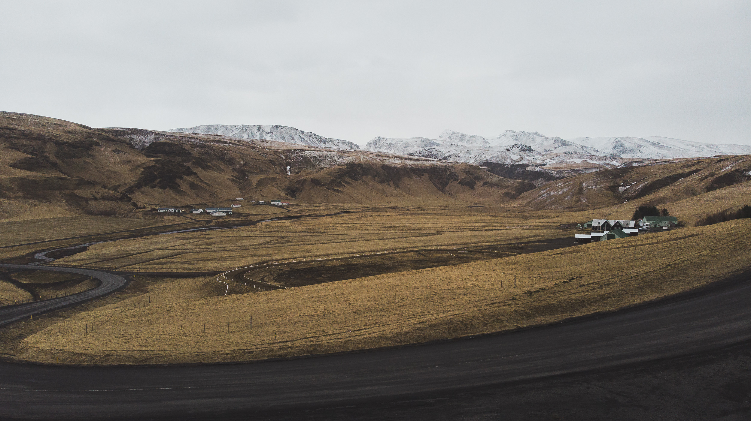
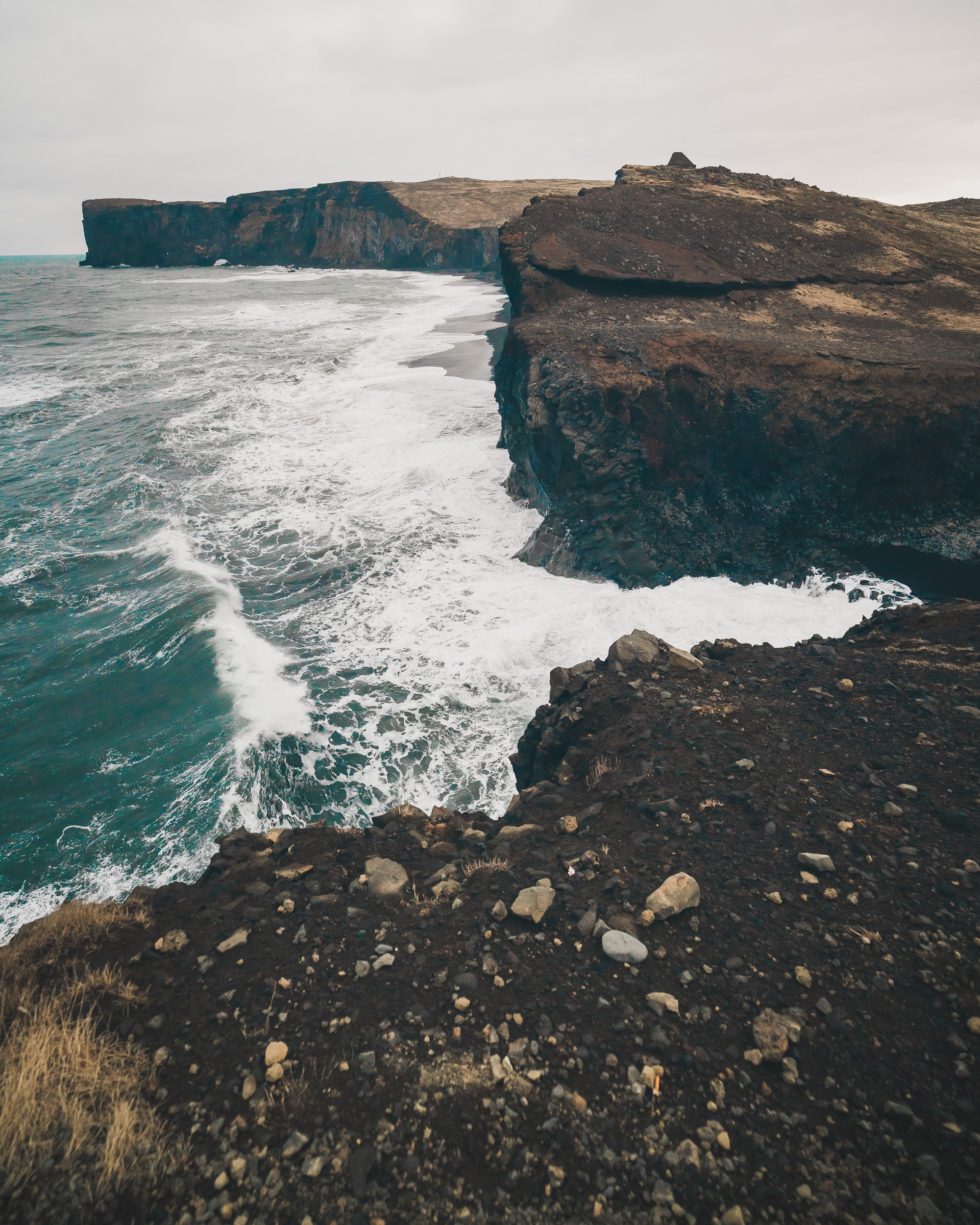
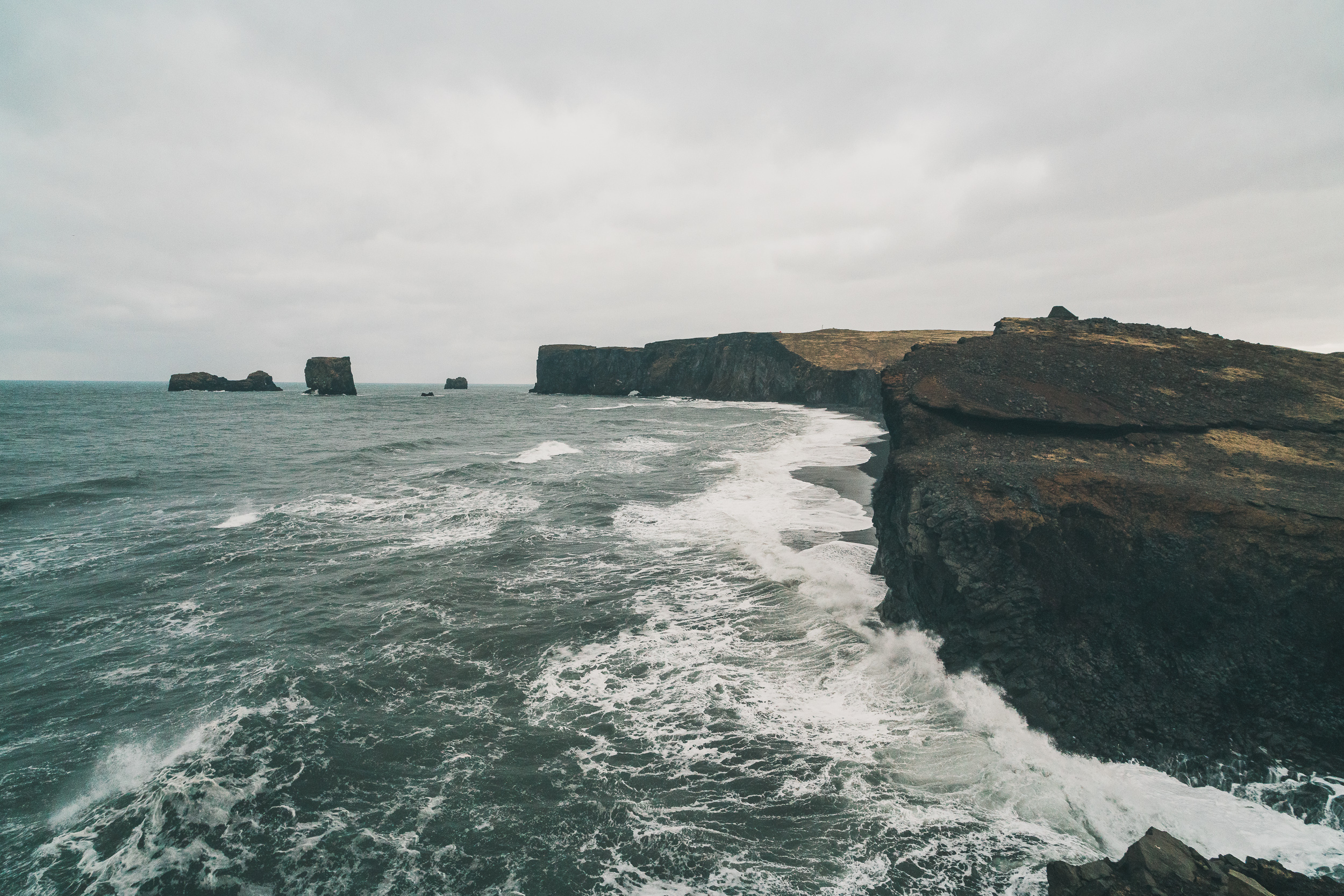
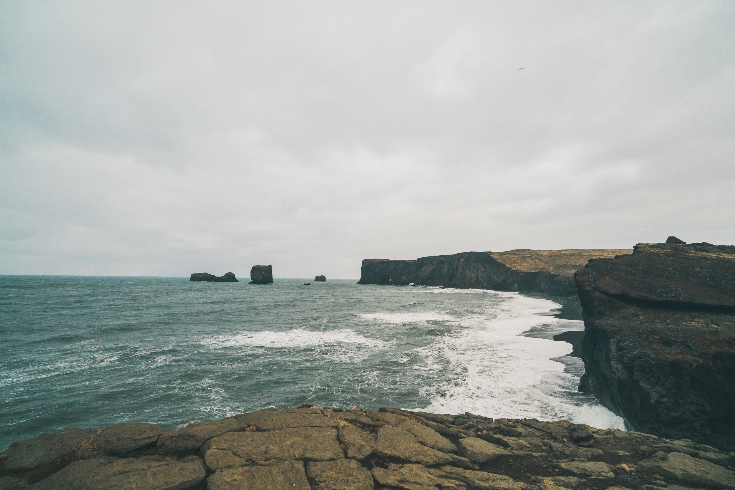
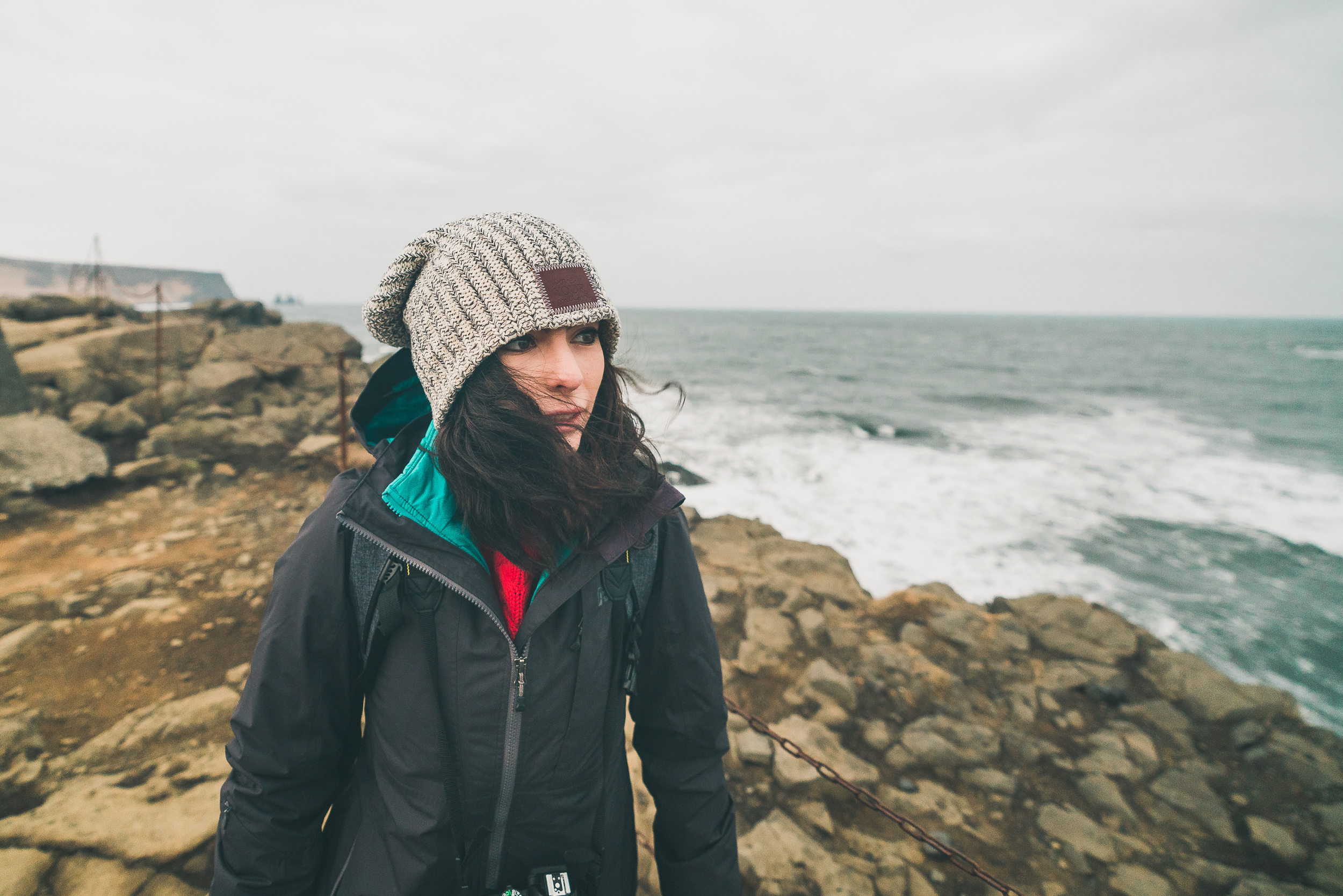
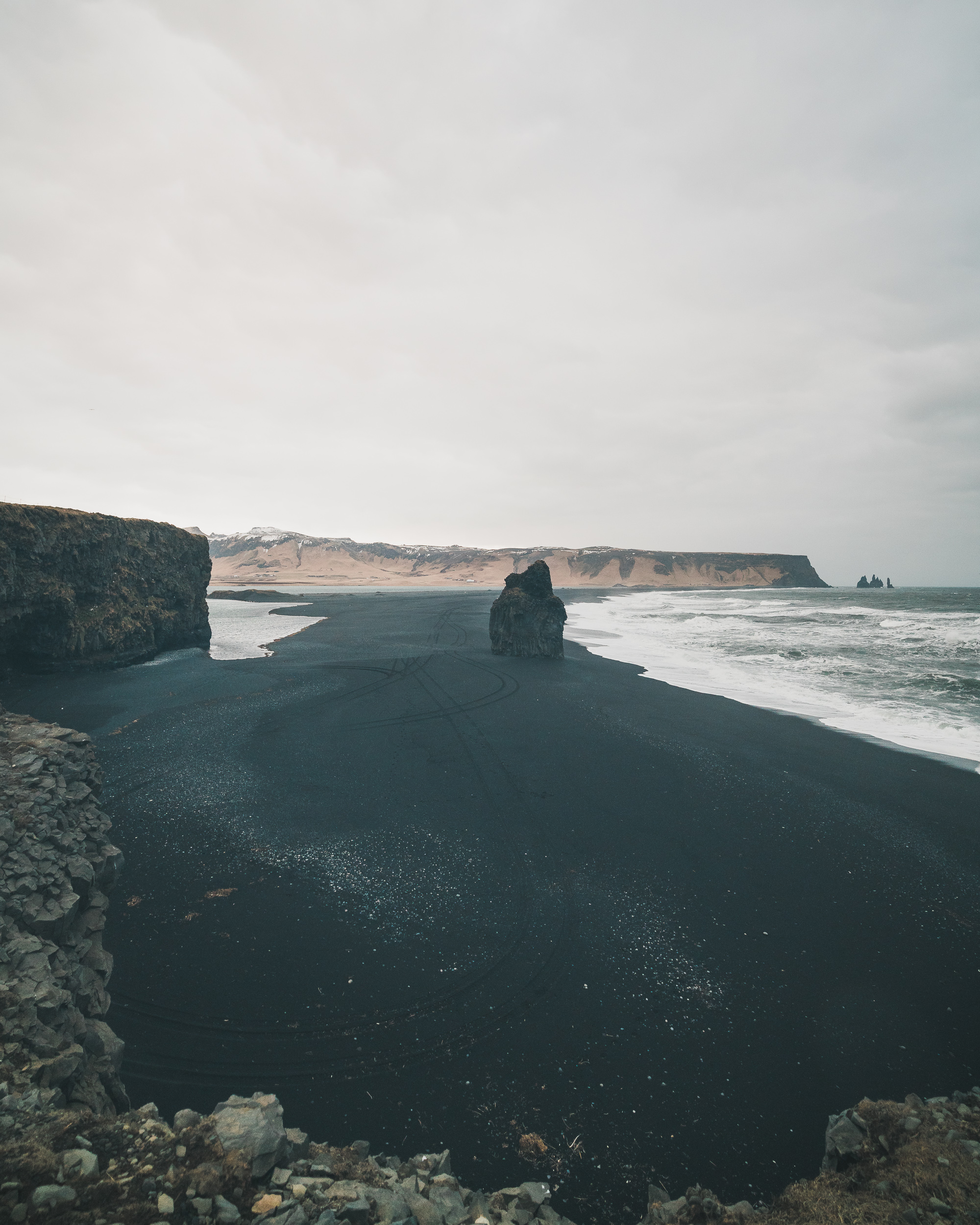
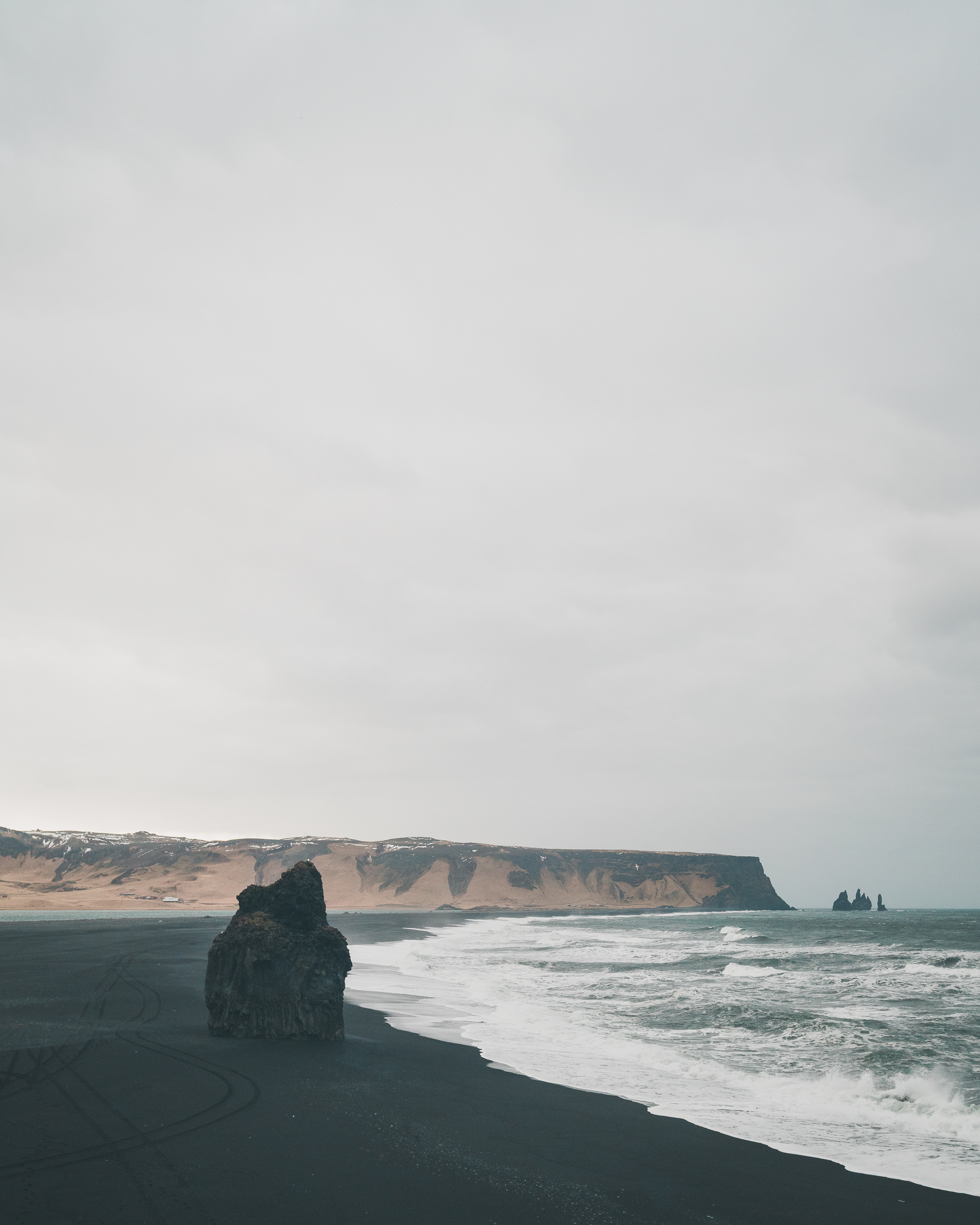
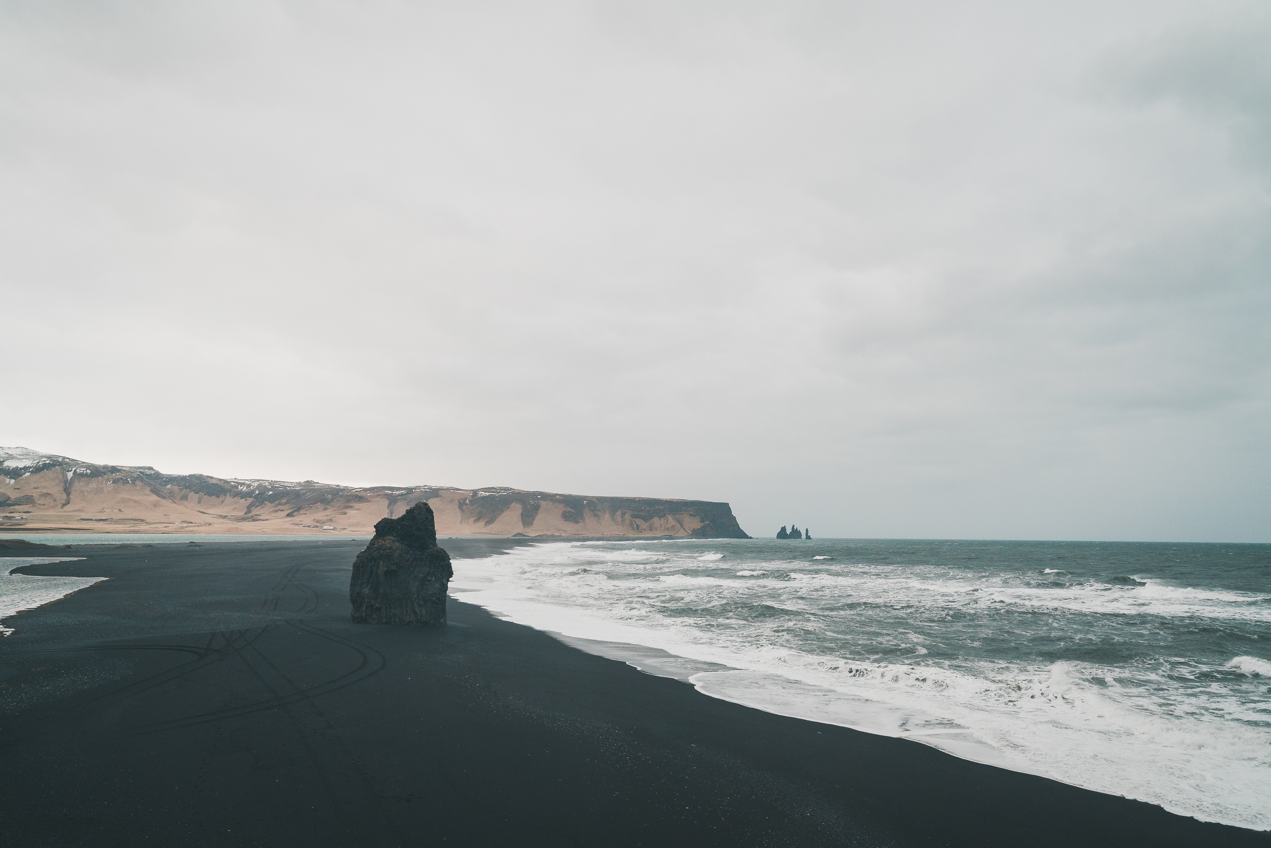
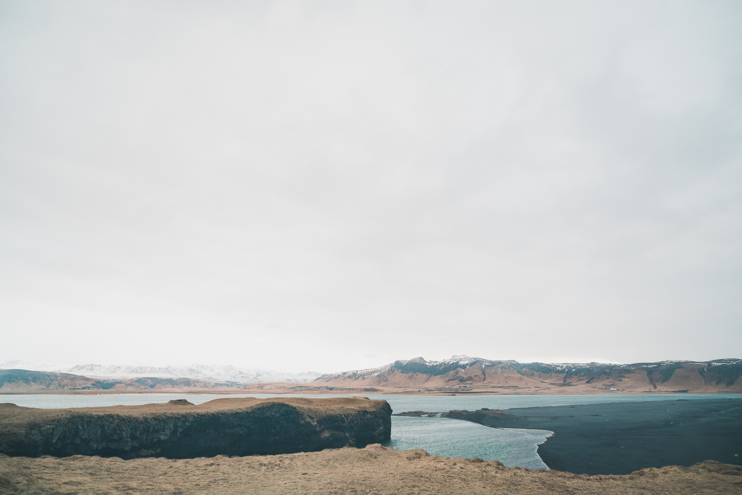
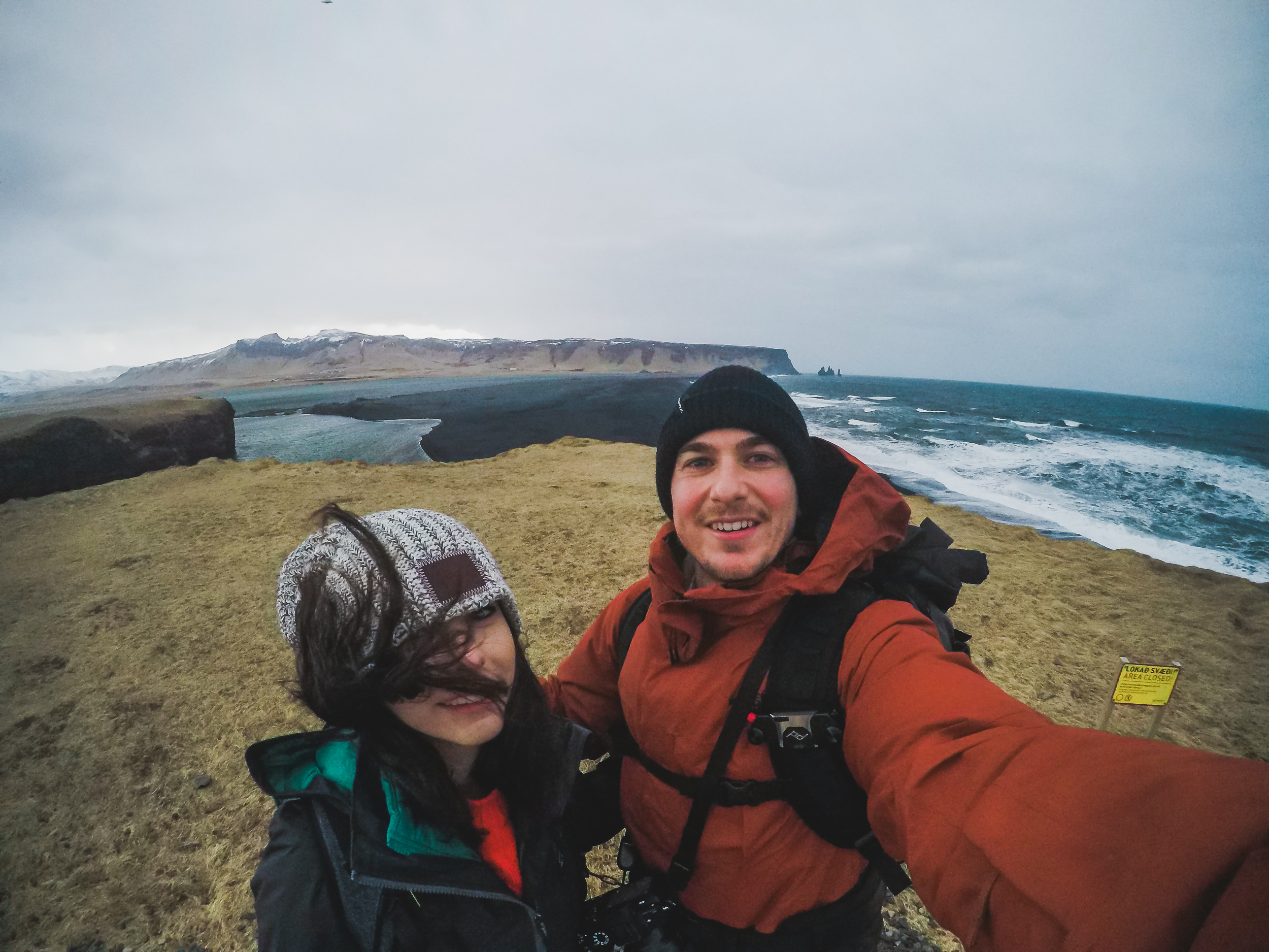
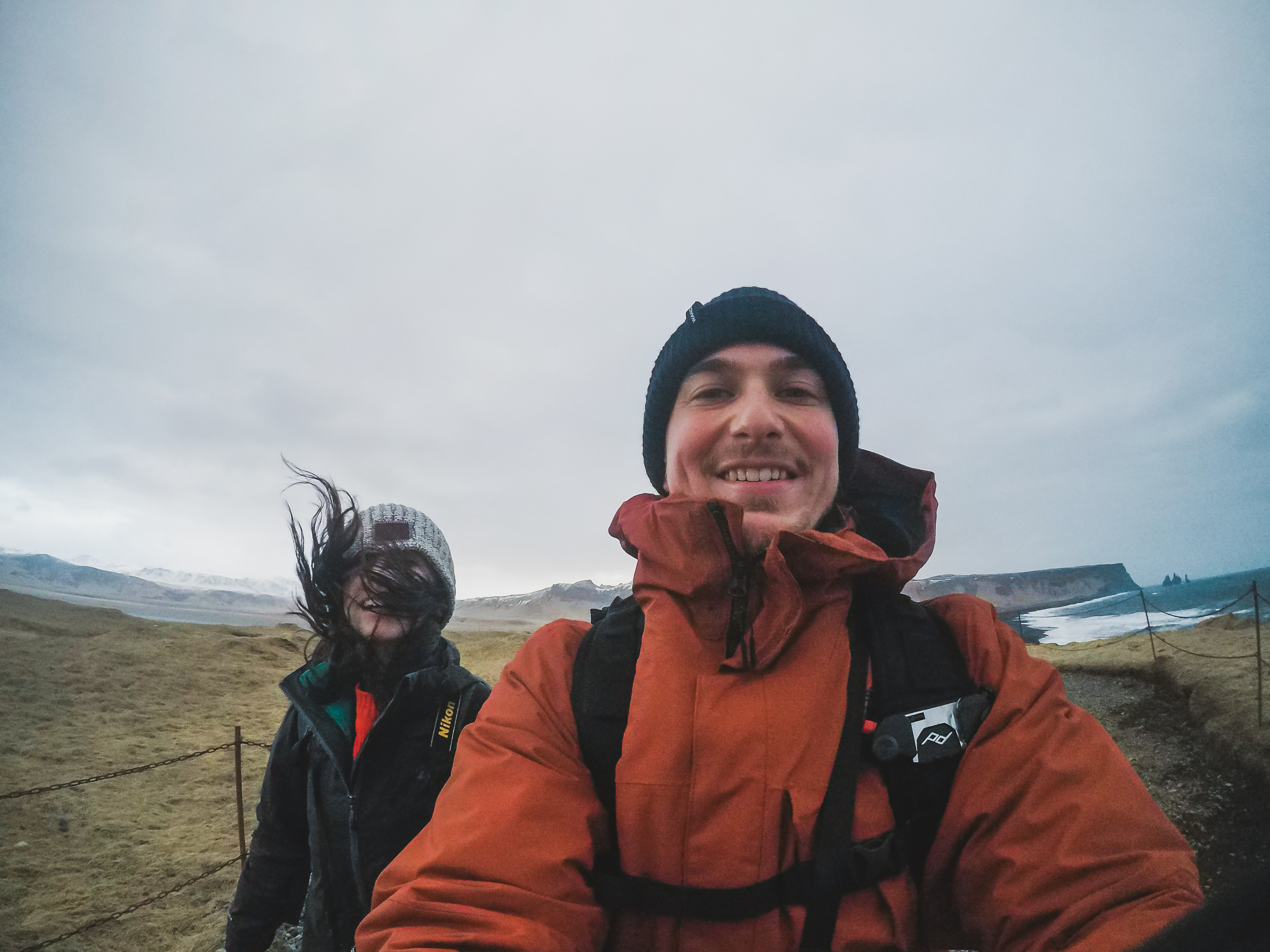
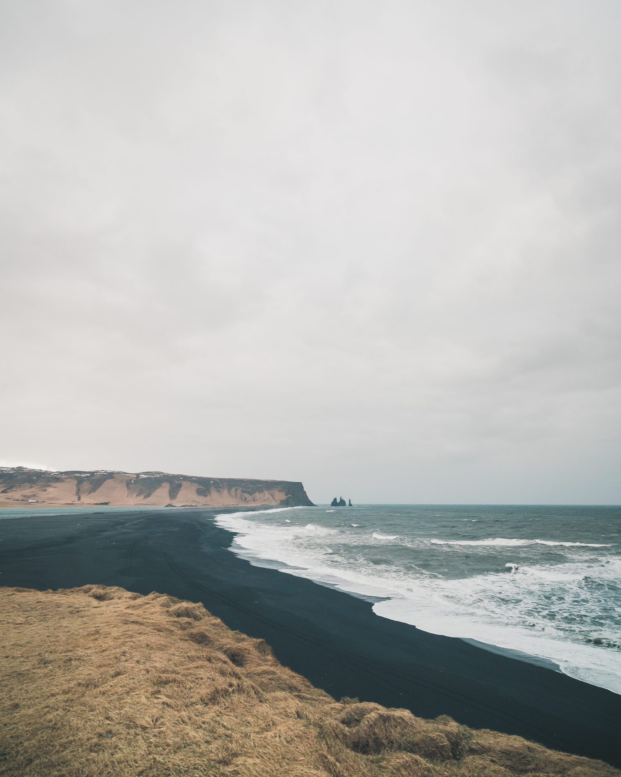
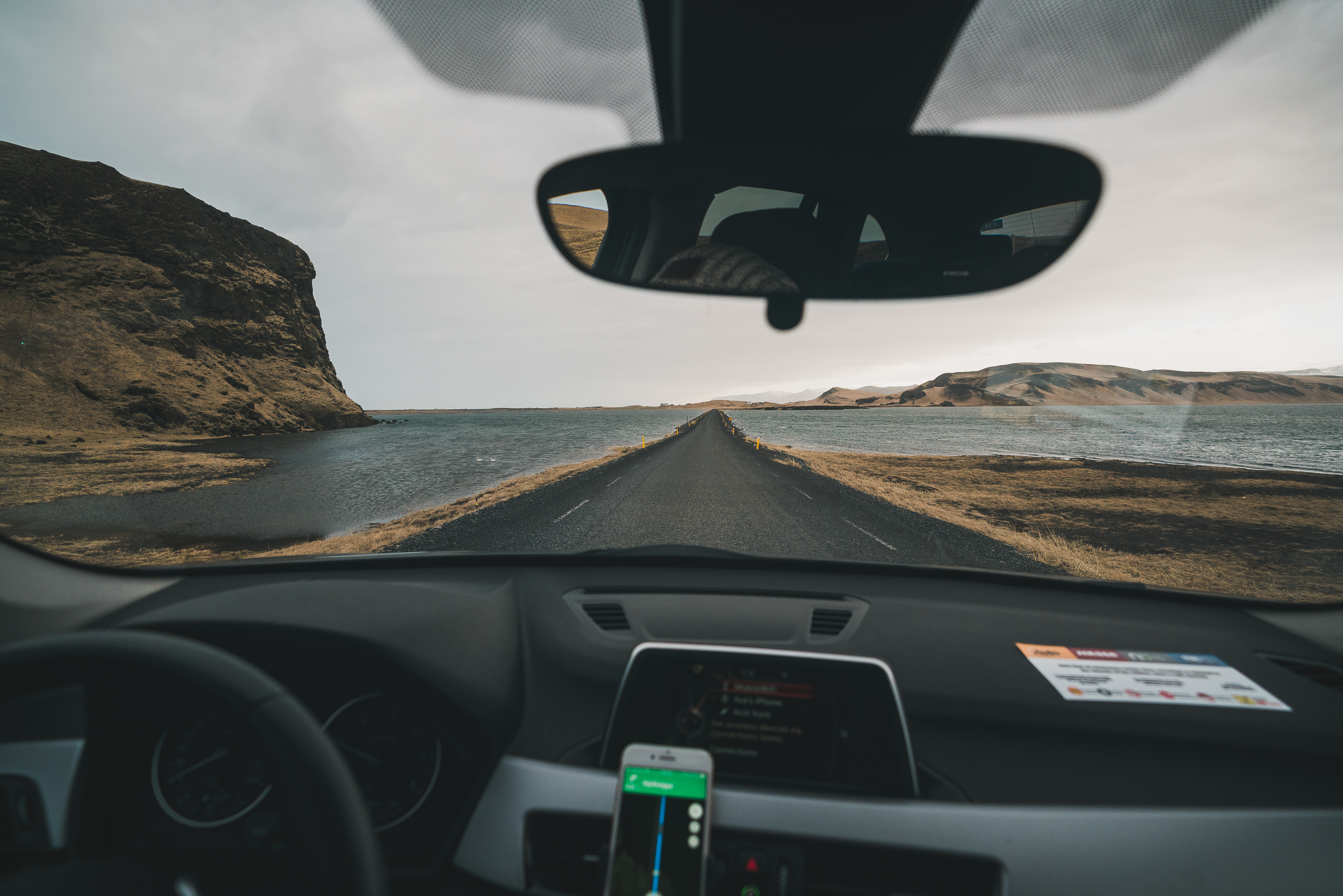
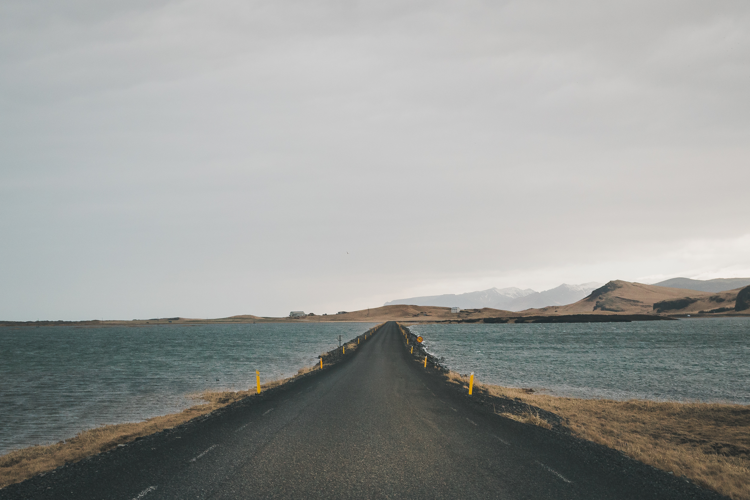
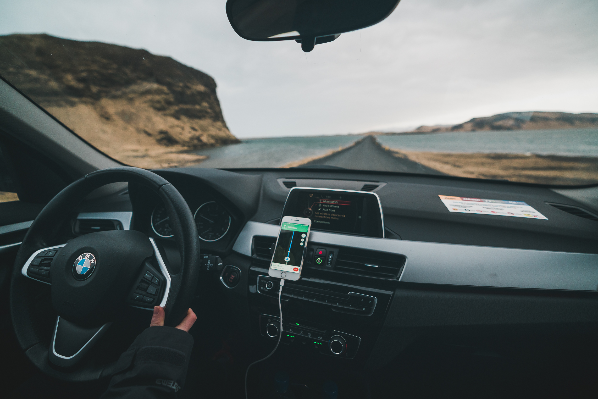
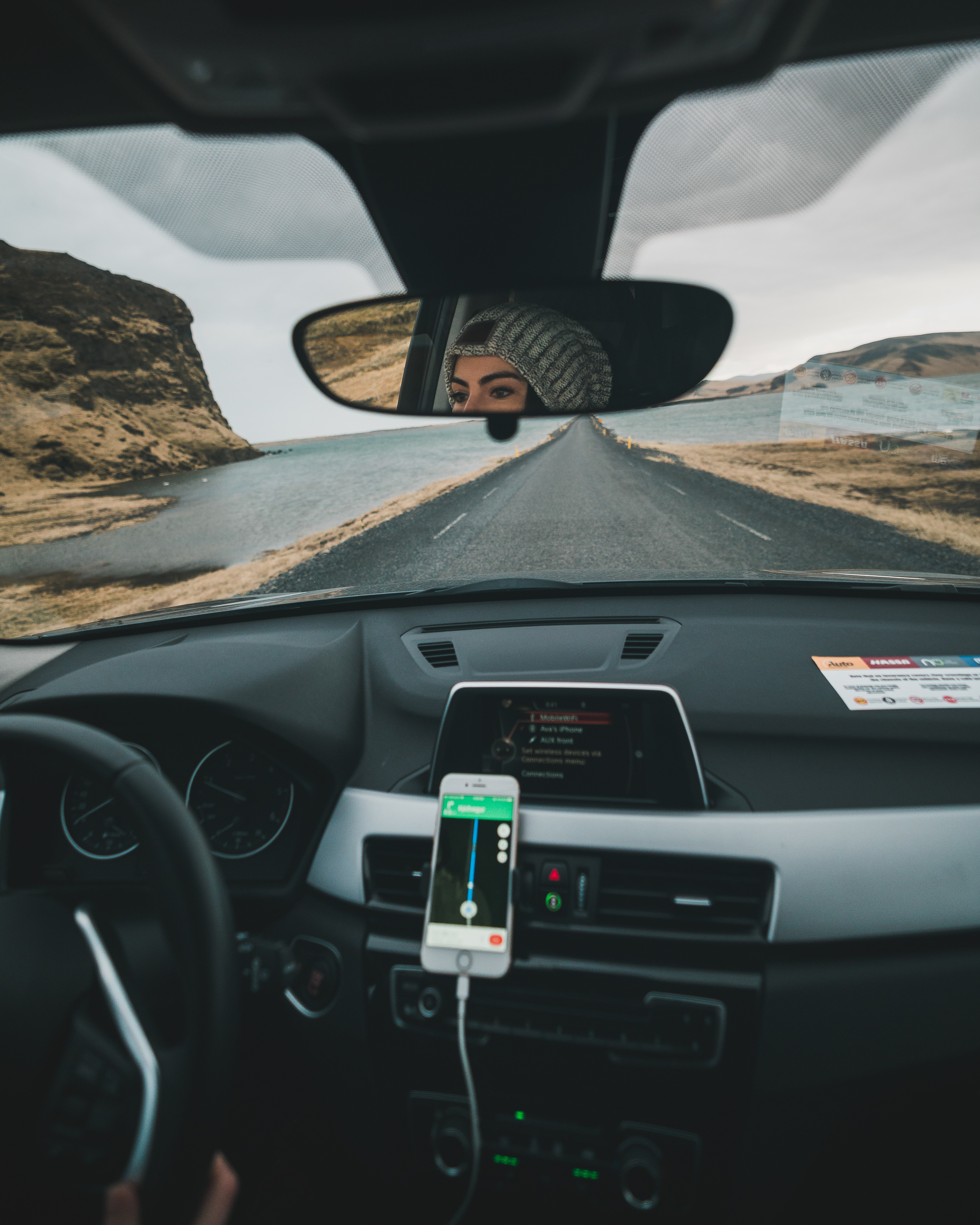
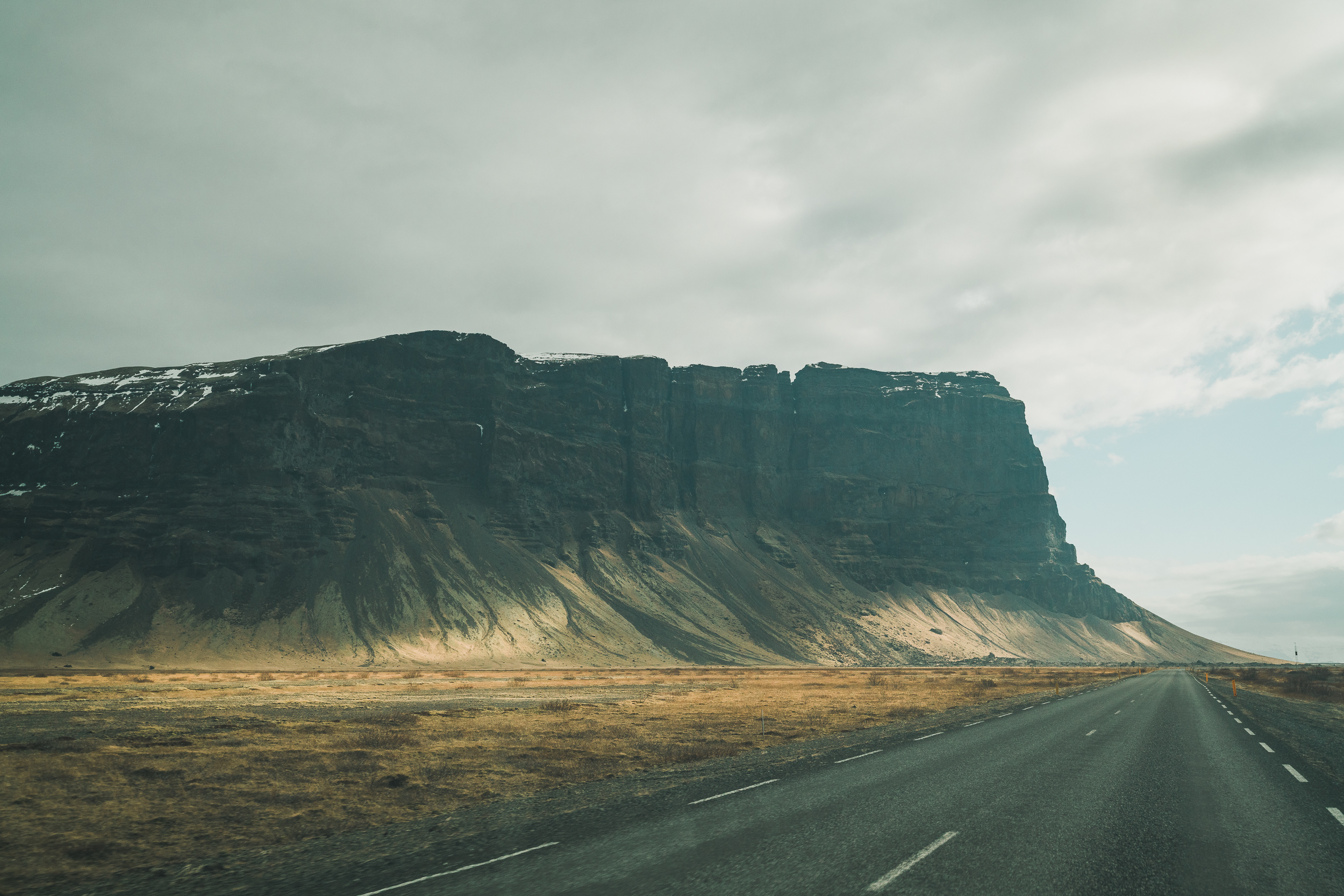
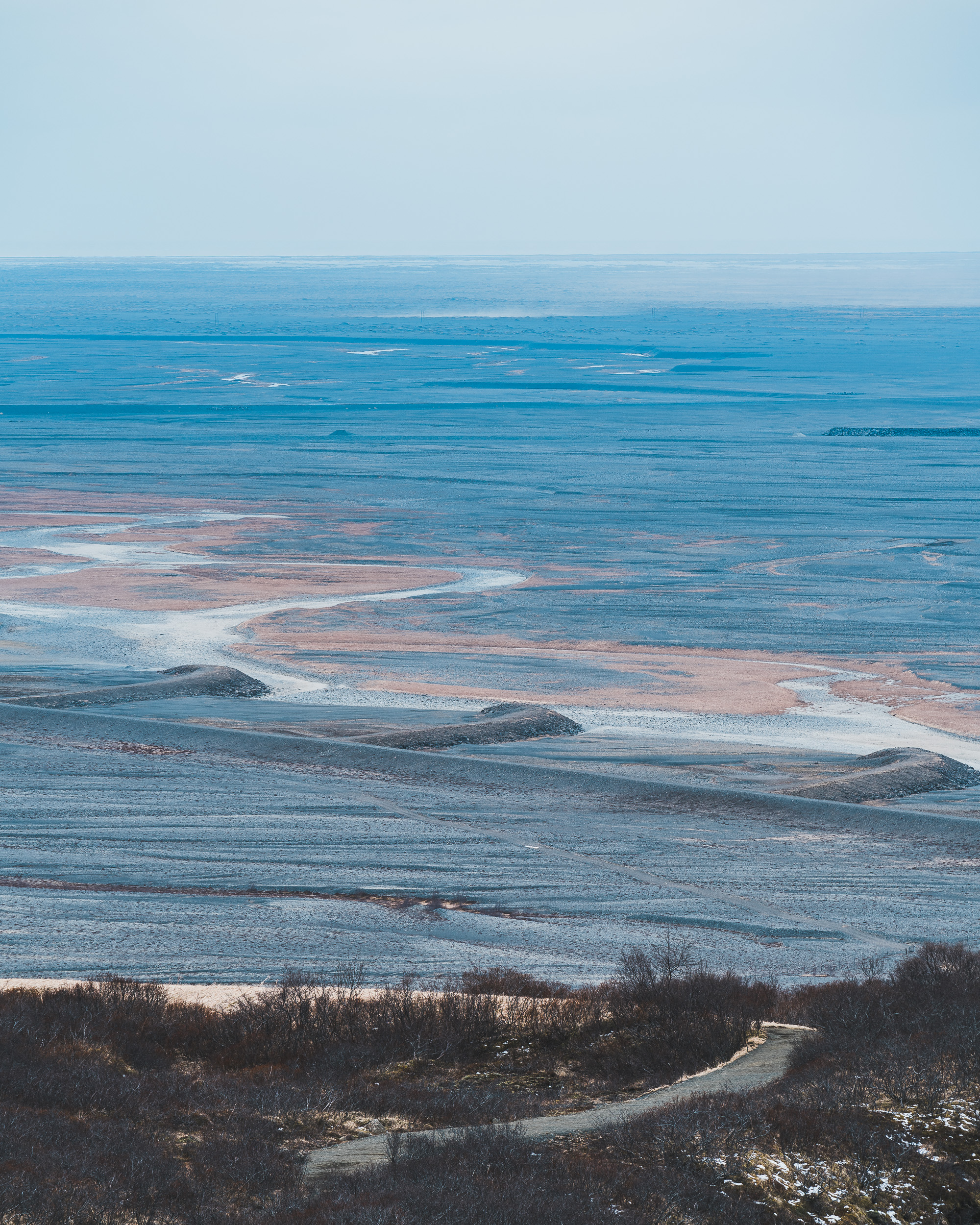
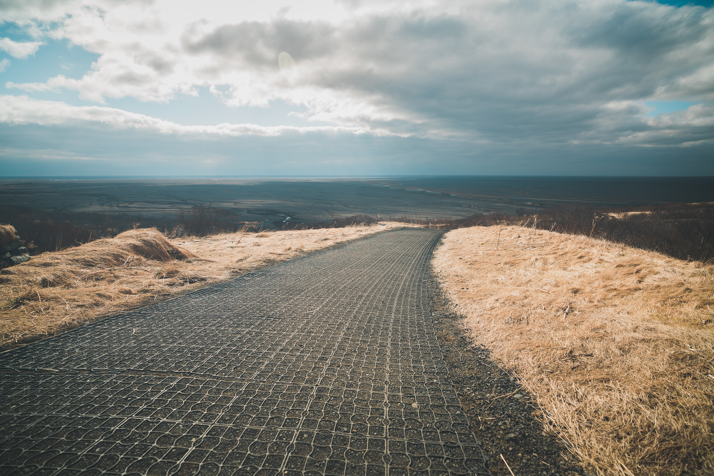
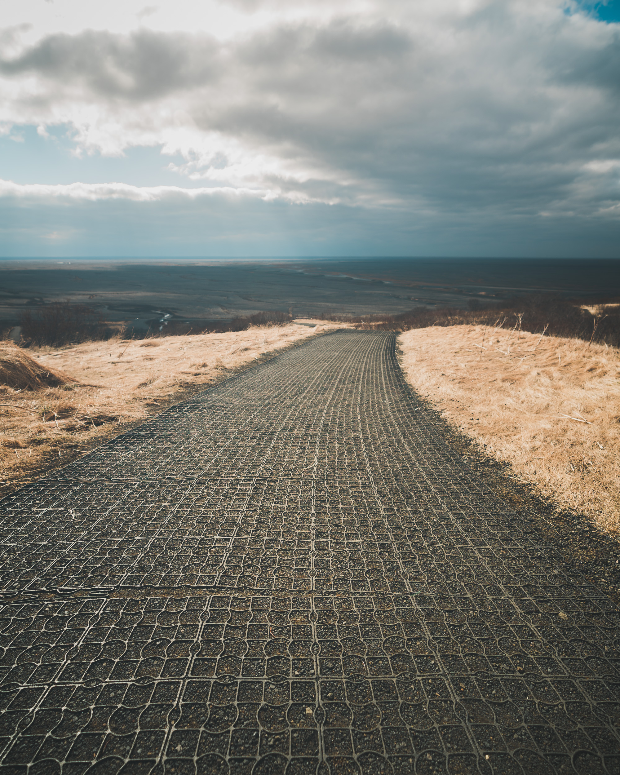
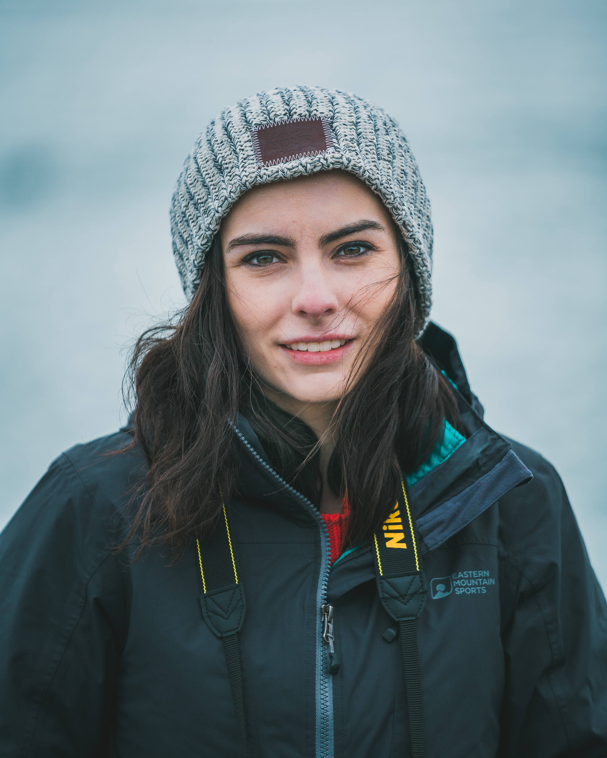
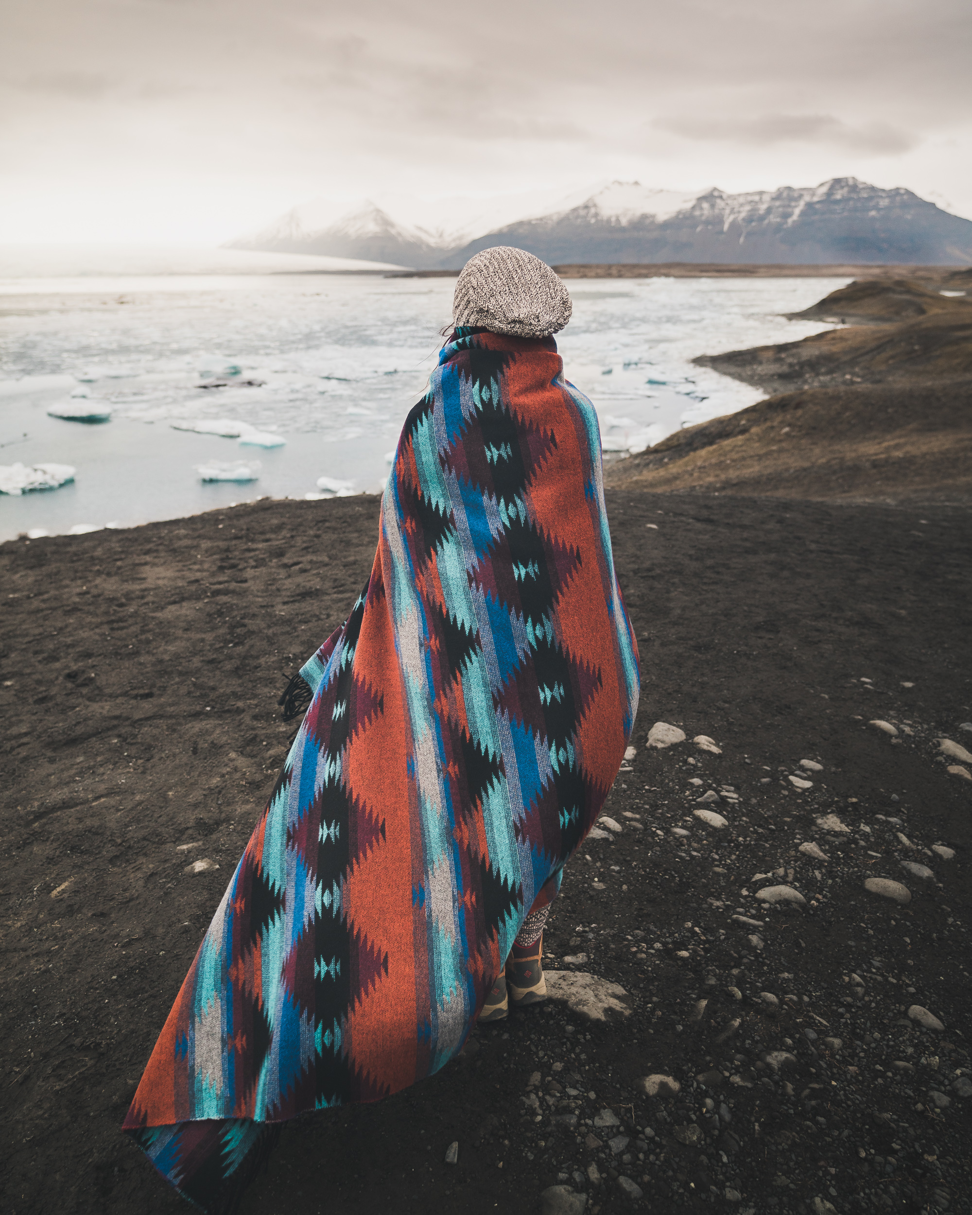
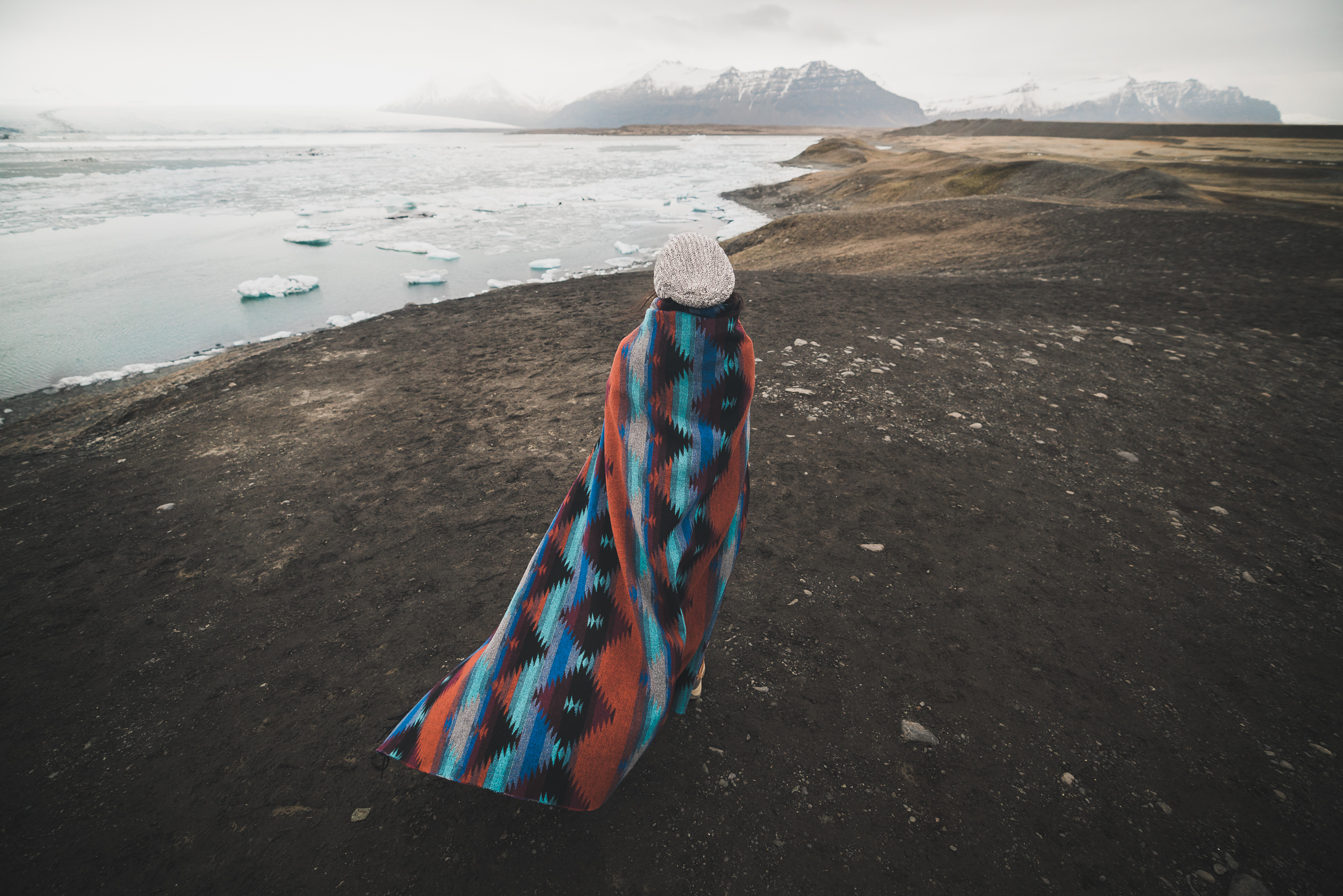
We were up at 6AM for one of the longer driving days of the trip. We were going from the southernmost point of the island eastward and inward. Our first stop was Dyrhólaey, a peninsula with striking black sand beaches and a natural land bridge. It was one of the windiest spots we went to (see Ava's hair below). We wanted to make it to a lighthouse vantage point higher up on the peninsula, but after our hike to the plane the night before we decided good enough was good enough.
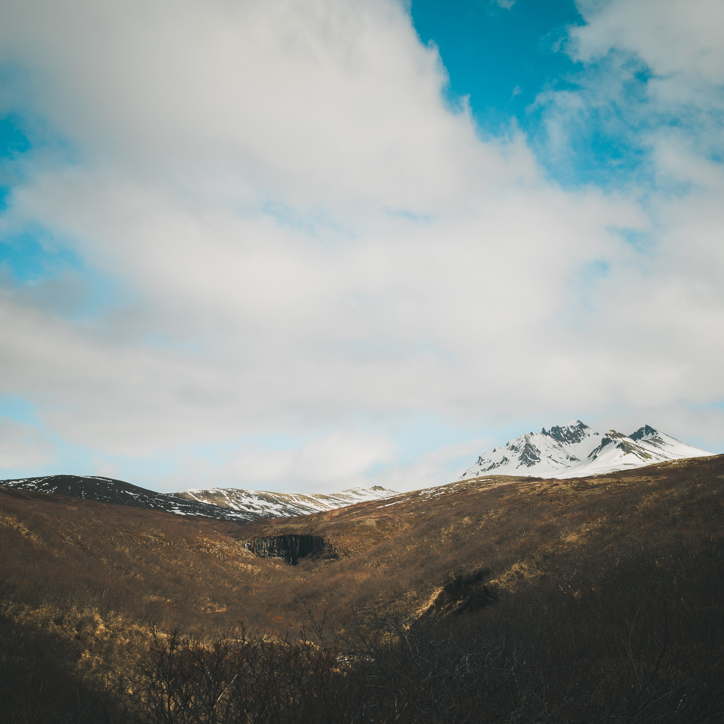
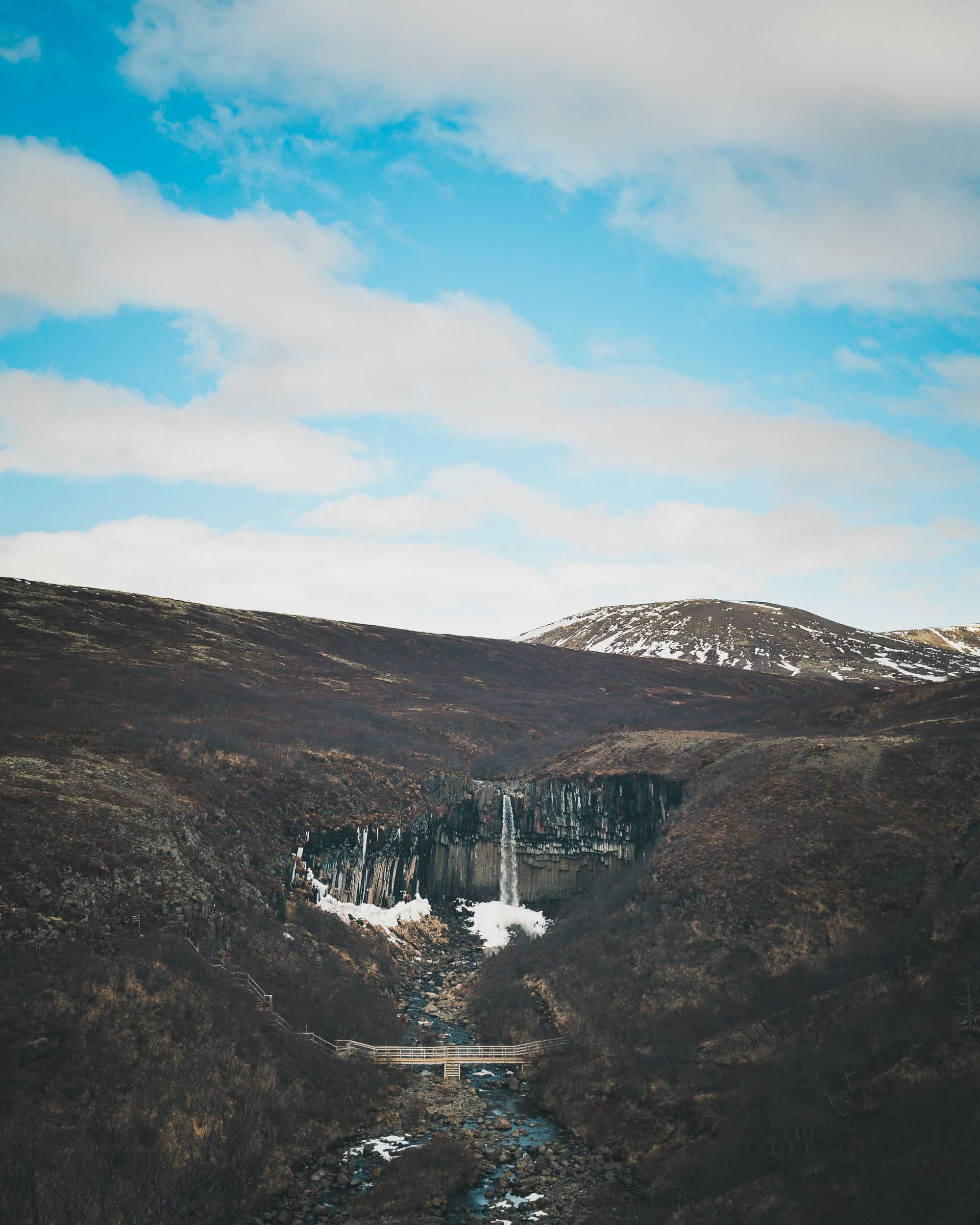
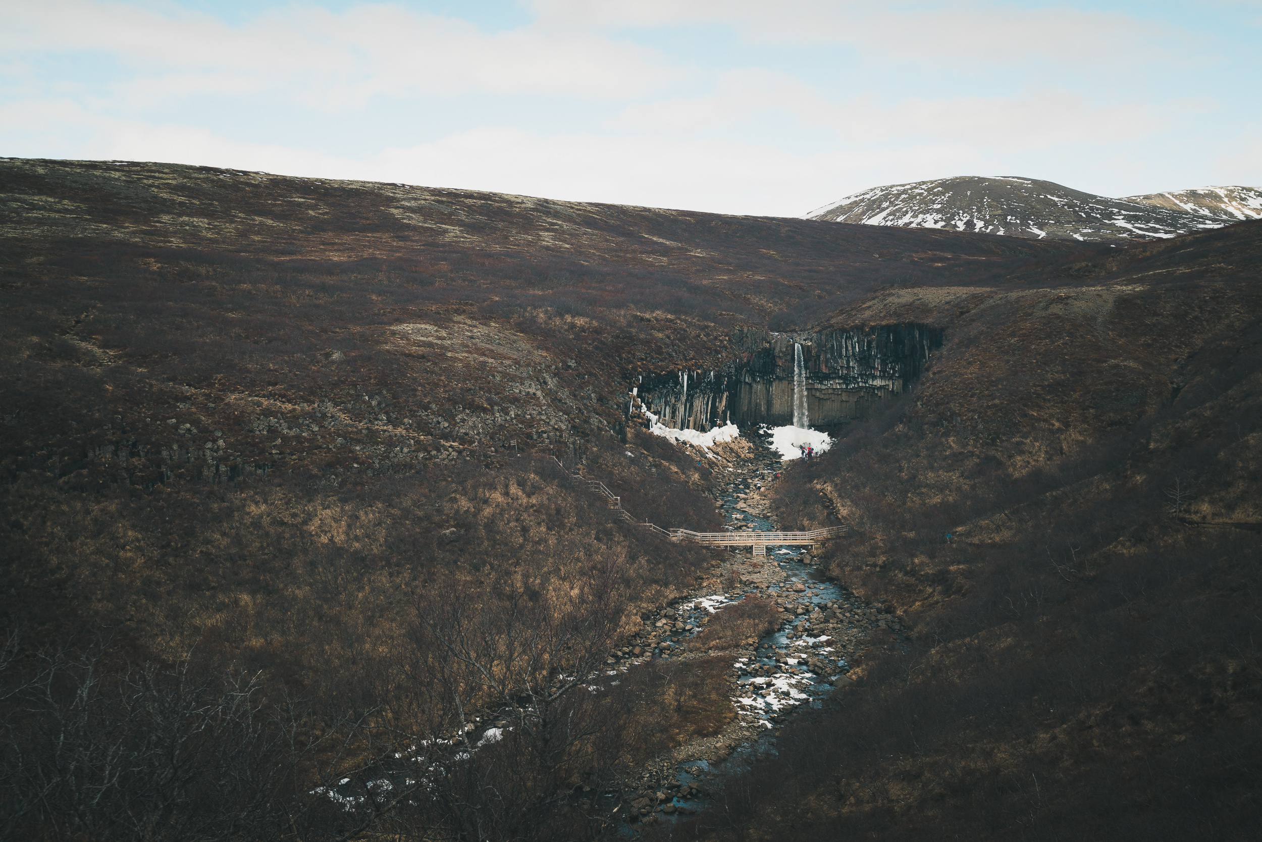
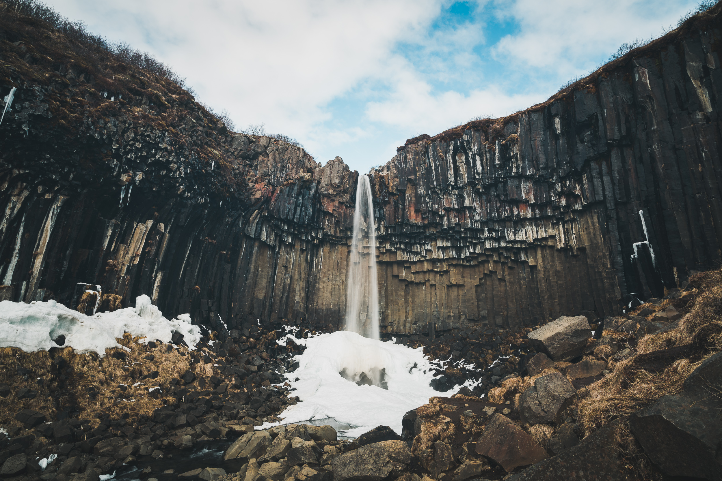
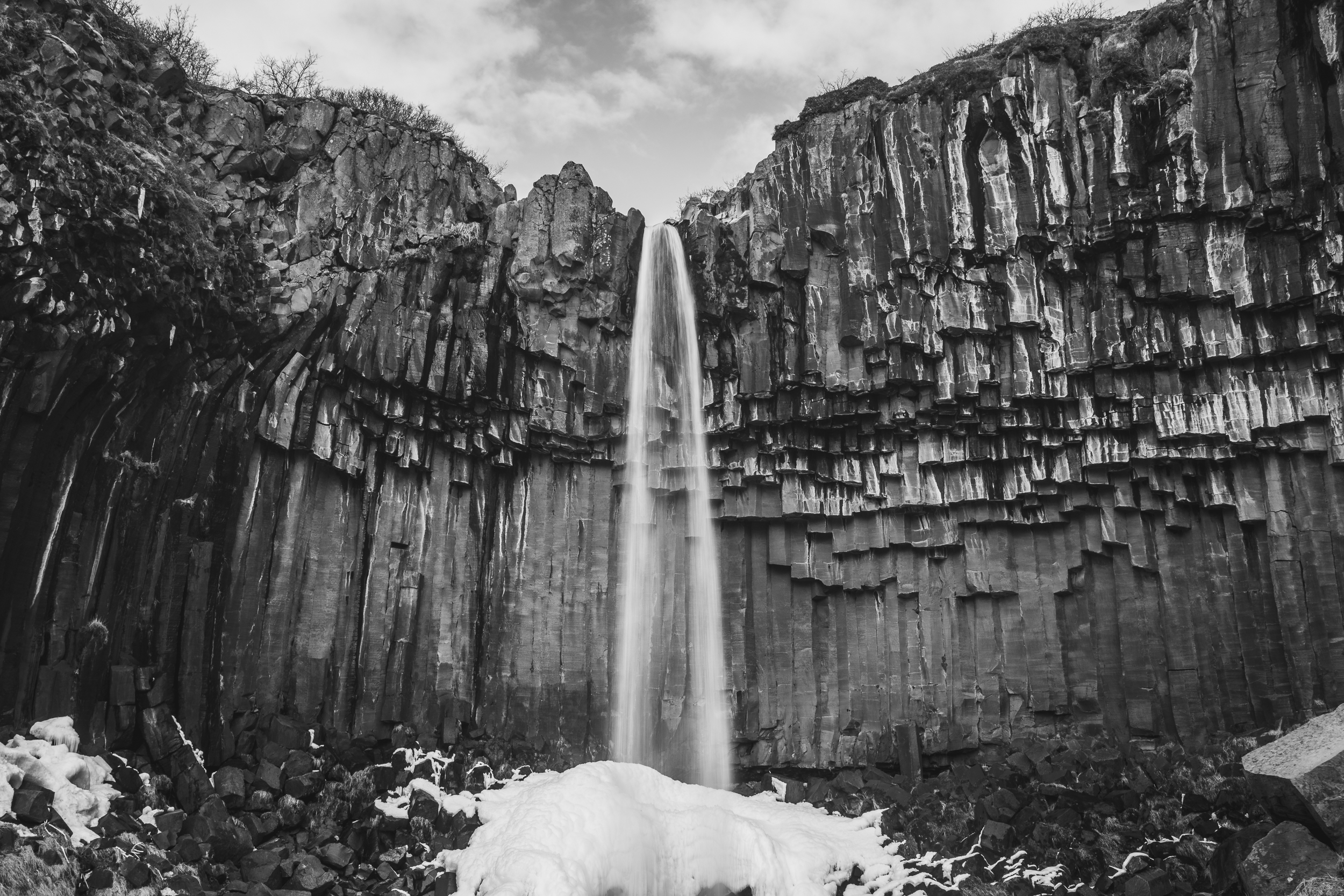
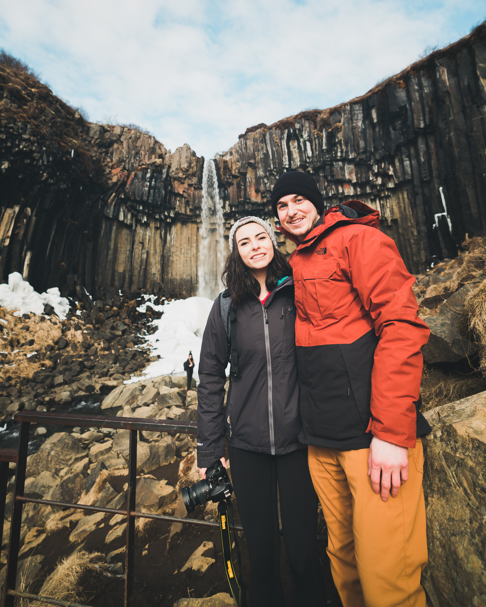
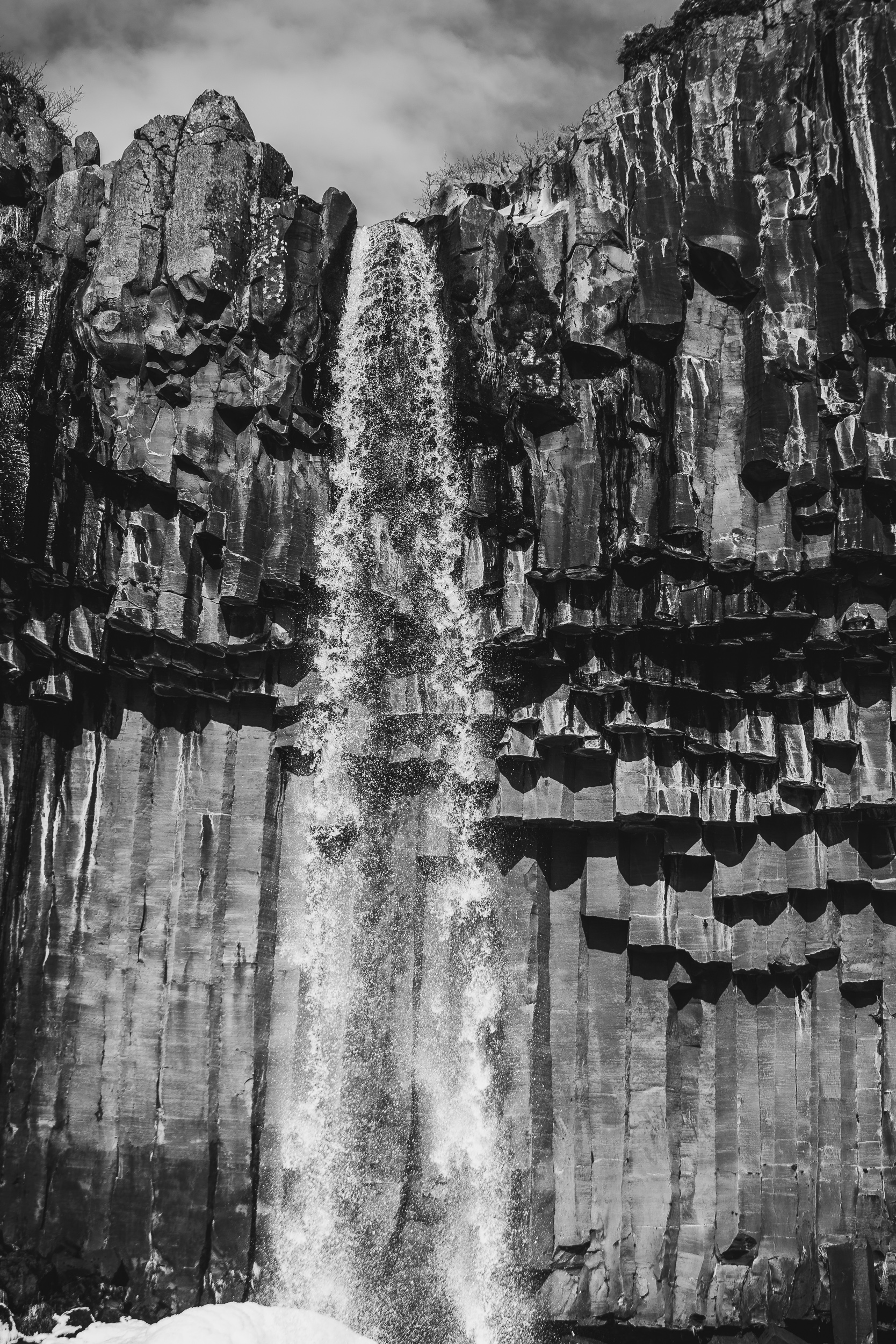
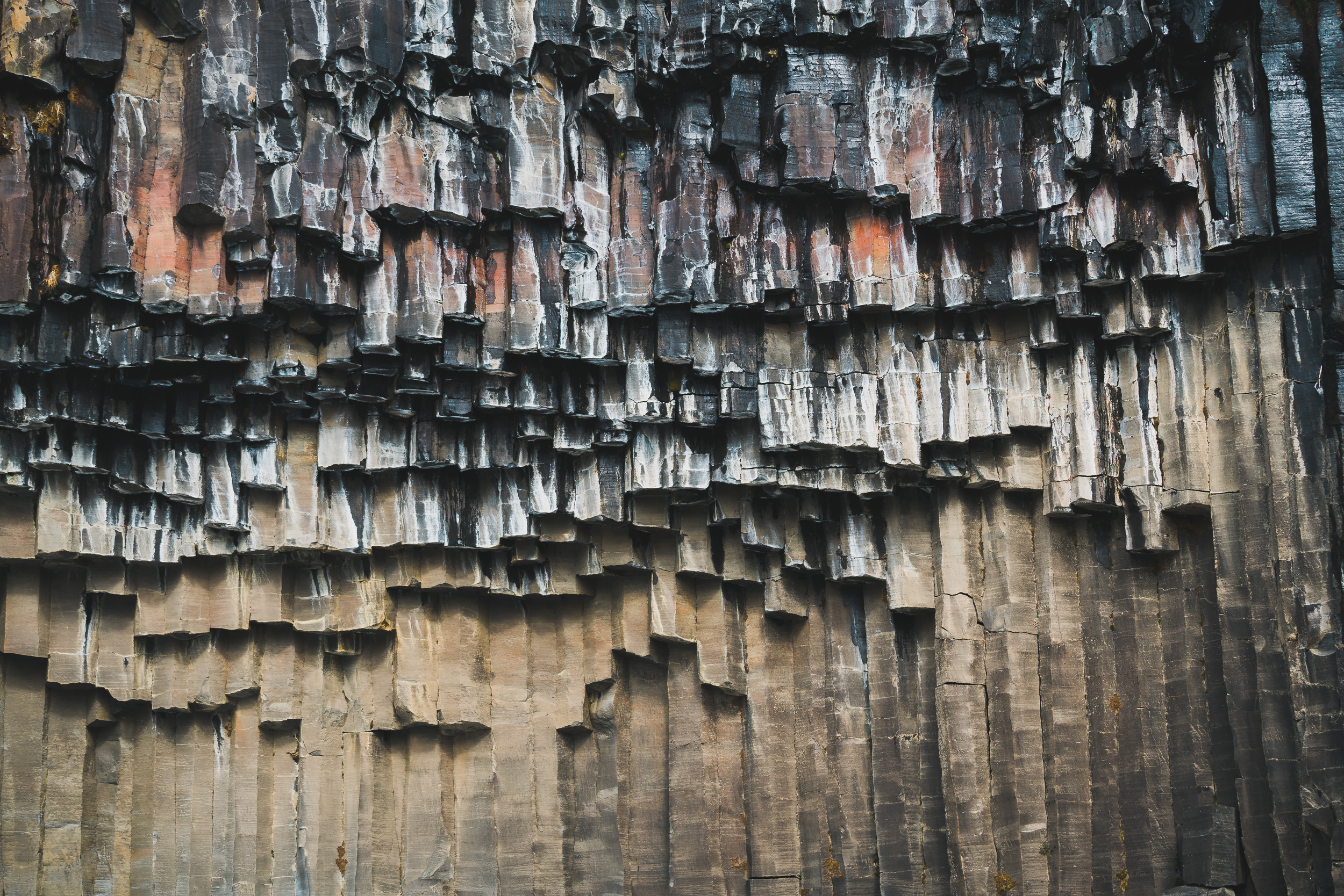
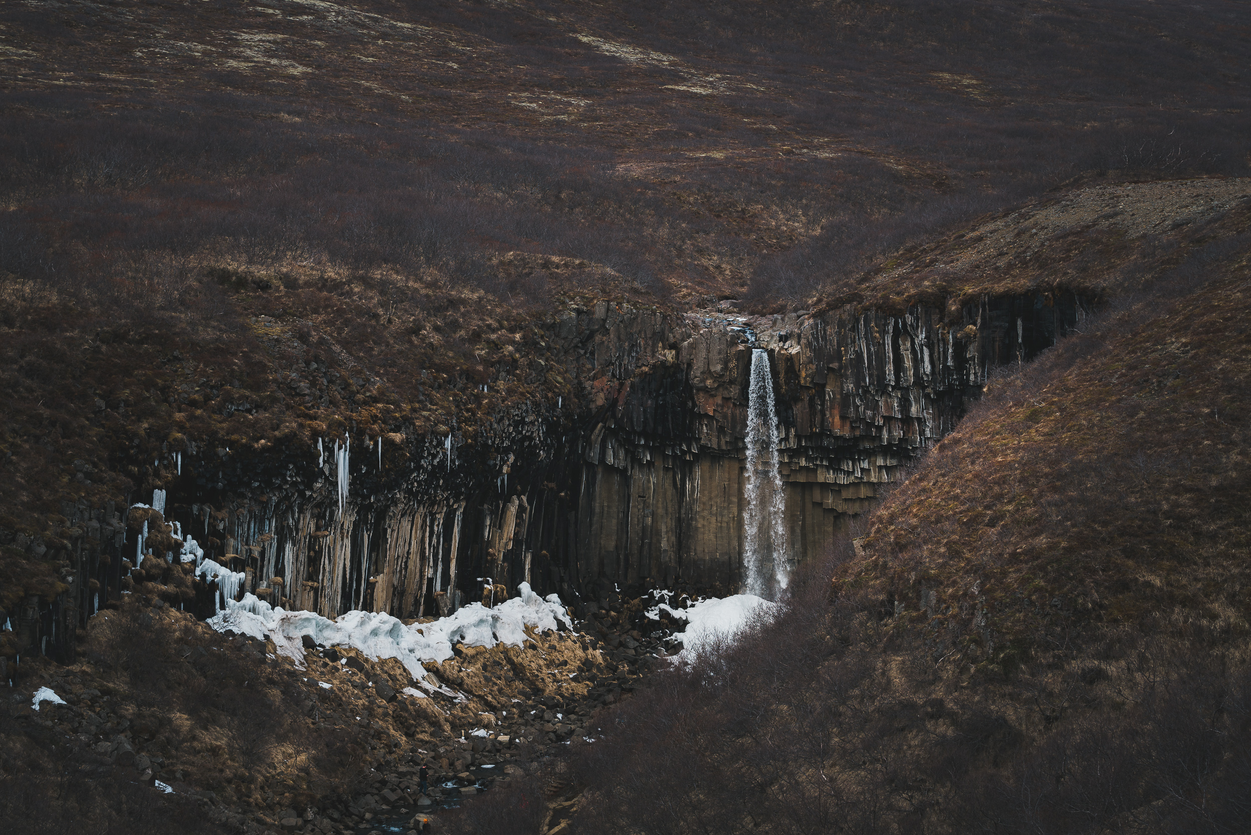
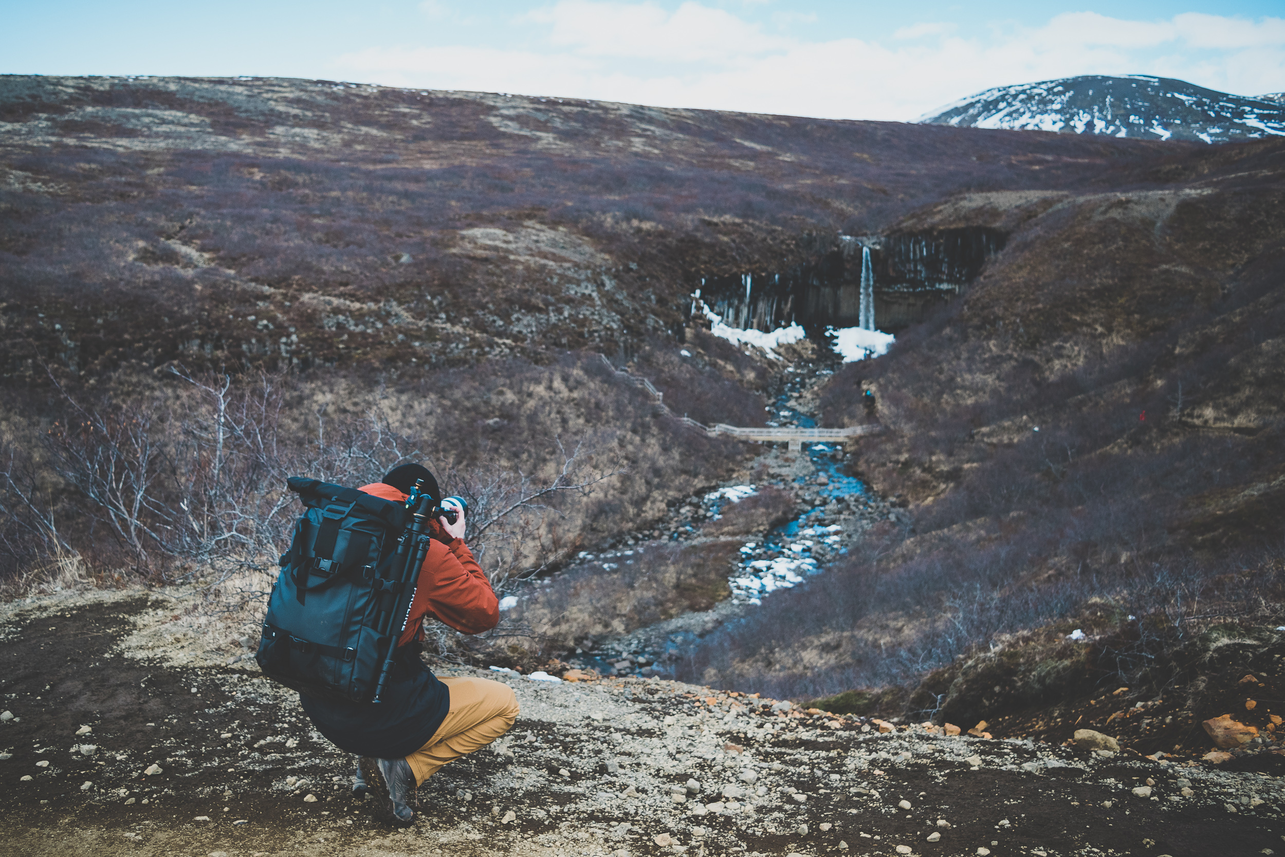
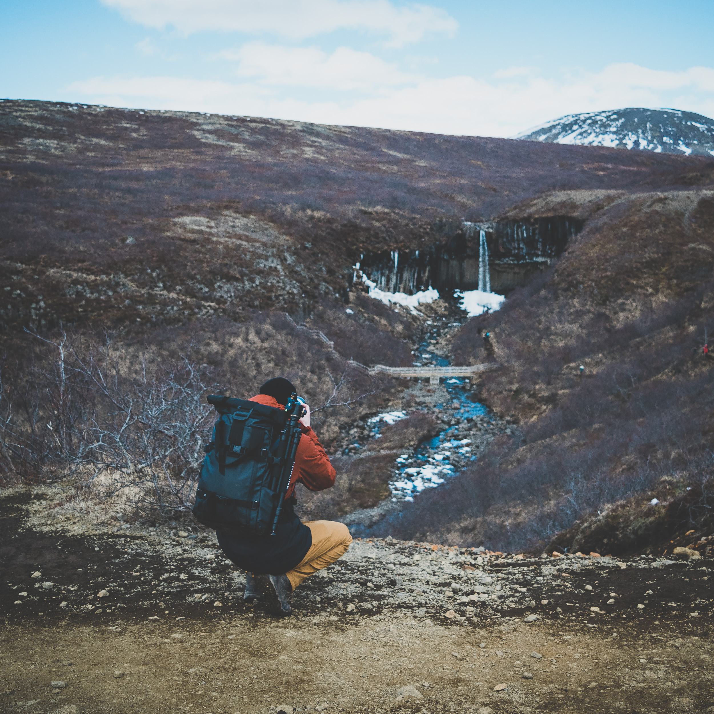
We arrived at Svartifoss a little before lunchtime. We discovered it would be another hike, but were pleasantly surprised by the spectacular weather (we ended up taking our jackets off) and the scenery (that looked more like the Swiss Alps than Iceland). Svartifoss is usually the moodiest Icelandic waterfall on Instagram, and its trademark is its rectangular black and gray basalt columns.
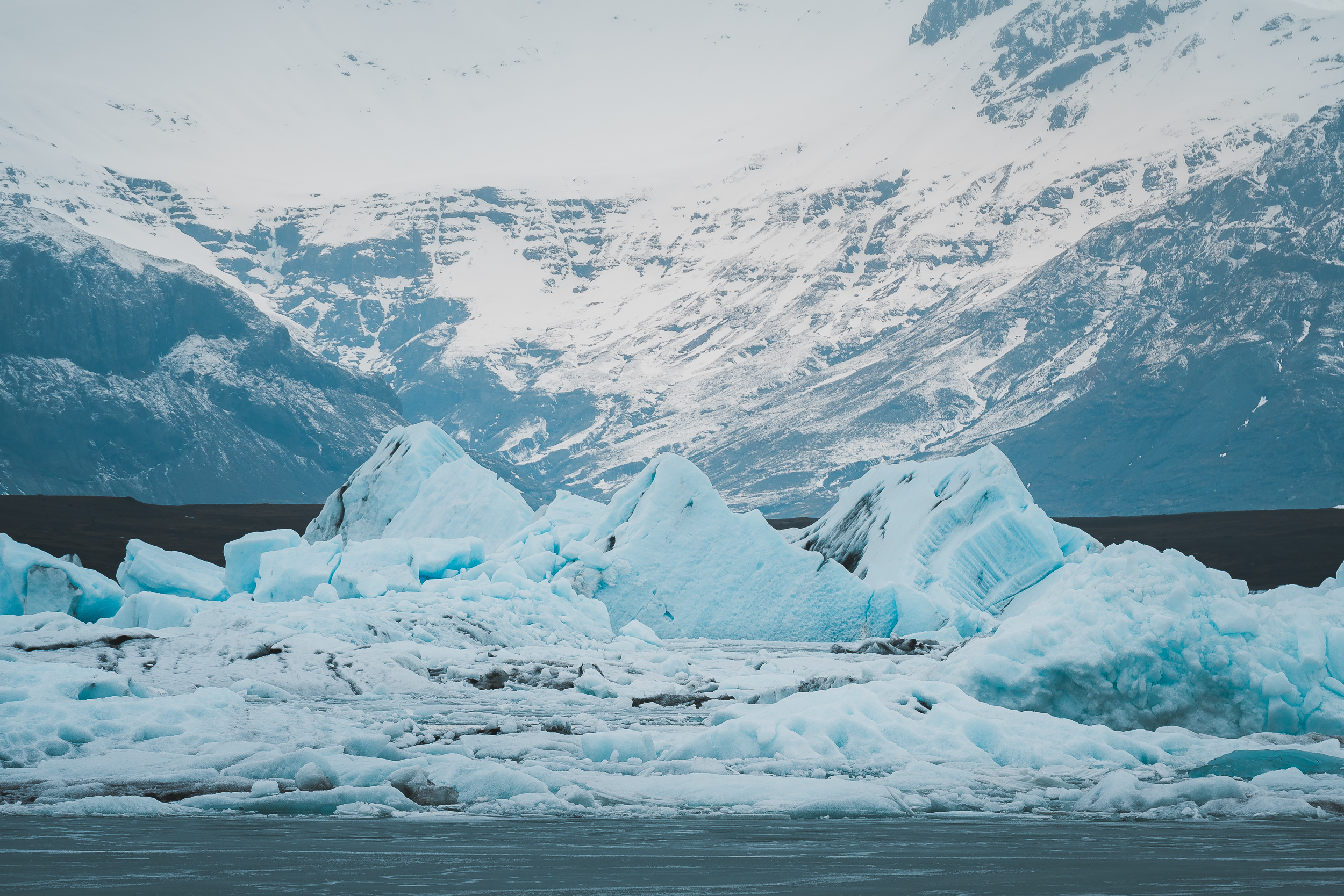
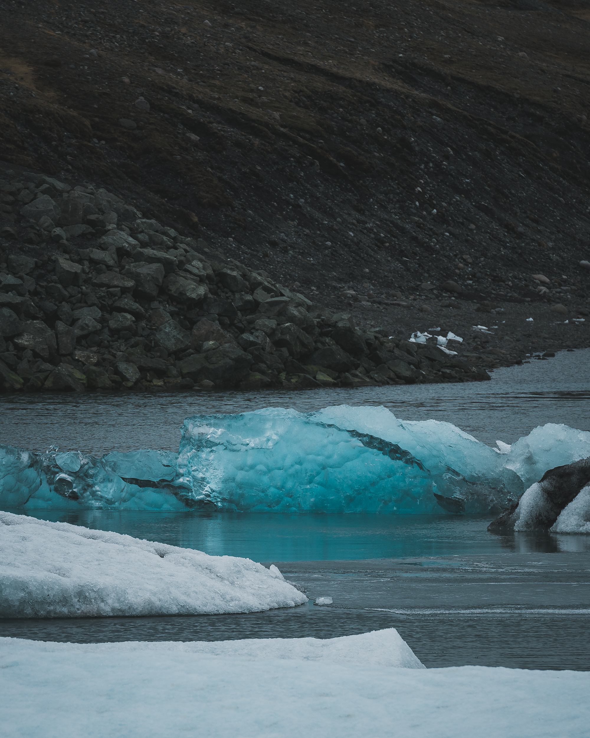
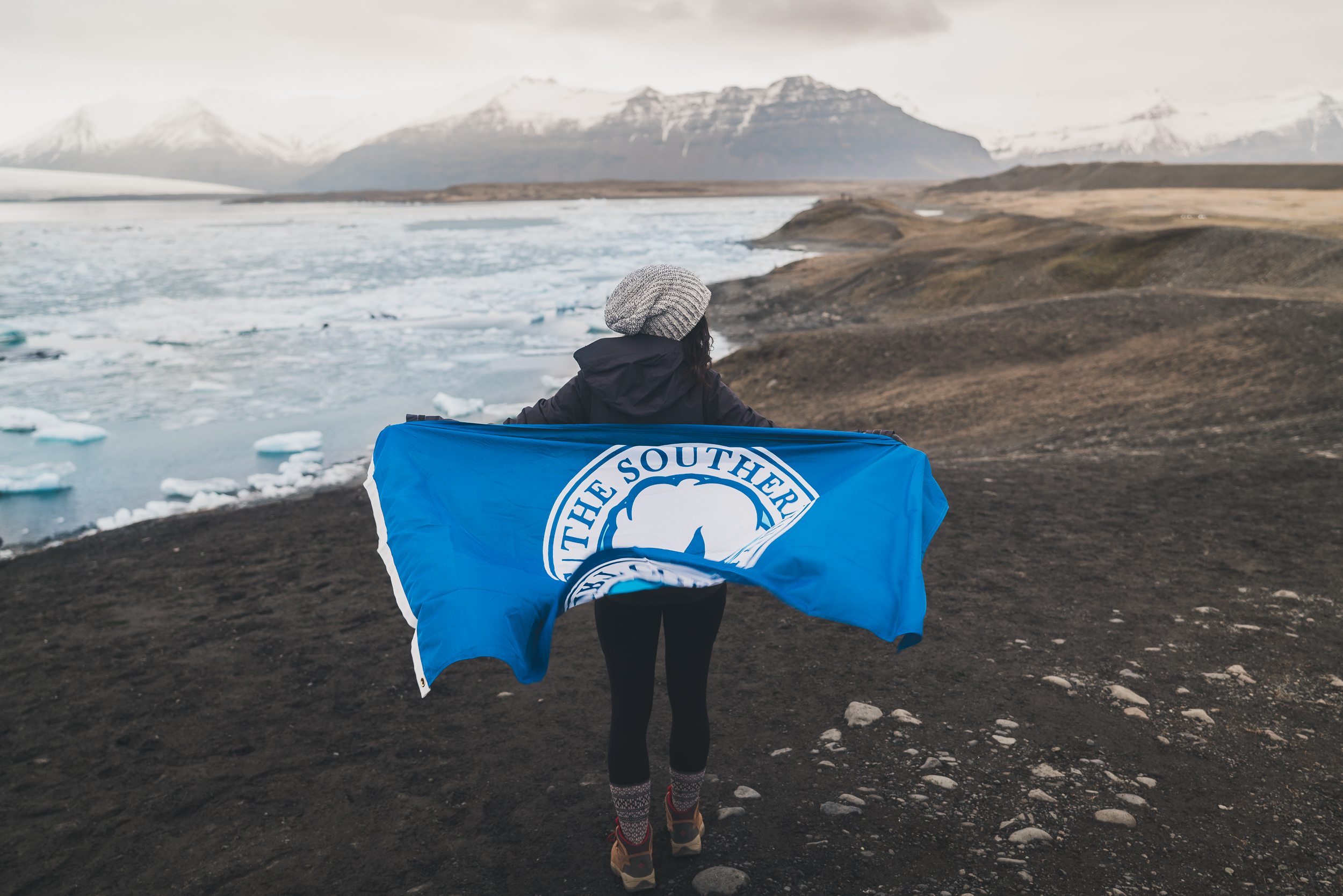
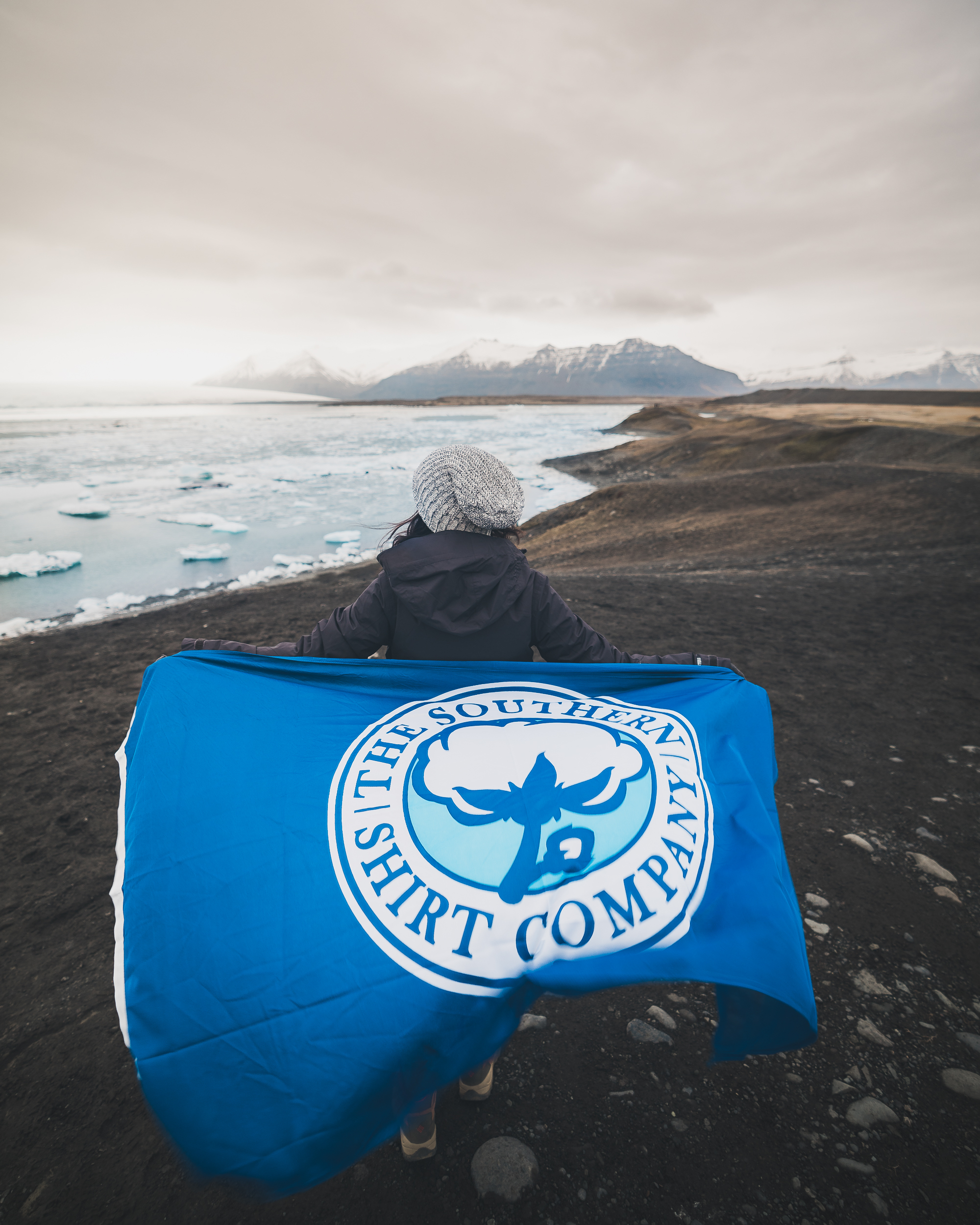
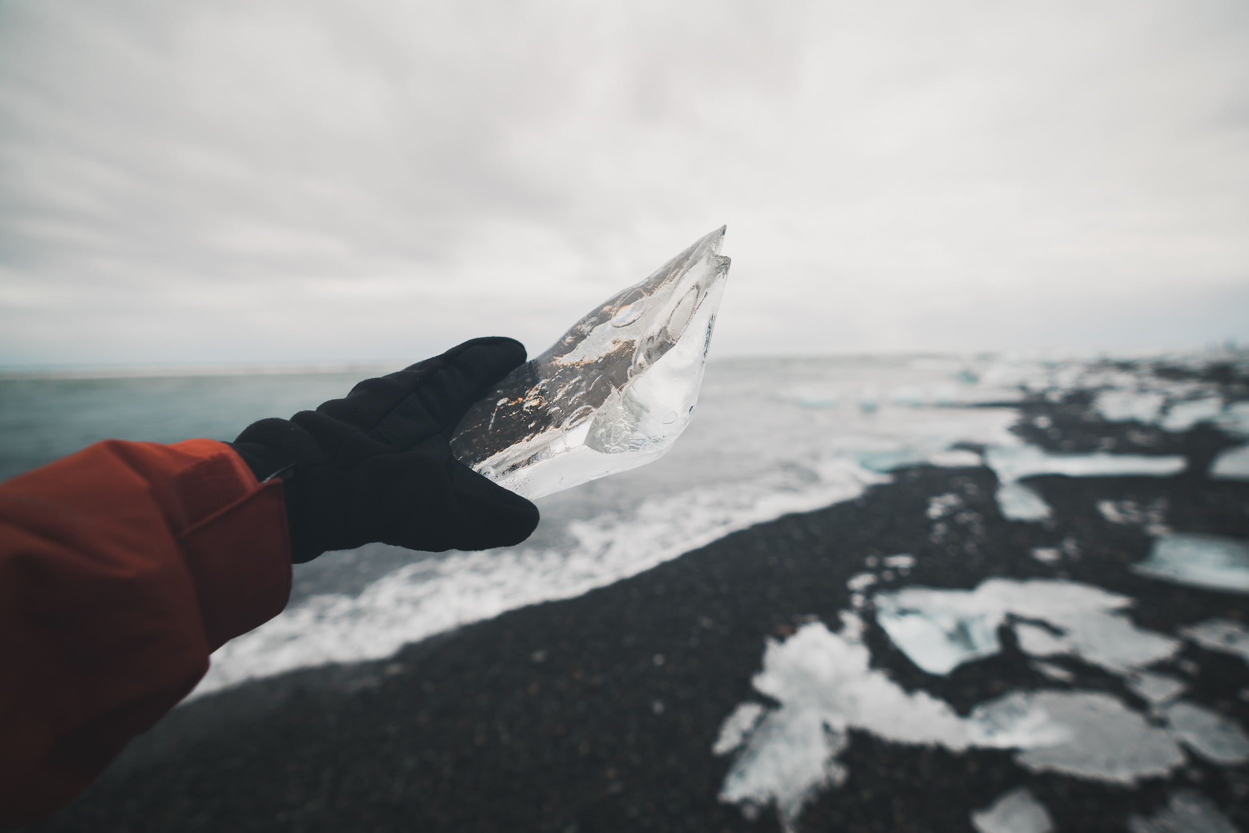
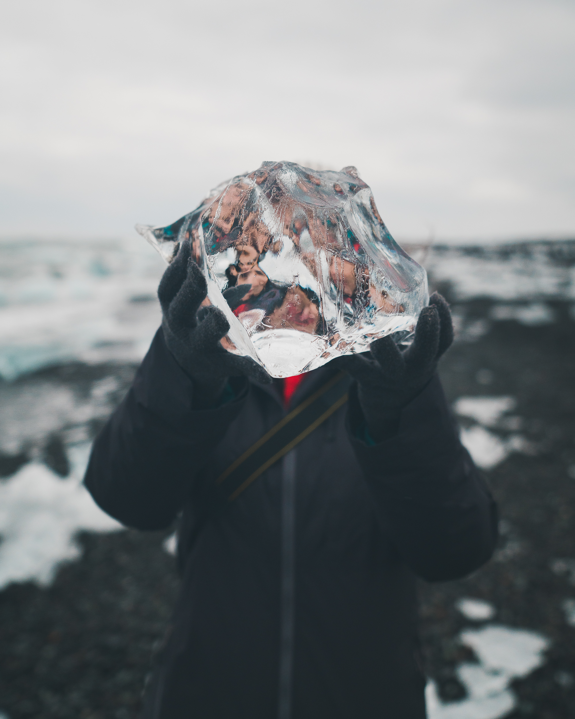
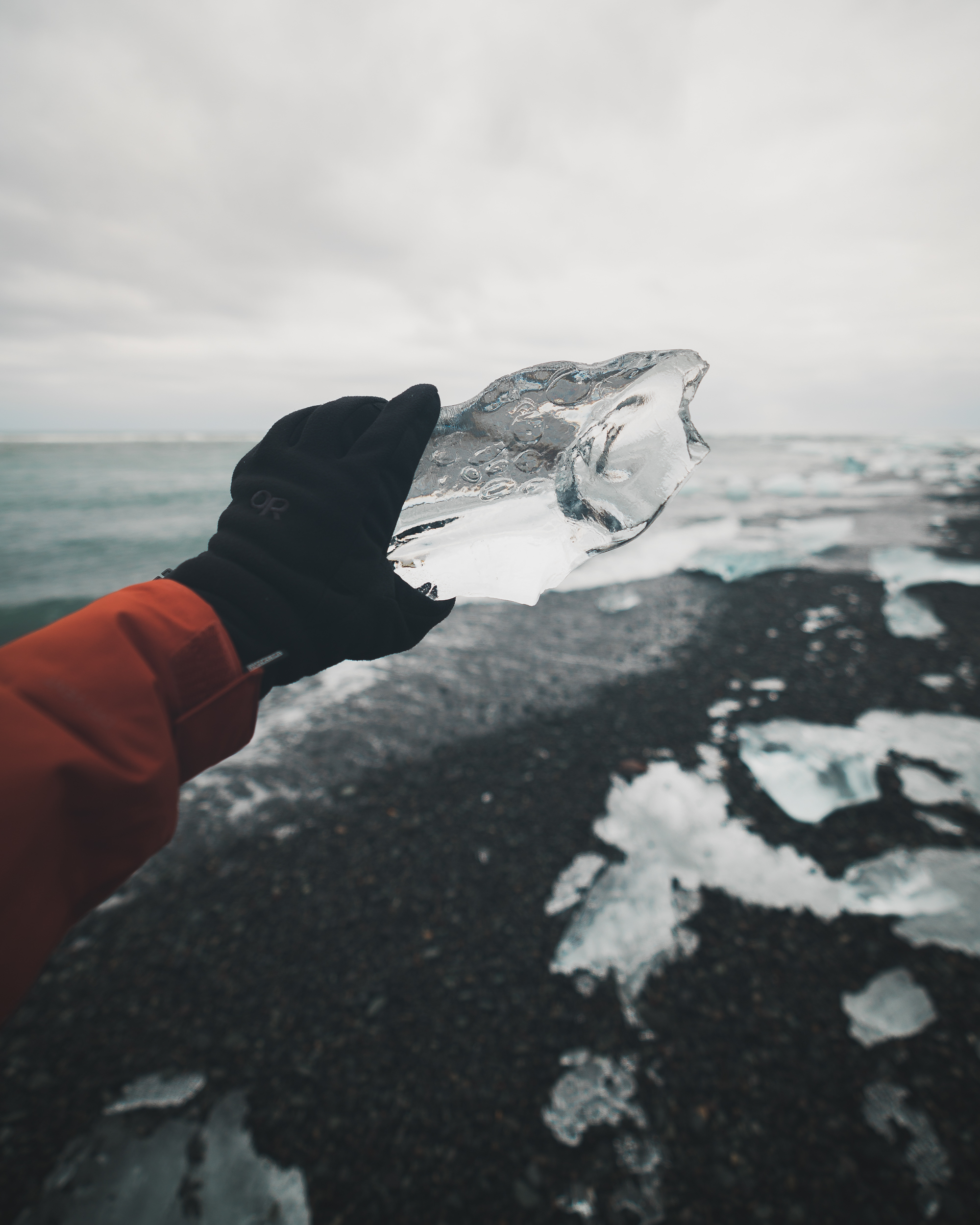
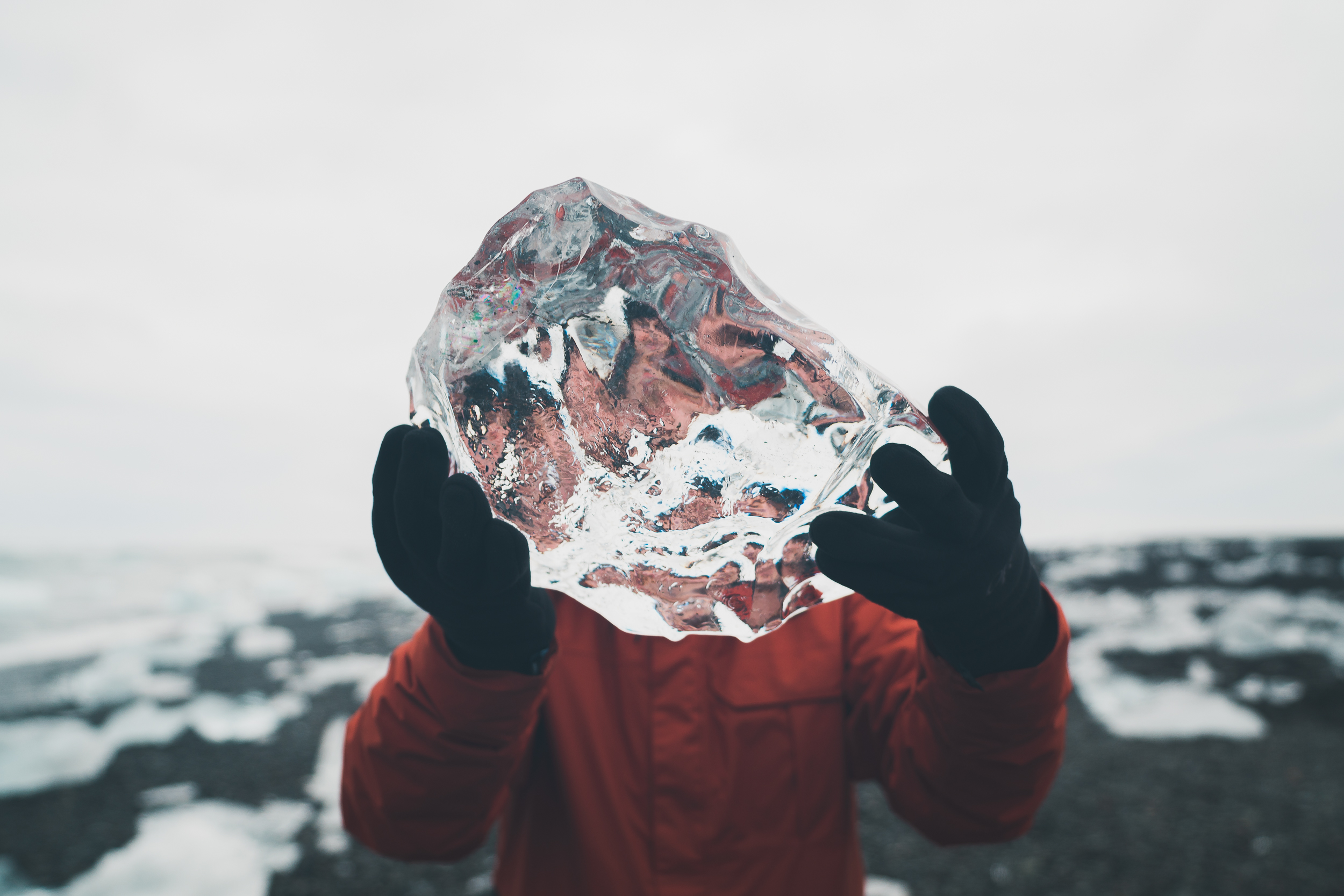
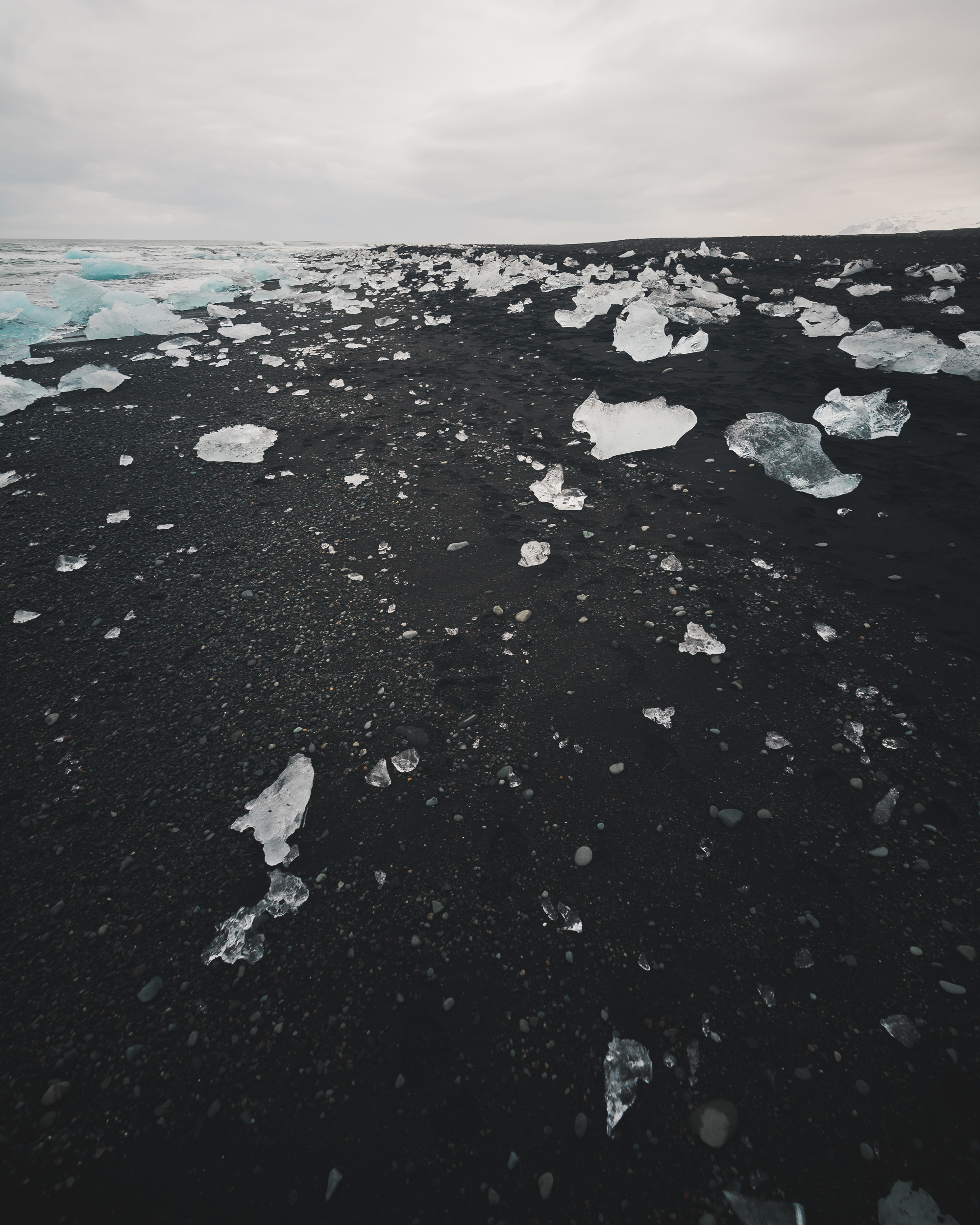
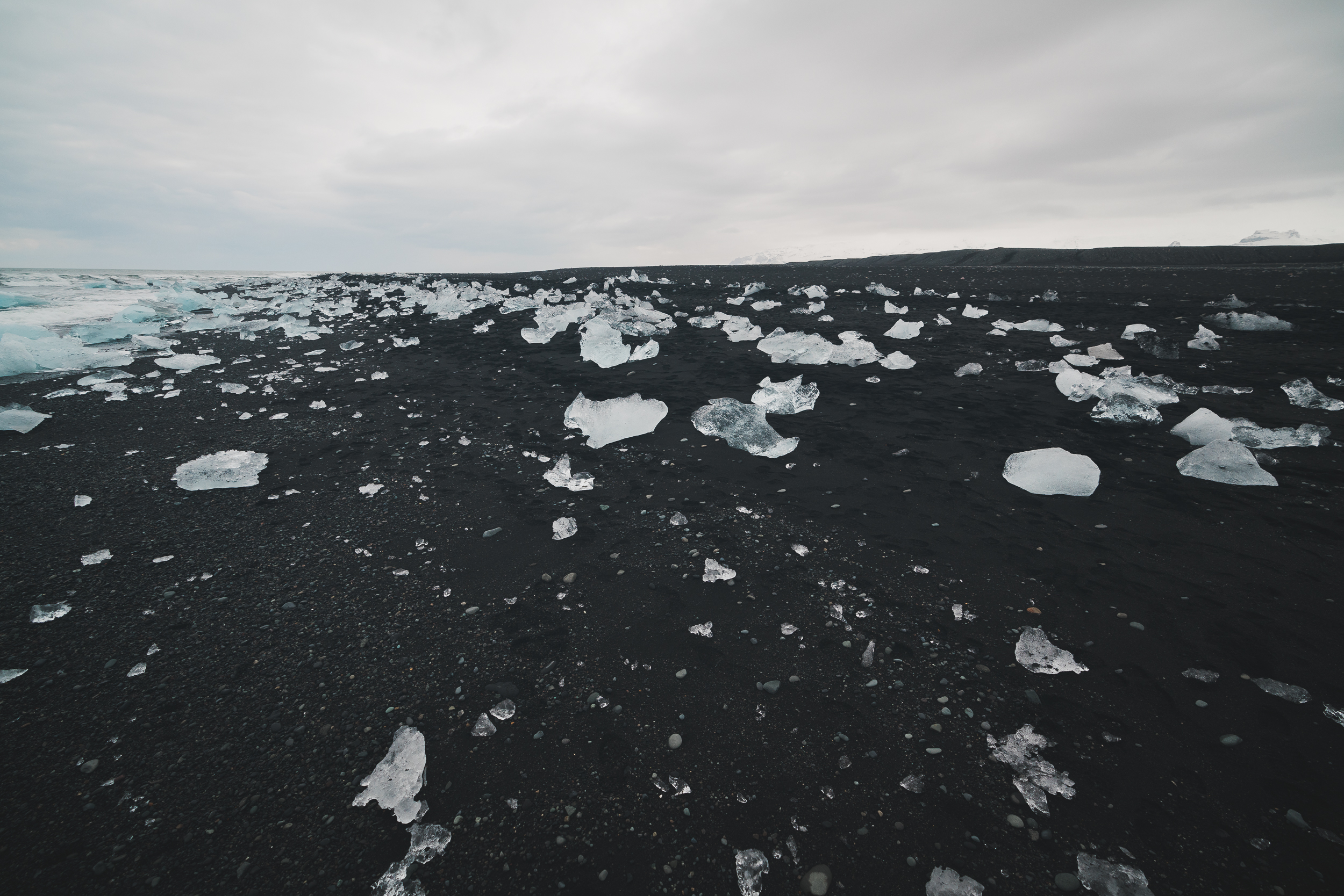
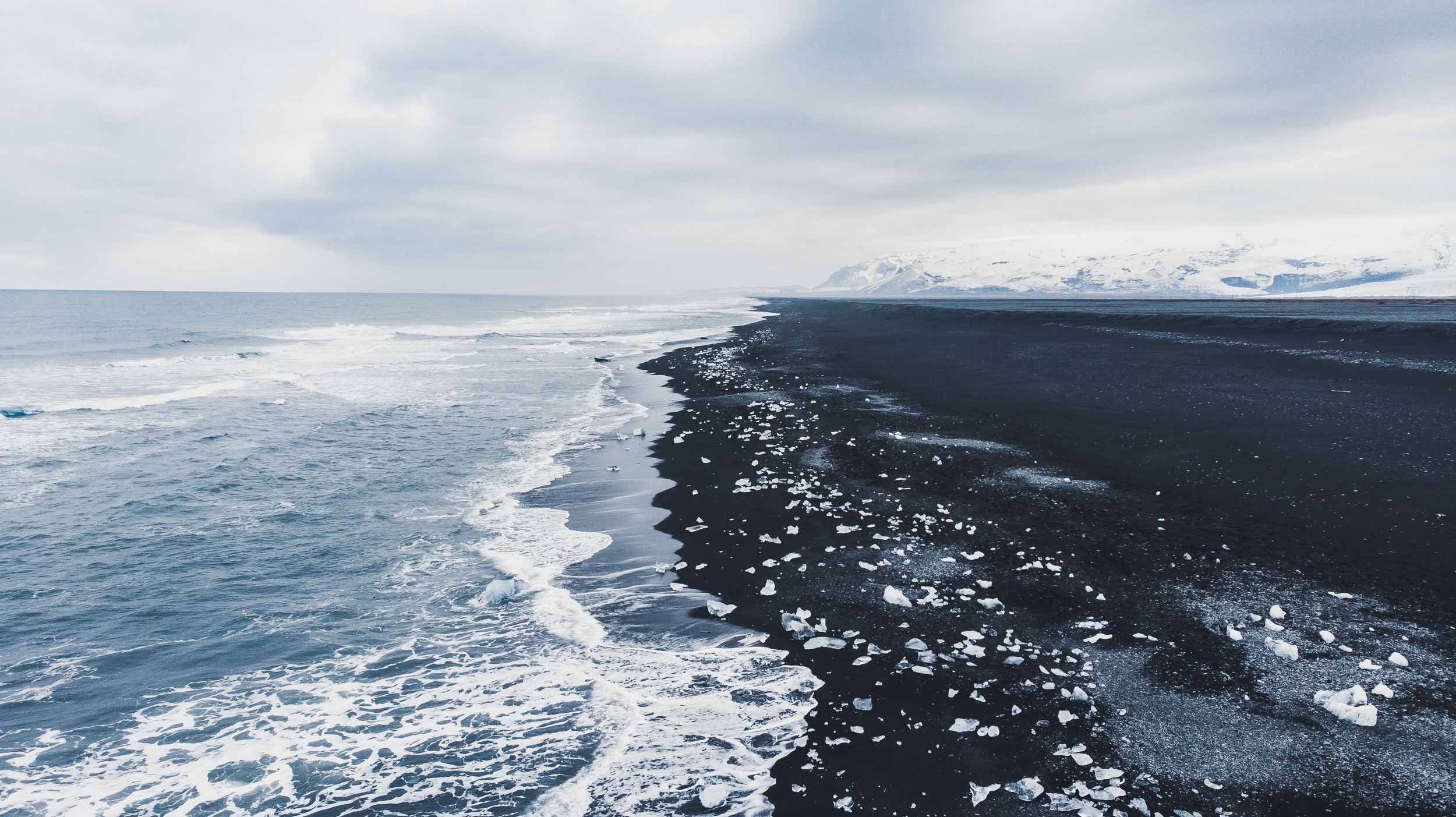
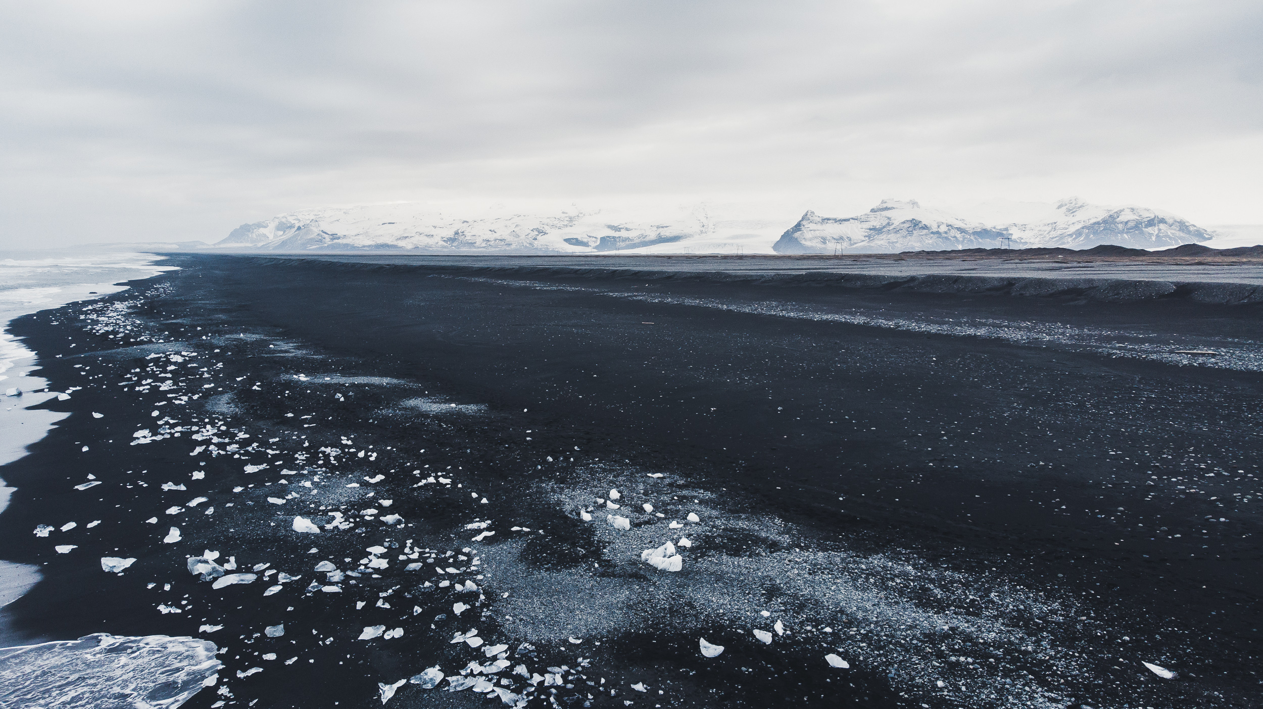
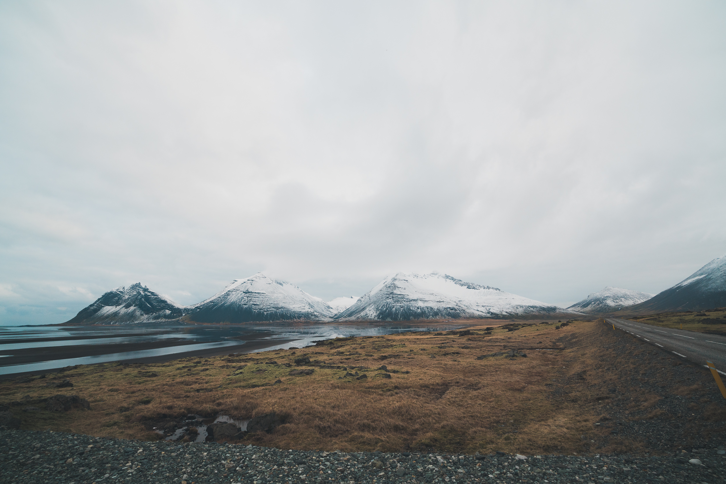
Svartifoss lies just within the massive Vatnajökull National Park. Vatnajökull is Europe's largest glacier outside of the arctic, and covers about 1/3 of the surface of Iceland. Included in its sphere of influence were our next two stops: Jökulsárlón, a glacier lagoon, and Diamond Beach, a black sand glacier beach.
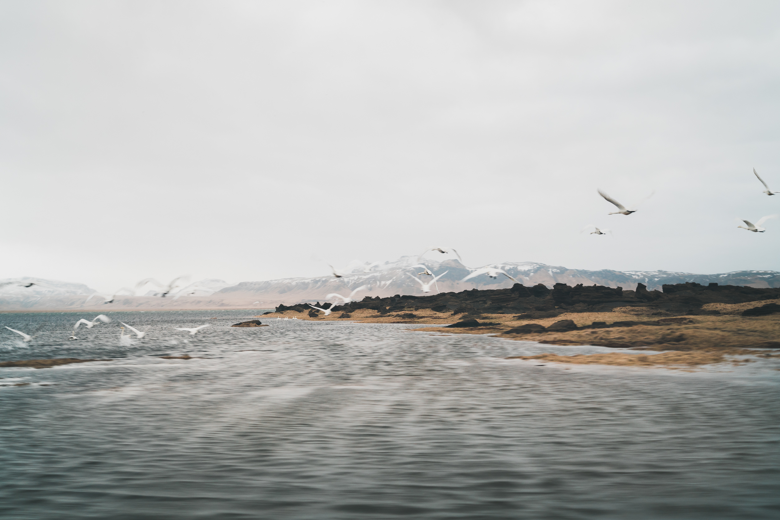
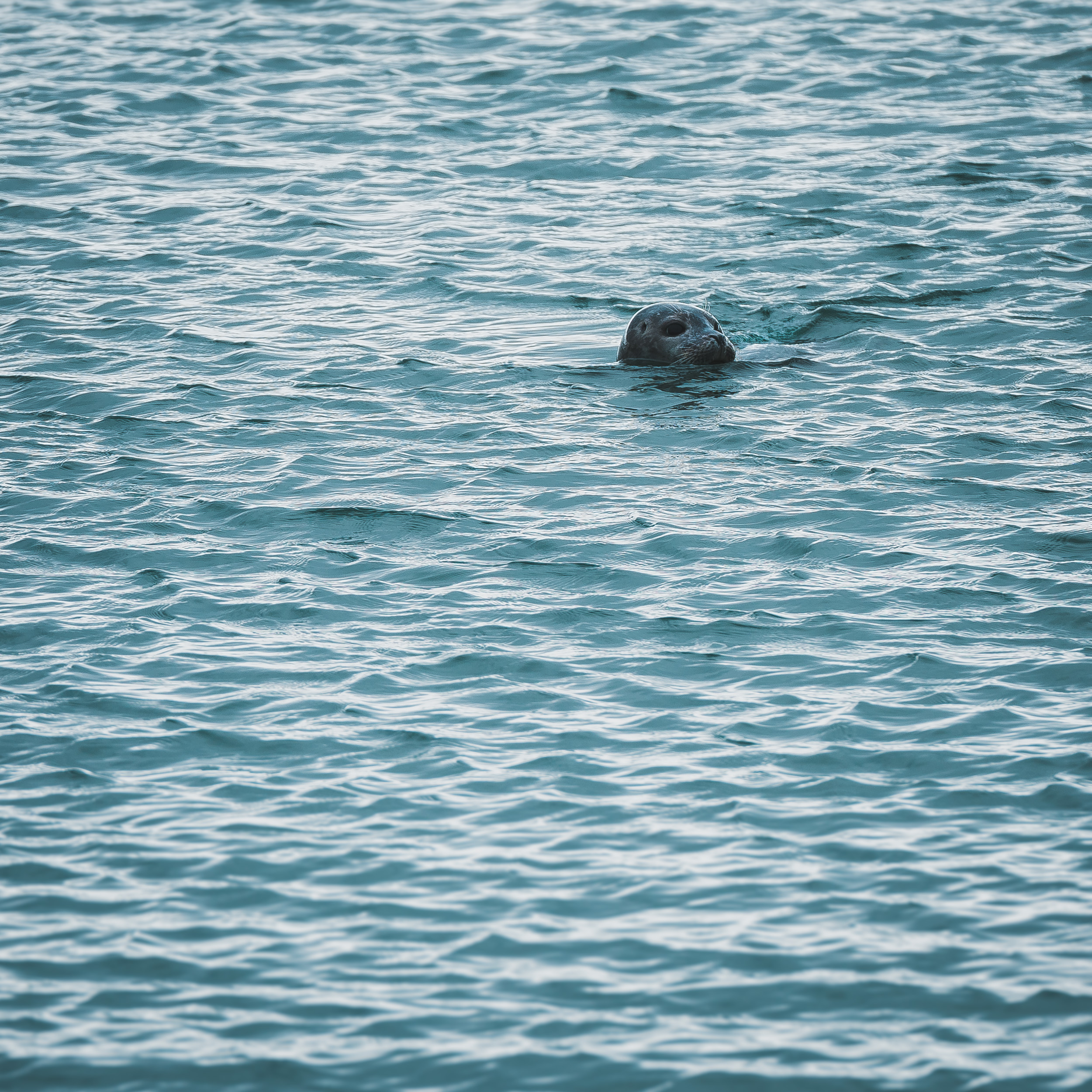
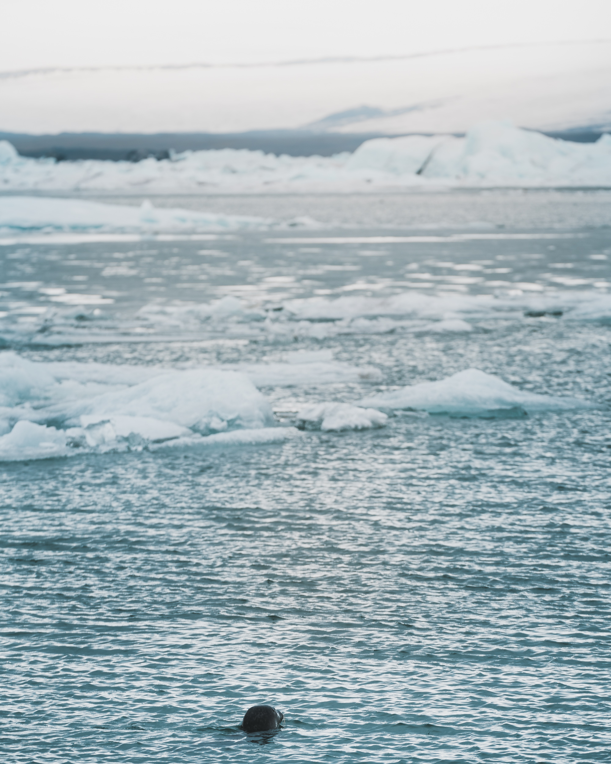
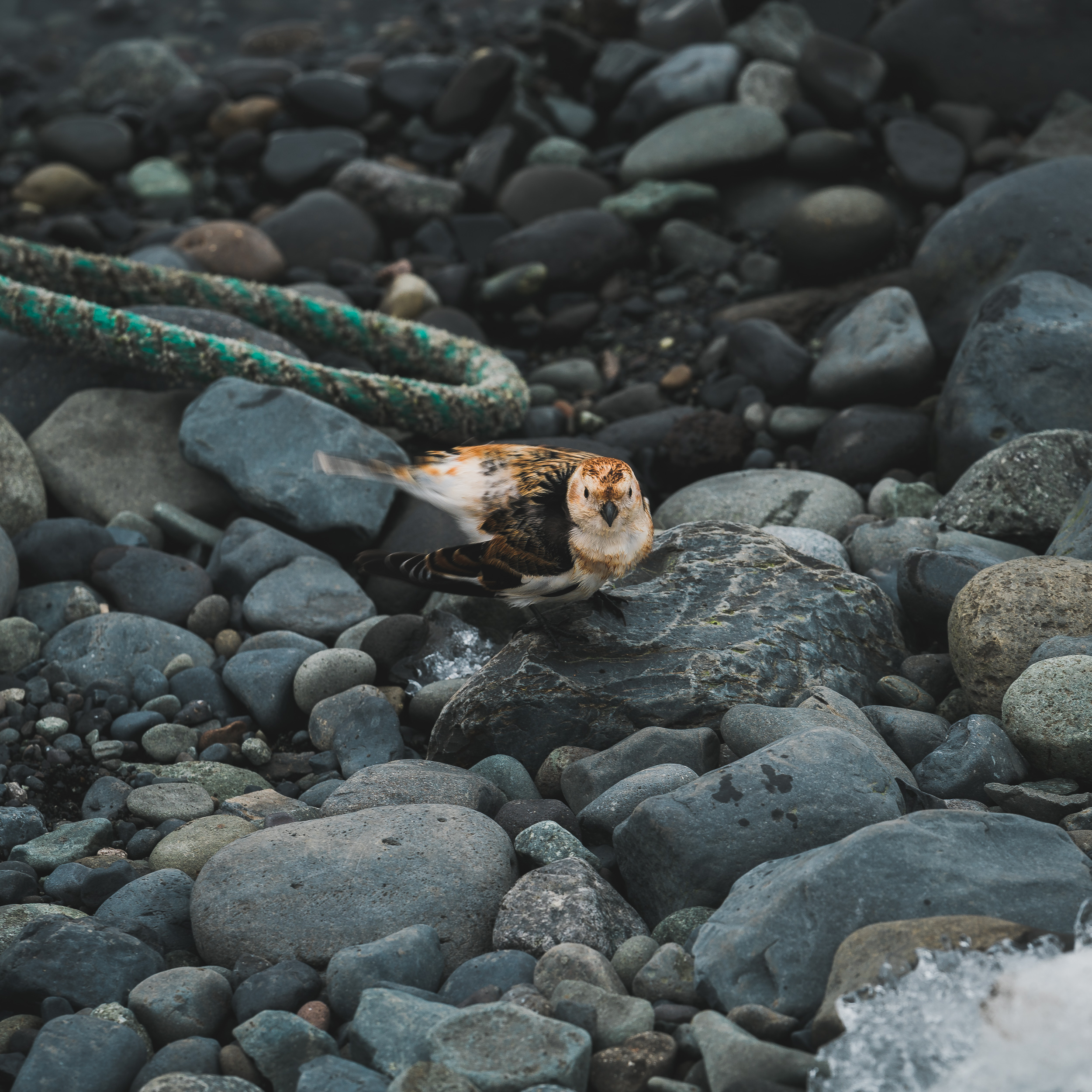
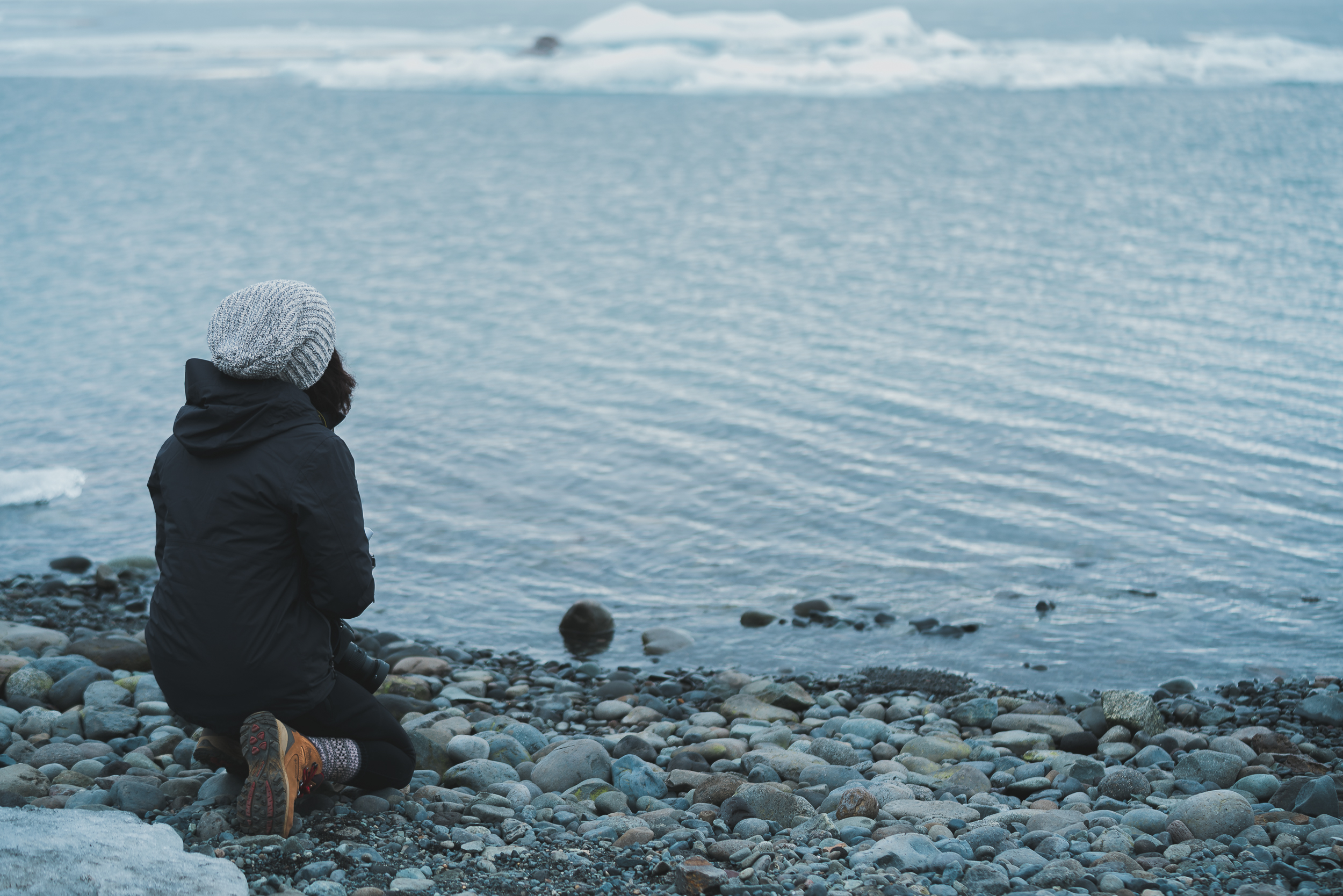
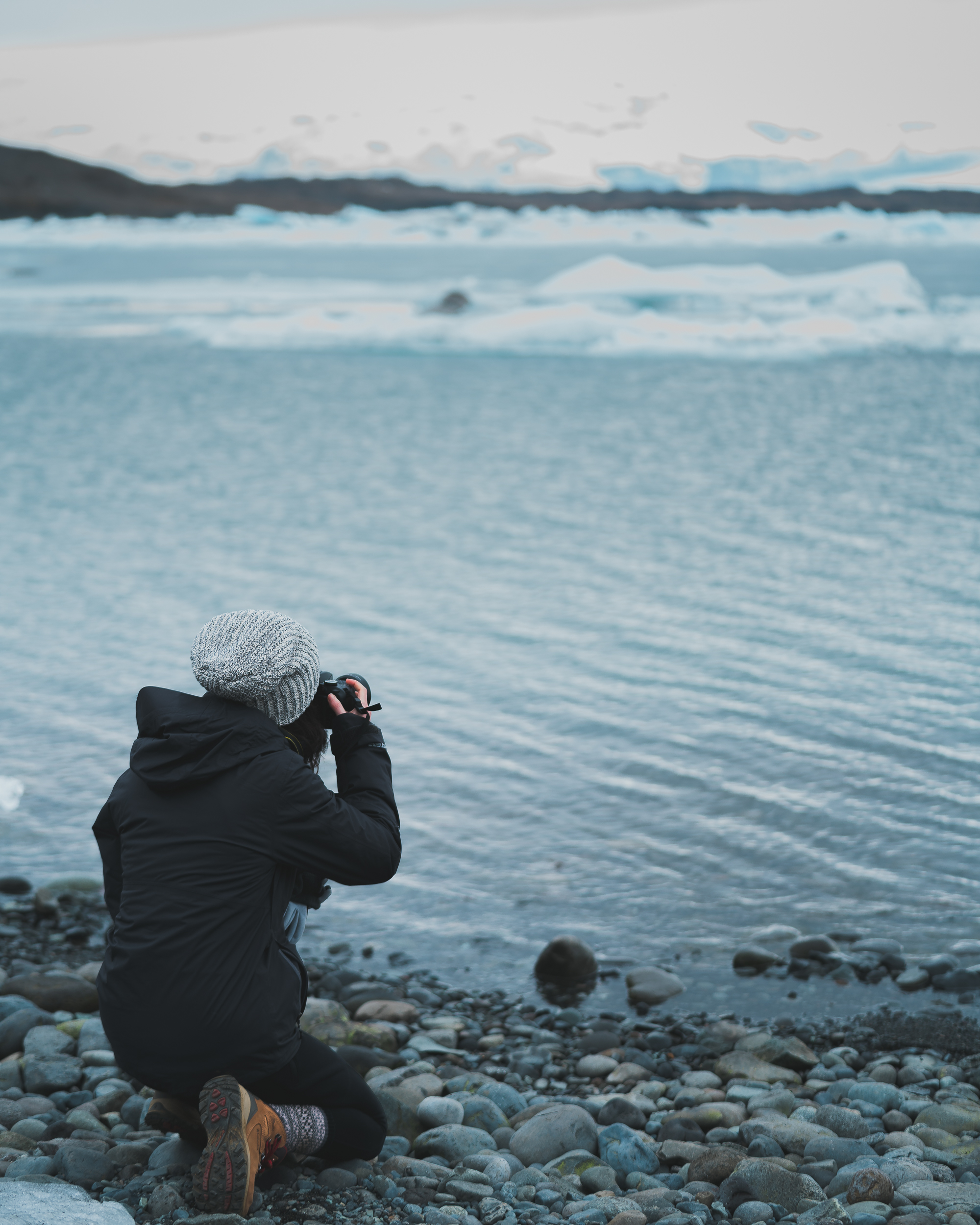
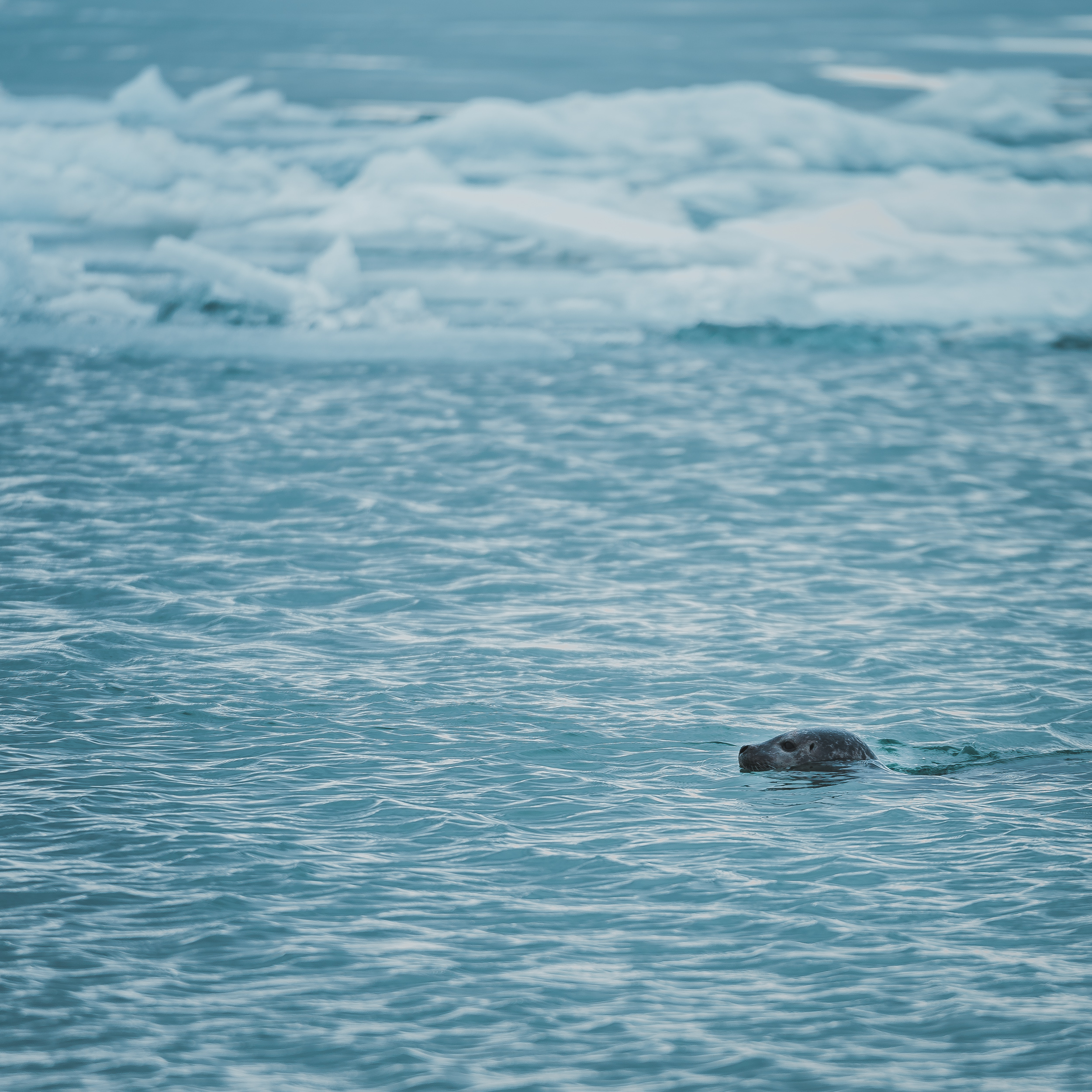
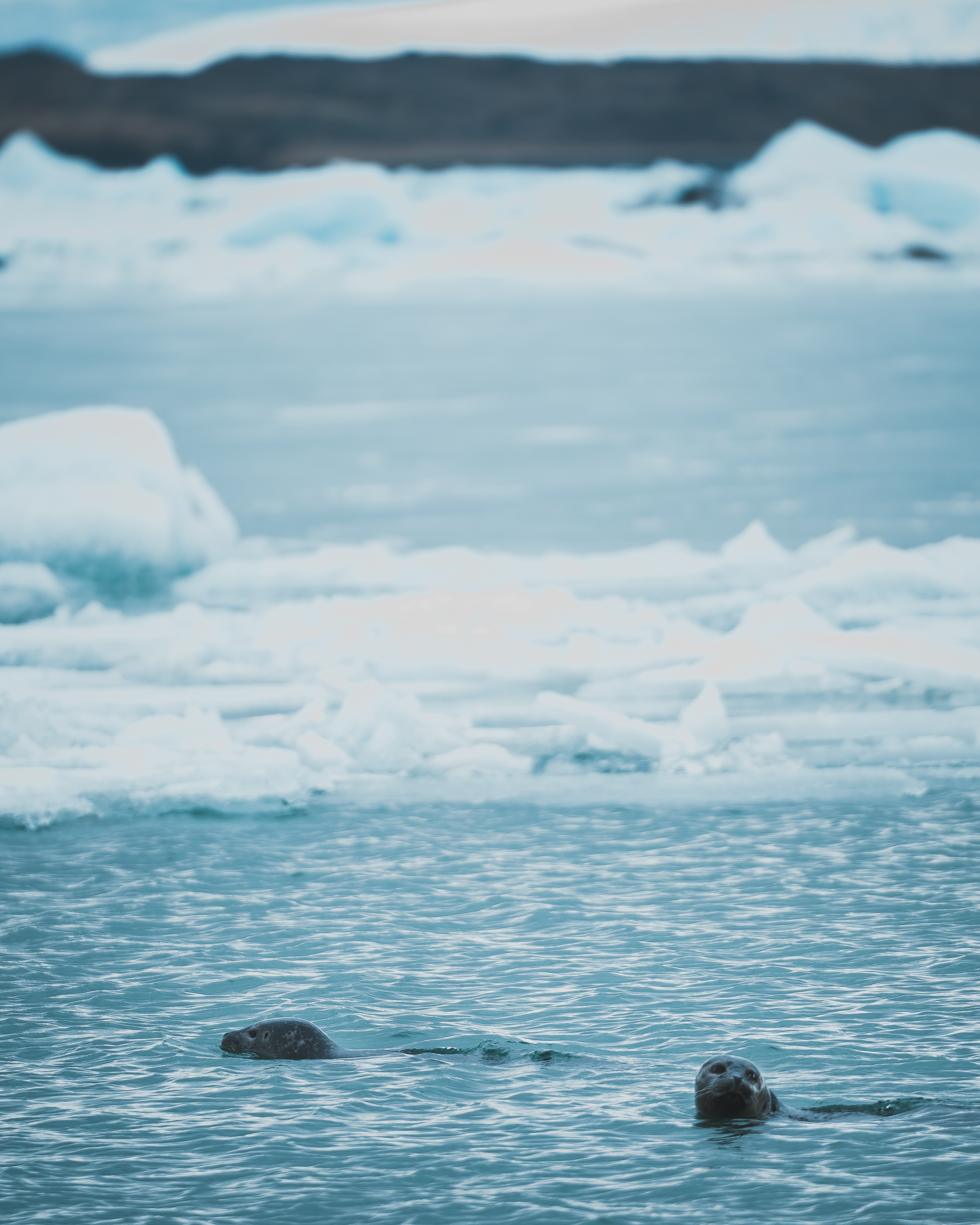
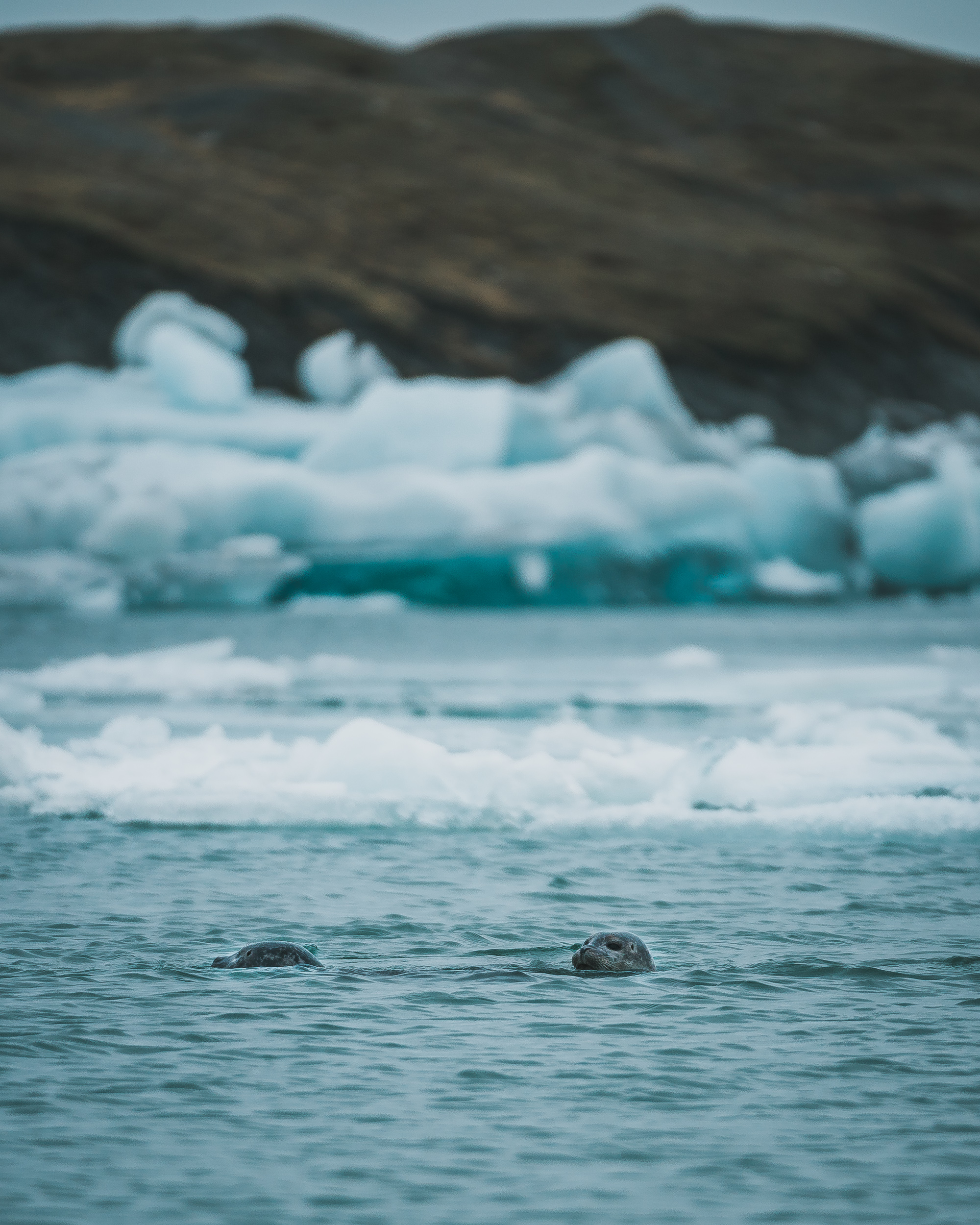
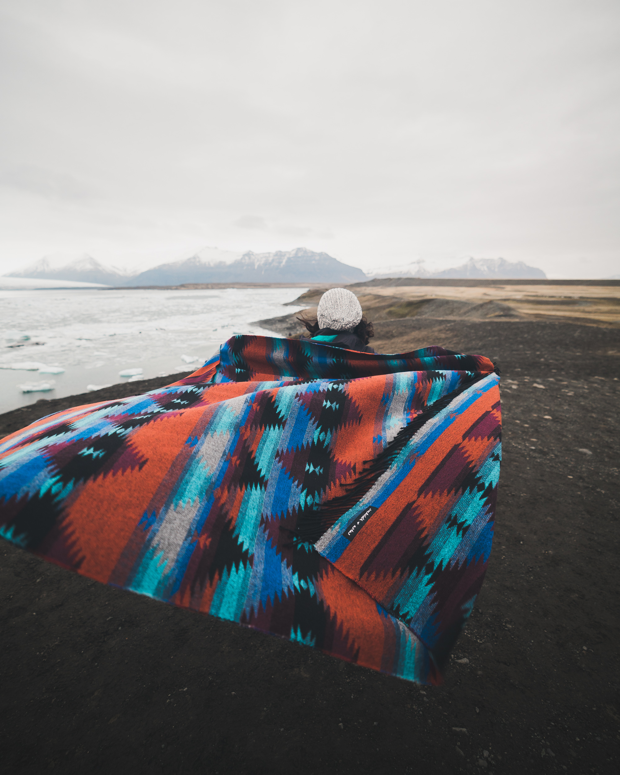
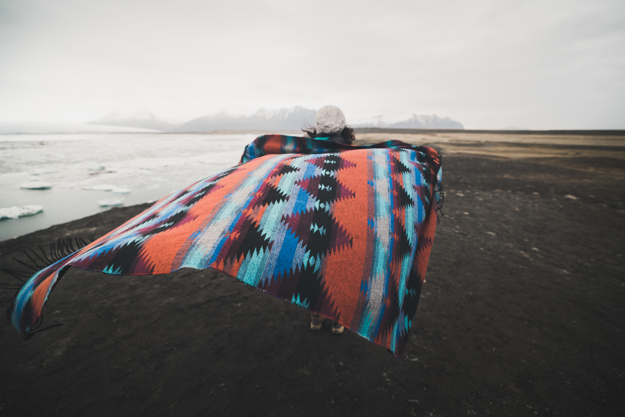
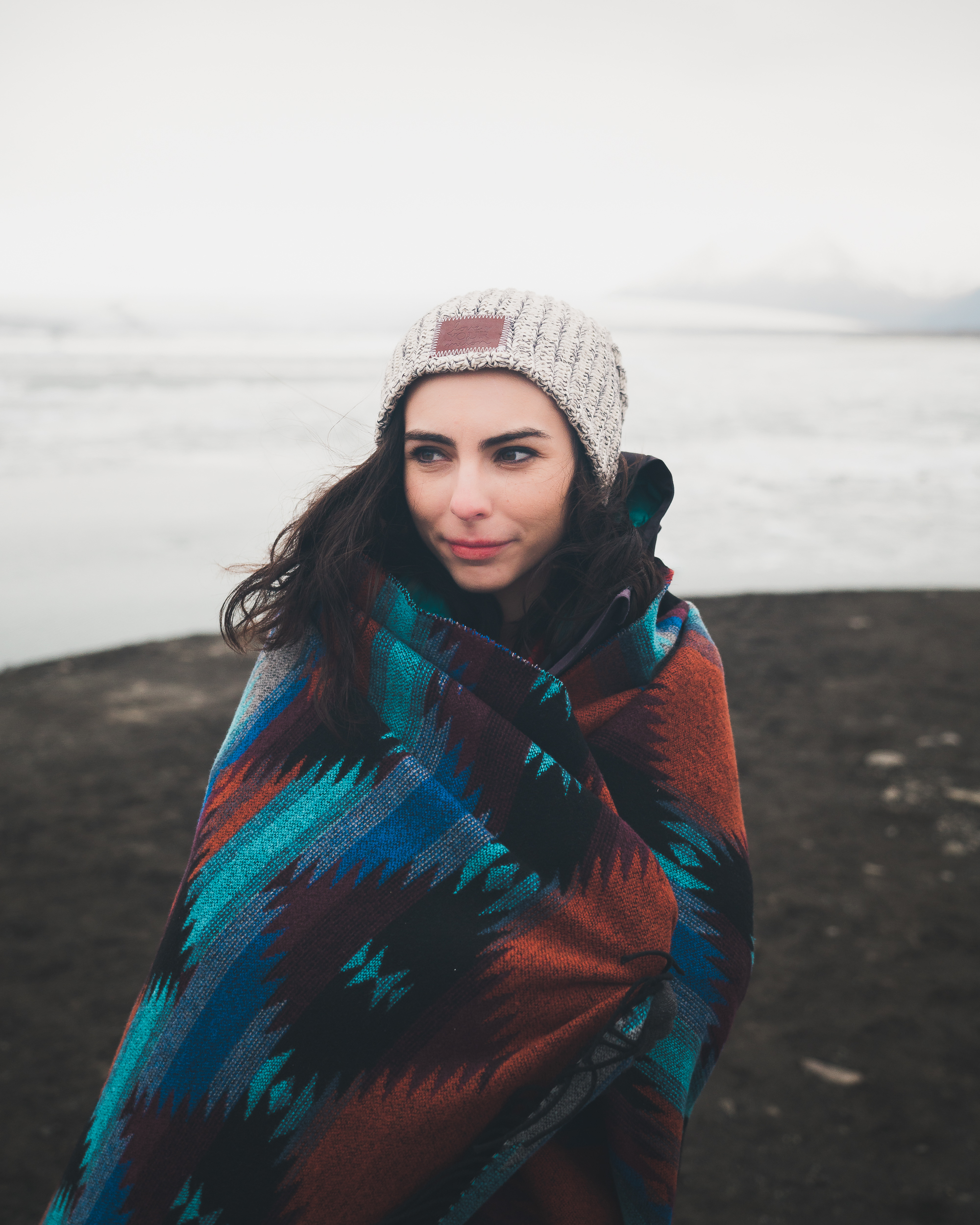
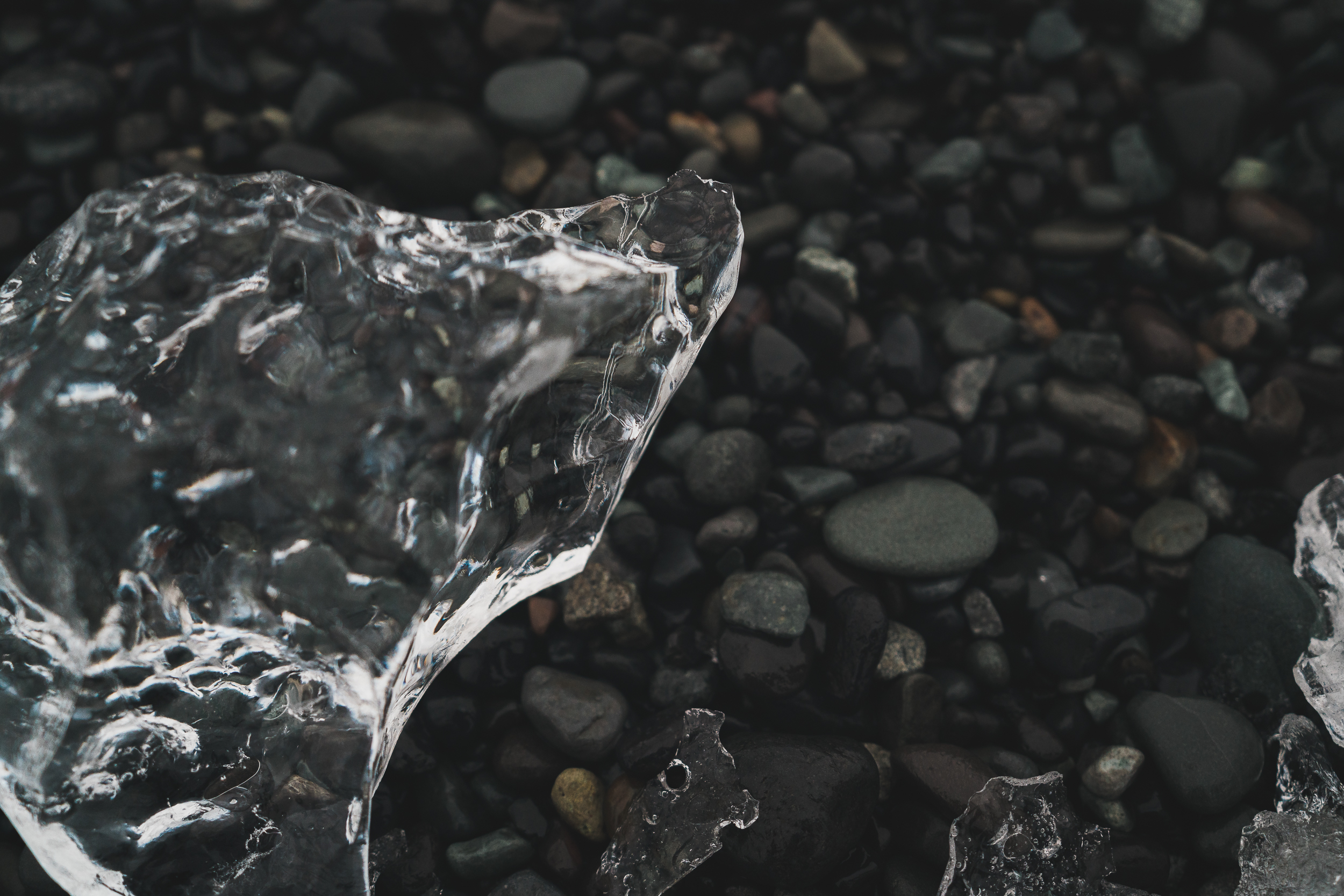
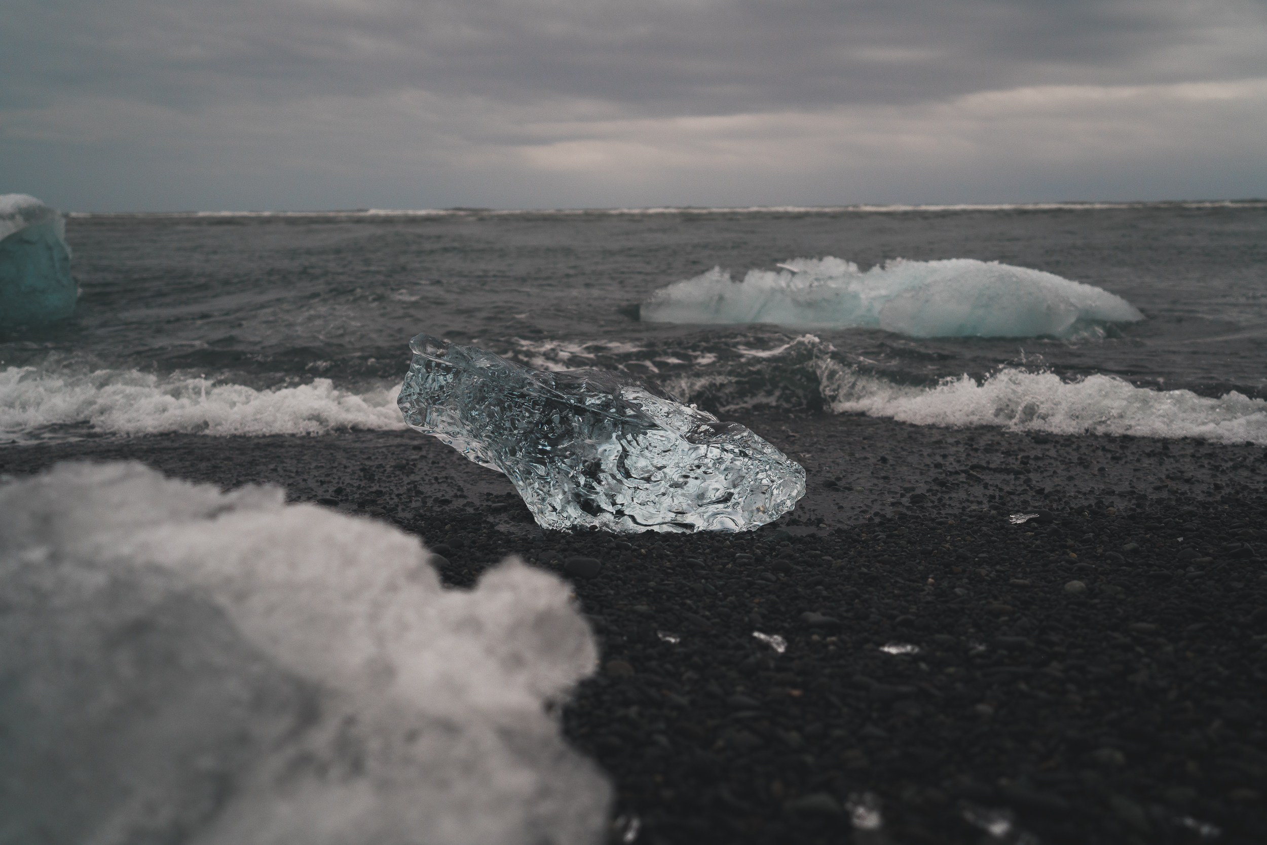
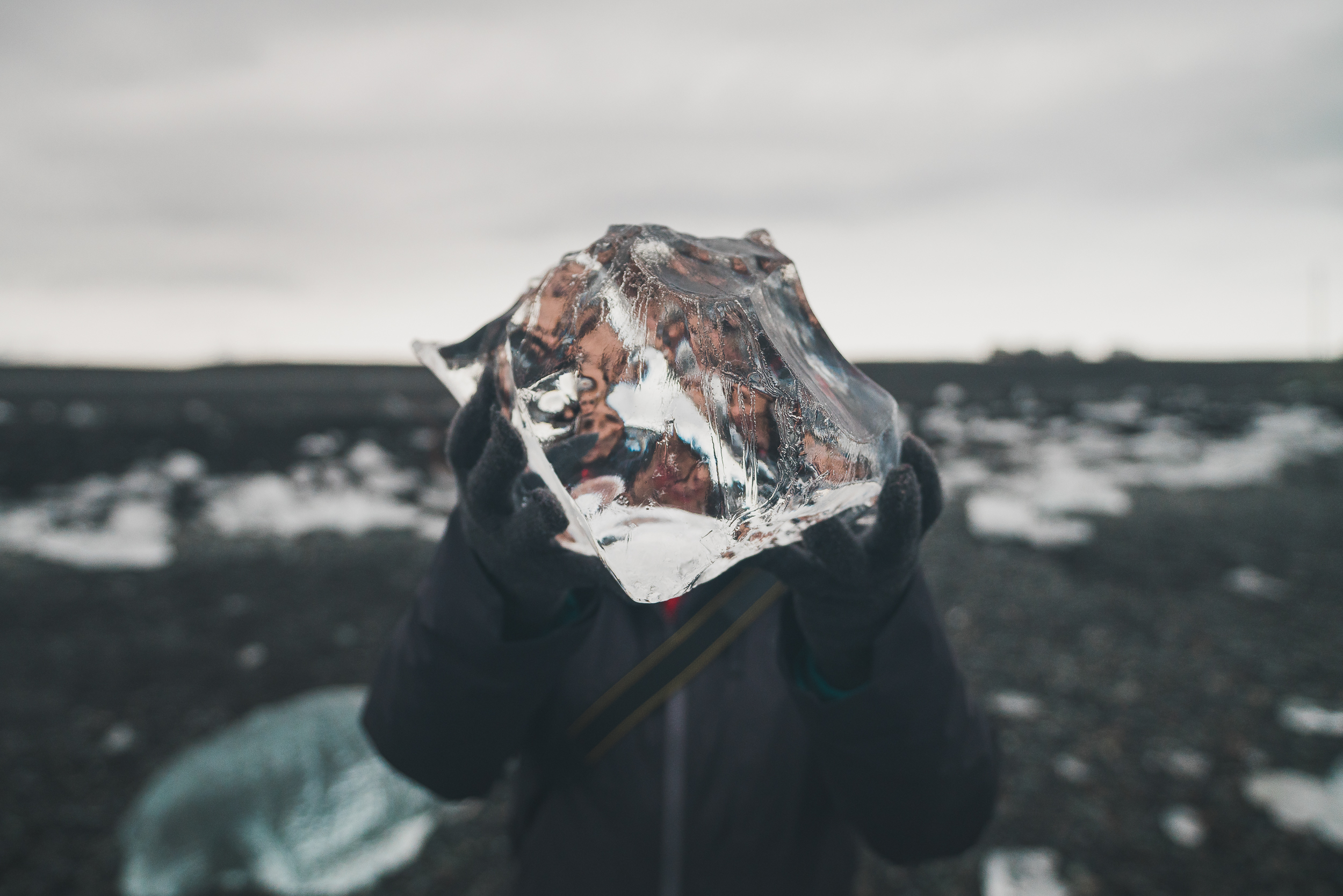
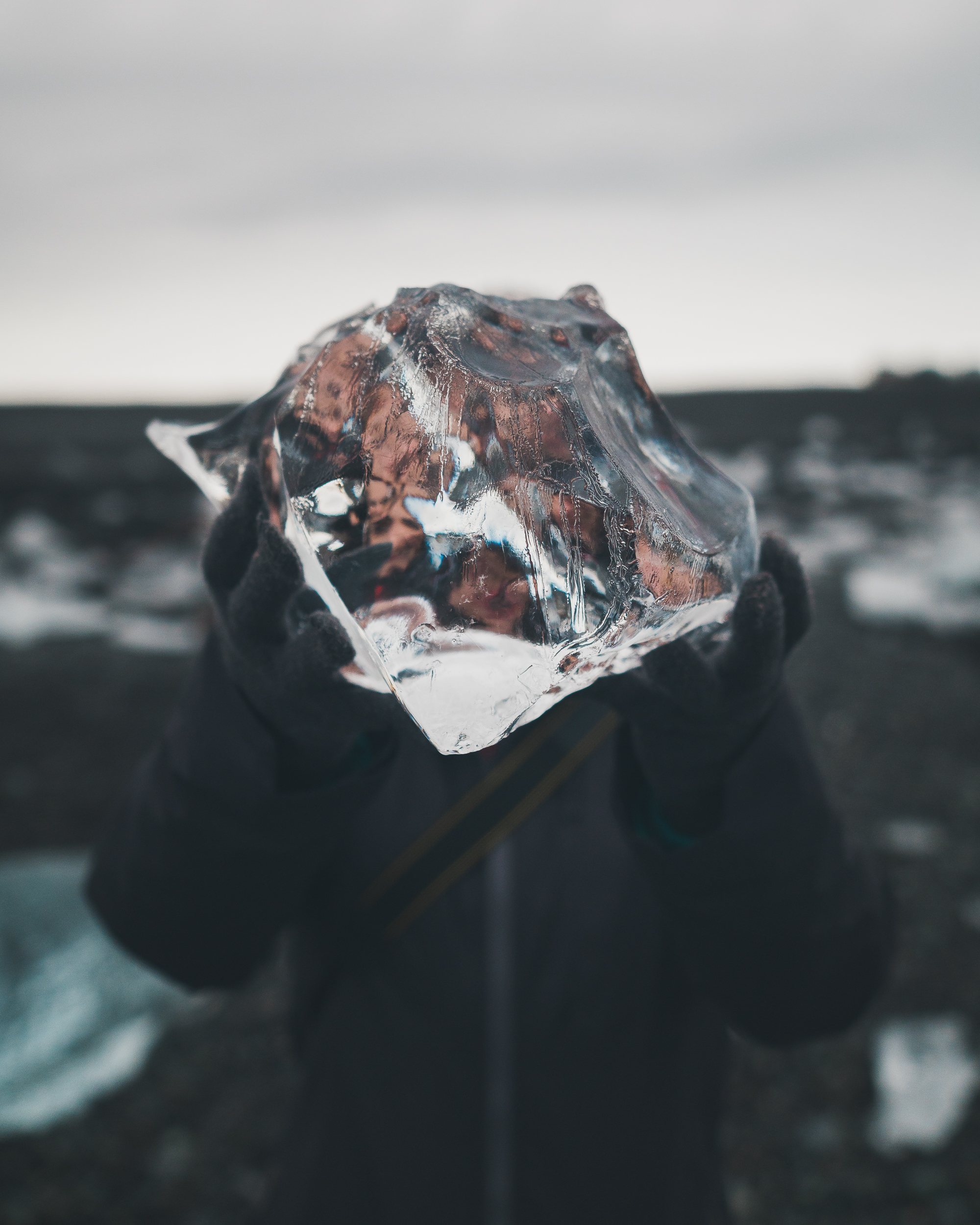
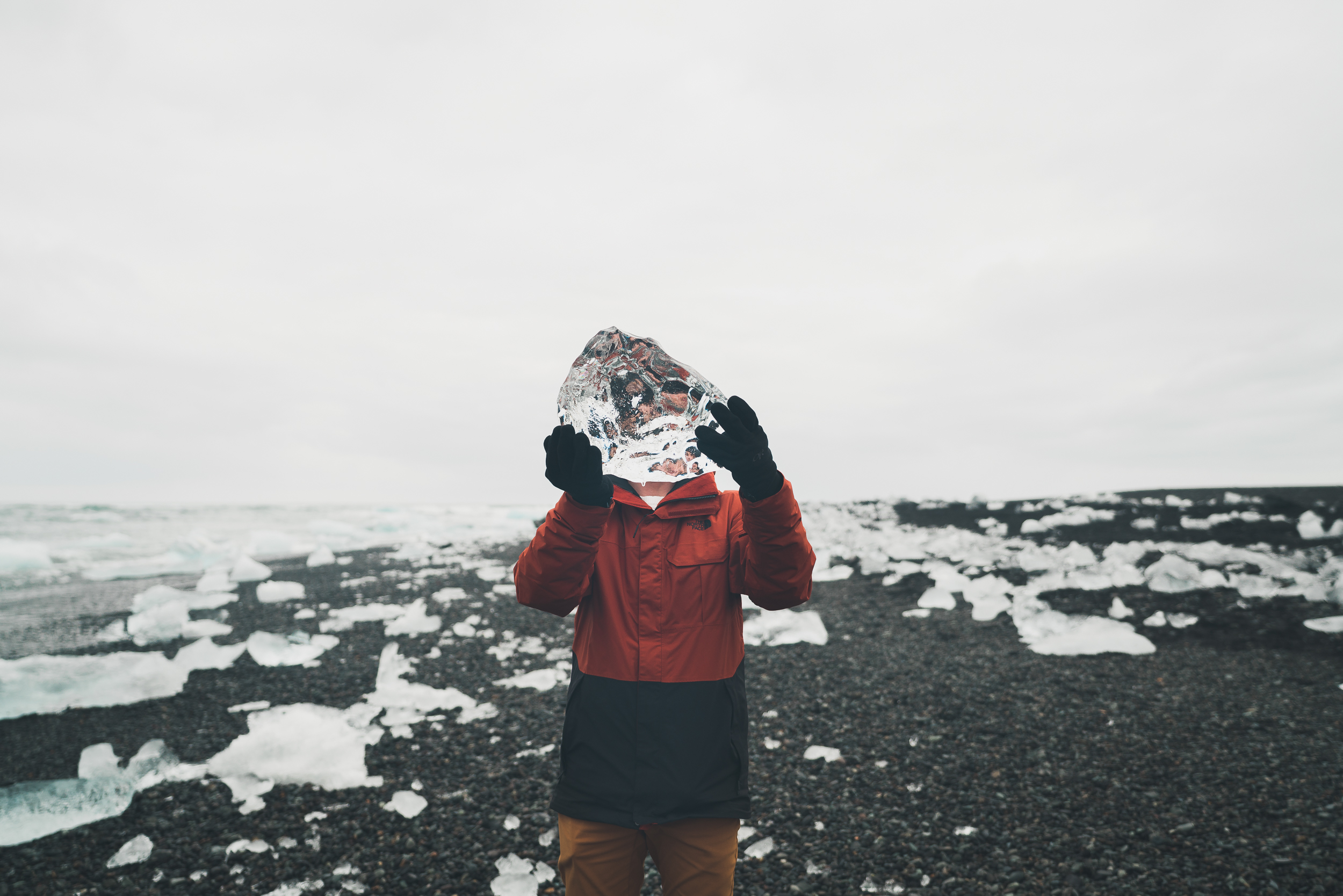
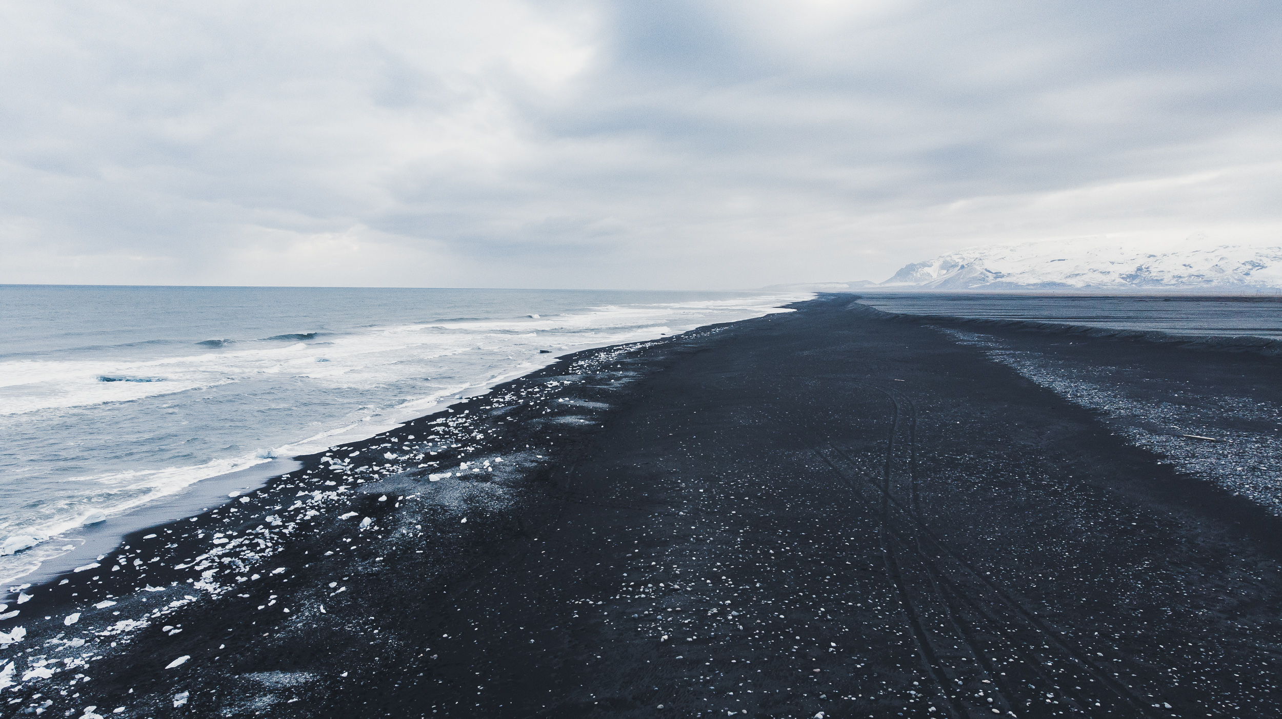
Jökulsárlón is the arctic. Massive icebergs float calmly on the lagoon's surface. Wild seals play in the water just close enough for their photo to be taken. A thin rocky beach stretches in around in a wide circle. Just across the street is Diamond Beach where hundreds of thousands of ice chunks beach themselves on the black sand. There are large and small pieces. Some of the ice is completely devoid of color, some have a blue tint to them. Some are crystal clear, and some are cloudy. Most are sprinkled across the black sand, but a few big pieces are still caught in the lull of the waves that push them to and fro.
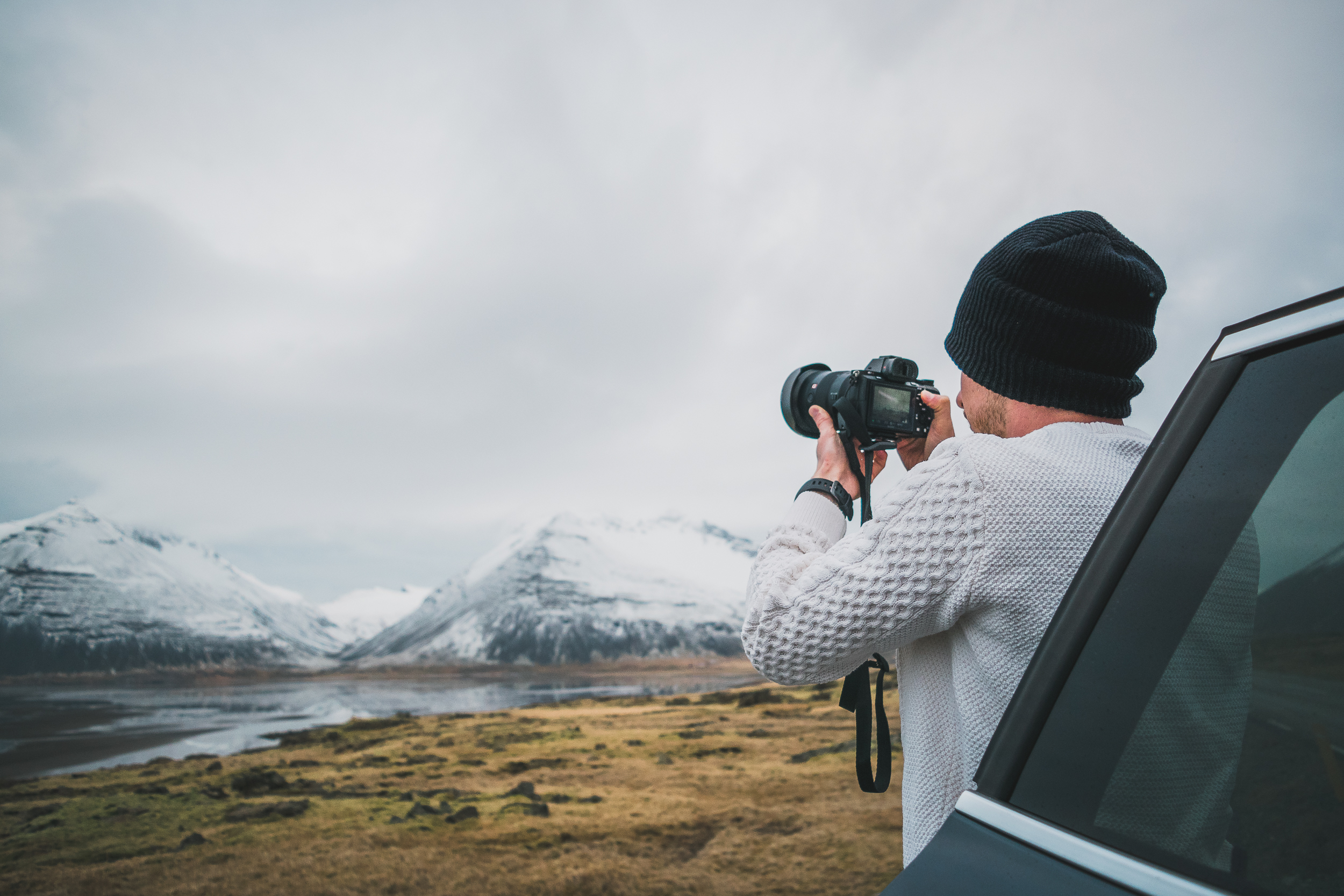
We were able to capture some stunning video here with our drone, but a freak malfunction compromised the camera gimble, making it nearly impossible to use for the rest of the trip. We were really bummed, but if there was one place to get drone shots, Diamond Beach was it.
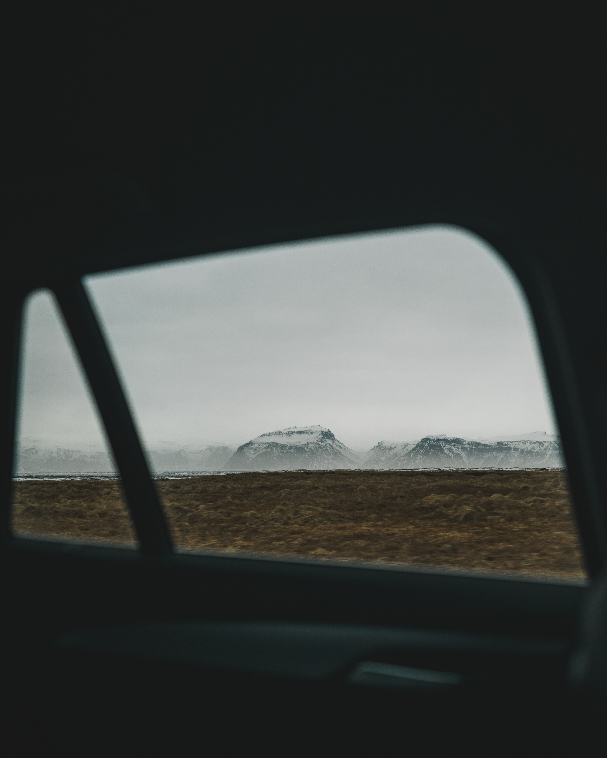
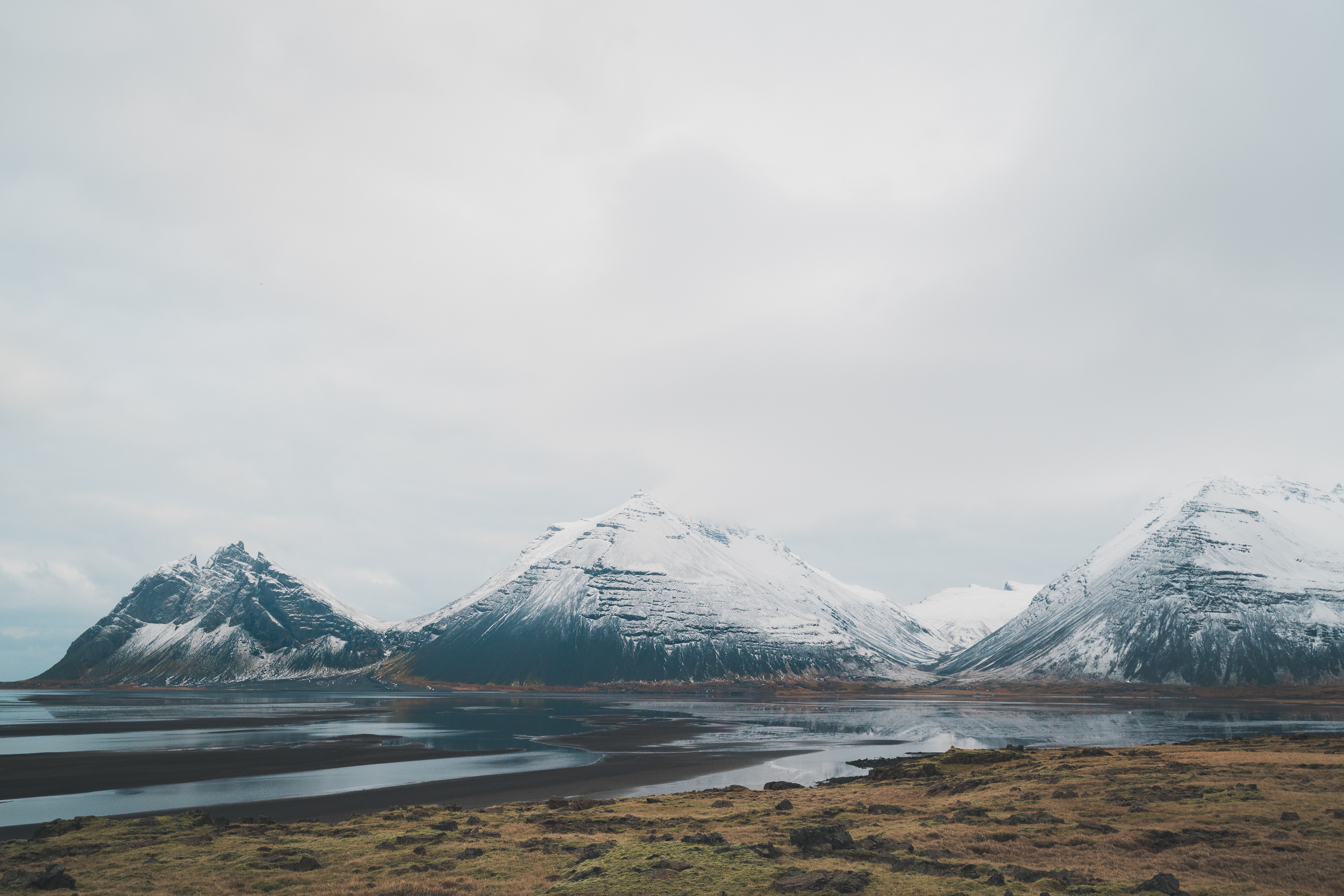
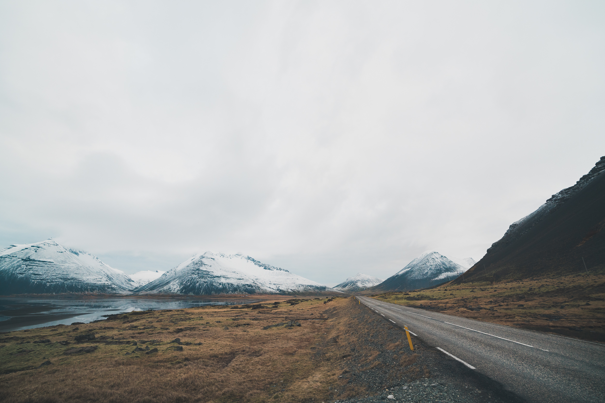
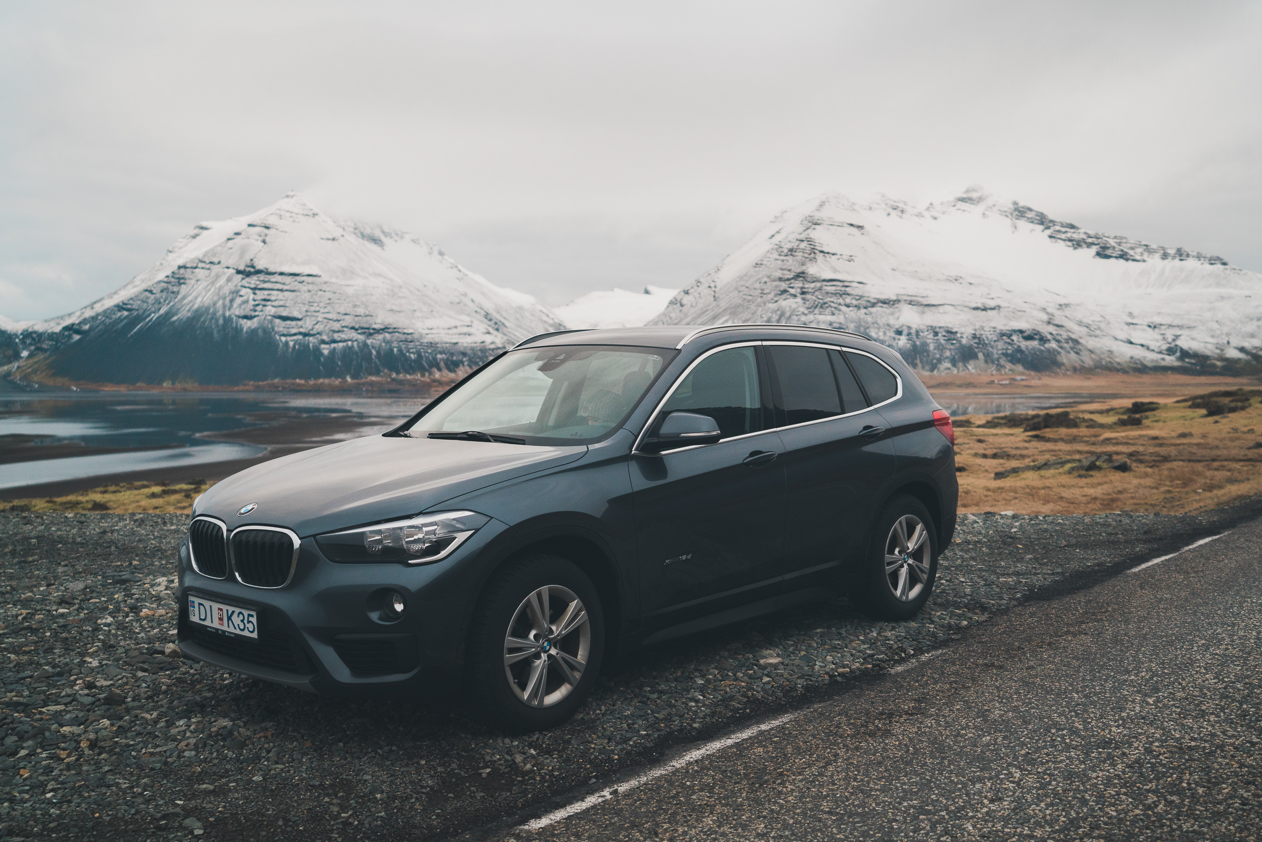
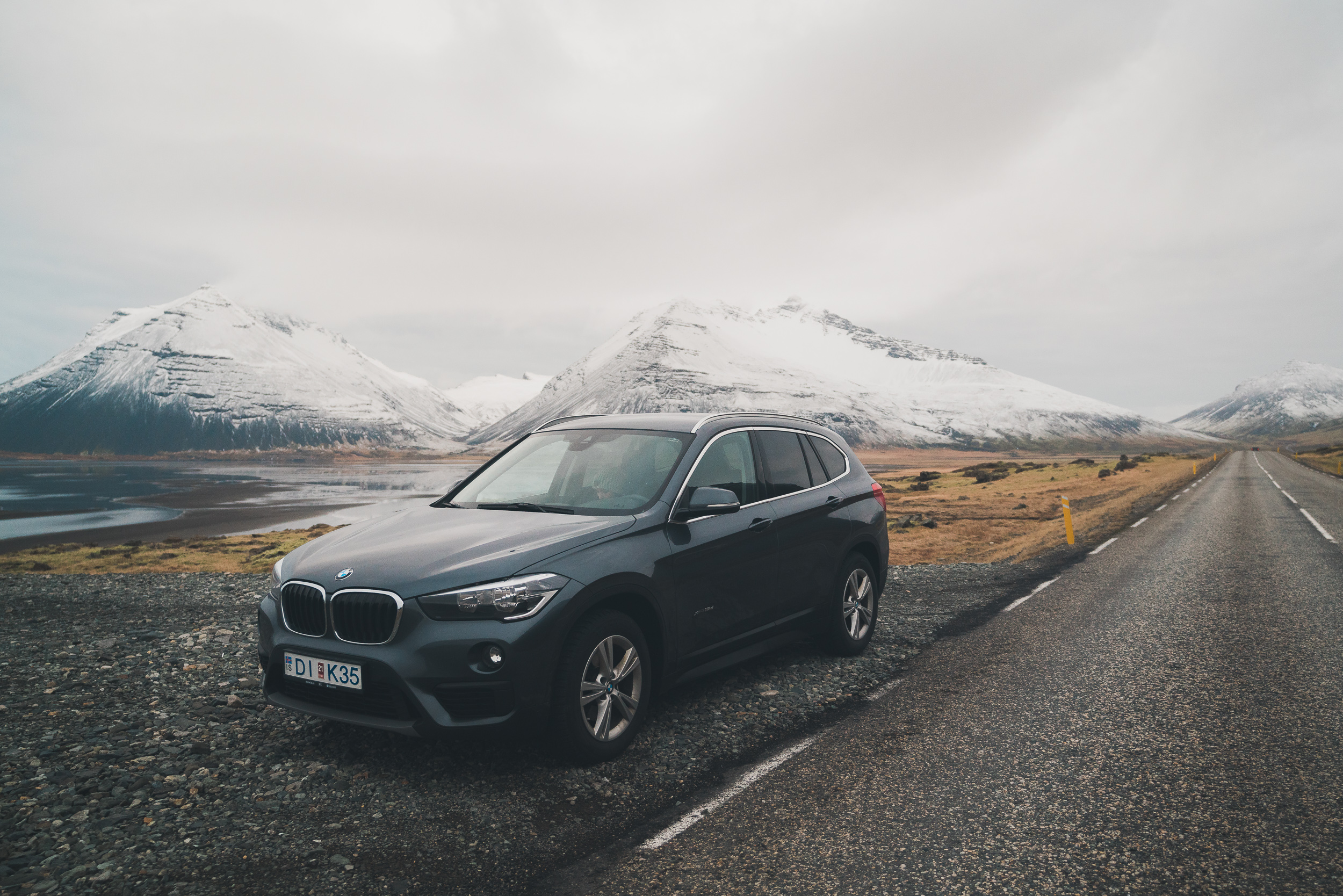
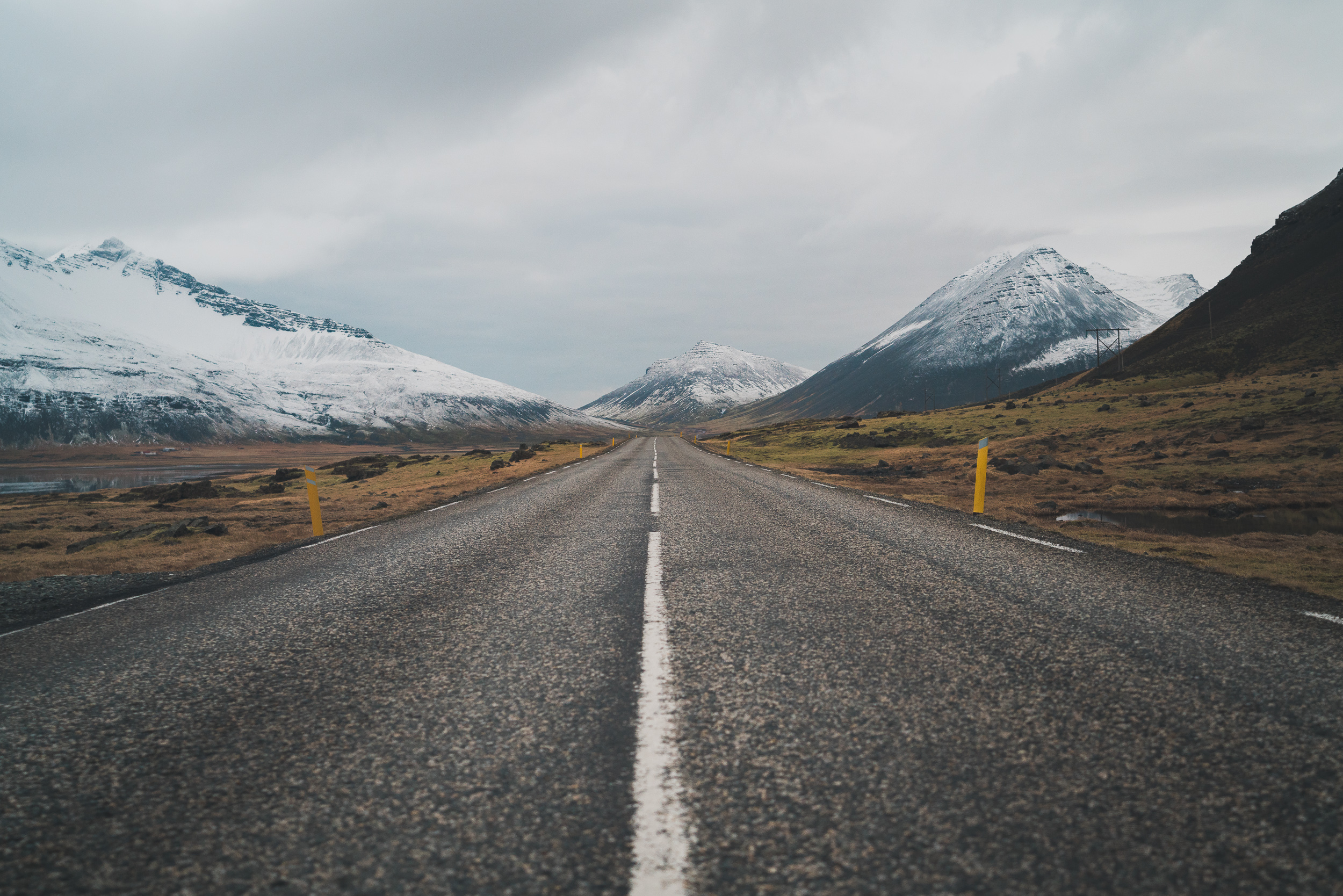
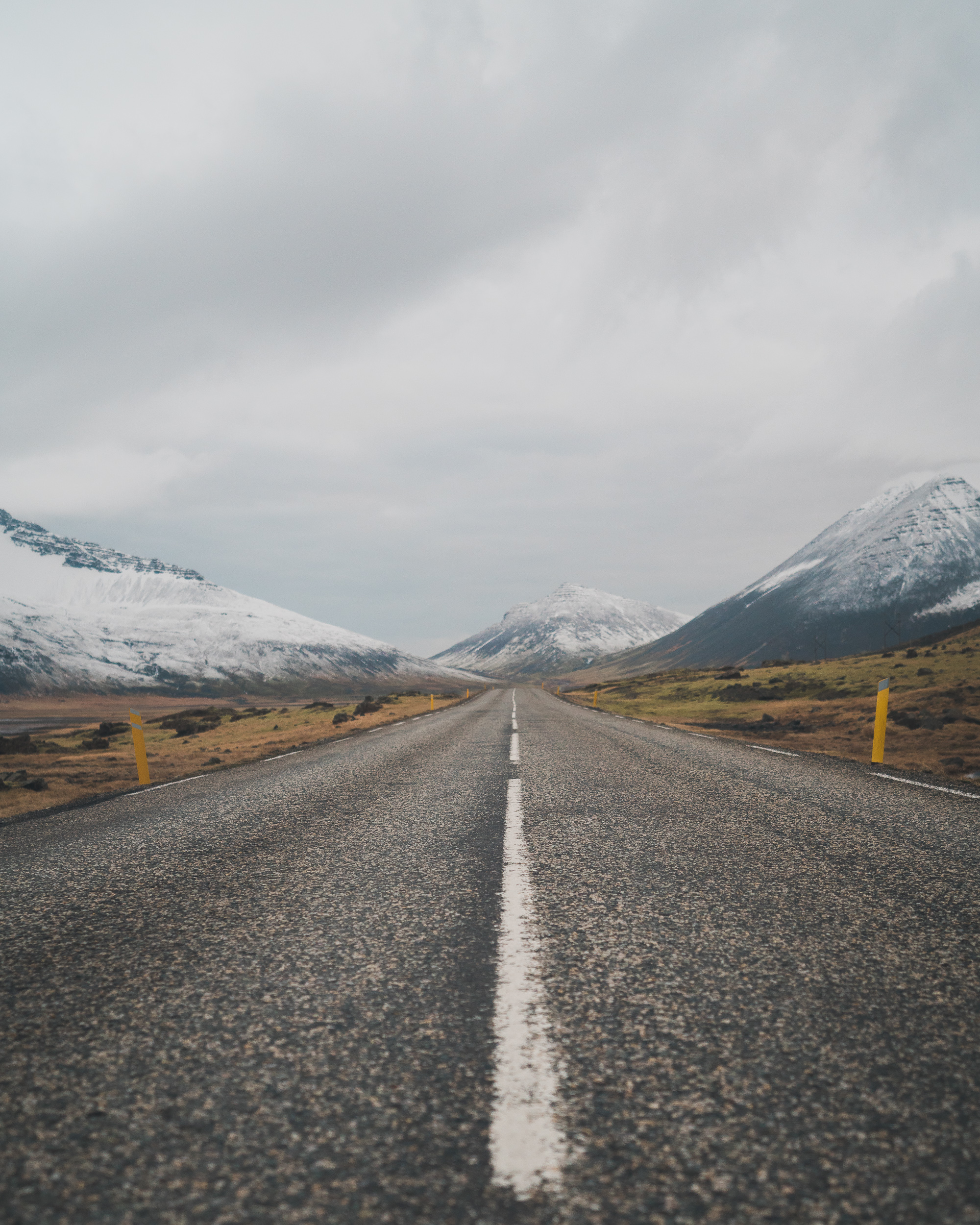
We continued on to our Airbnb for the night, driving through Öxi Pass. Unbeknownst to us until we got there, it's one of the most dangerous roads in Iceland. It takes you from sea level over a mountain peak and back down again with 17% grades, turns with no guard rails, and icy patches. The pass took about 45 minutes of intense driving in silence. It was an eerie place. We had arrived at nightfall, and mist and clouds enveloped us at the peak. The only color was white and the only landscape was snow. Though the quickest route to Egilsstaðir (our place for the night) we still made it to the Airbnb well past sun down.
Footnotes:
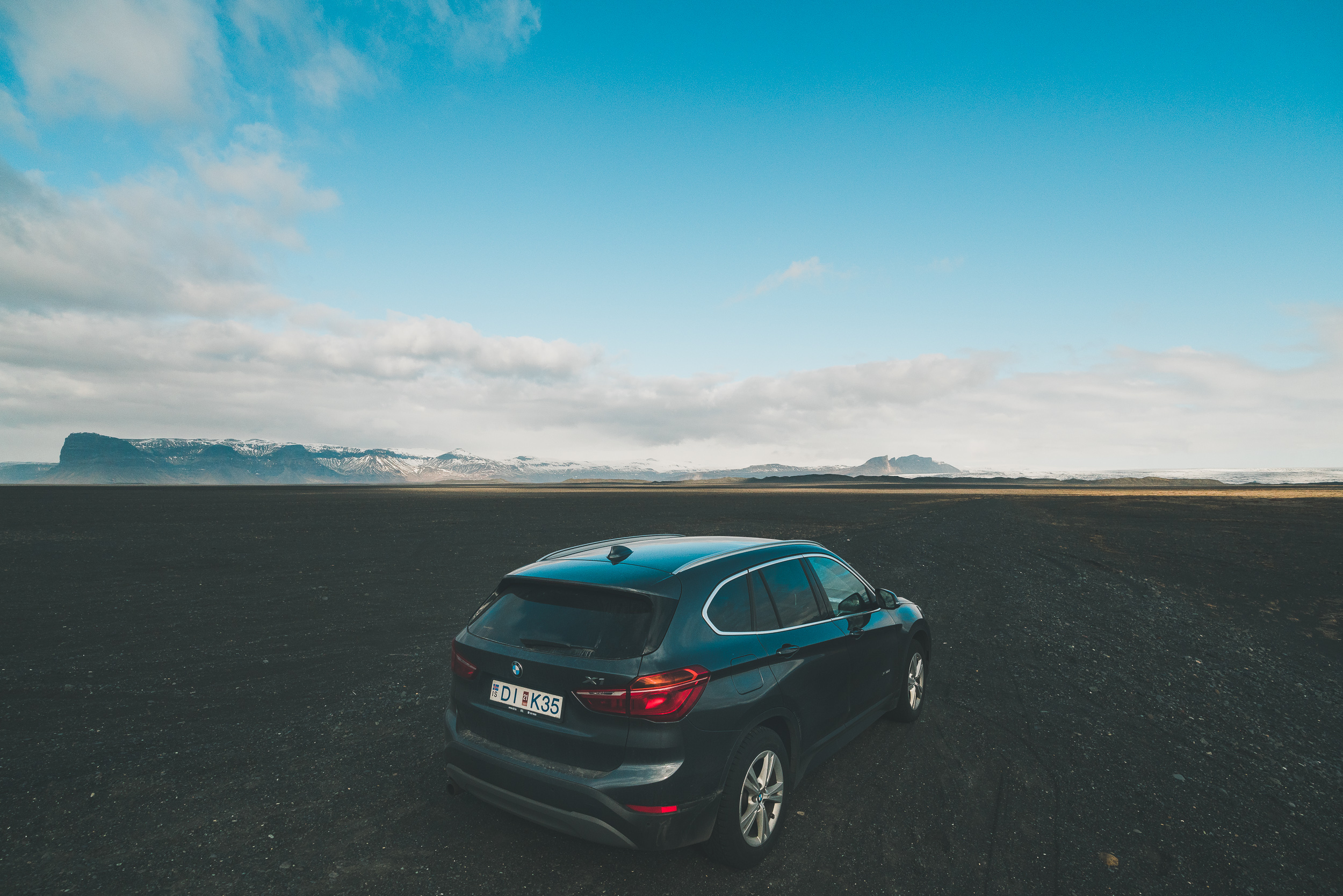
-The Ring Road (Route 1) is the standard paved road that takes you around Iceland. If Google Maps recommends you take other roads (like 939 Öxi Pass) check the conditions for your season. Google tried to direct us over a non-existent ferry one day too.
-The coast of Iceland is where the majority of people live and where paved roads are. The inside of the island is extremely mountainous and difficult to get to. The interior roads that require an off-road vehicle are called F-roads.
-There's a good chance your drone may never leave your bag due to "No Drone" signs at almost every drone-worthy site, or treacherous winds and rain